
| Memorials | : | 0 |
| Location | : | Emerson, Columbia County, USA |
| Coordinate | : | 33.0401840, -93.1456950 |
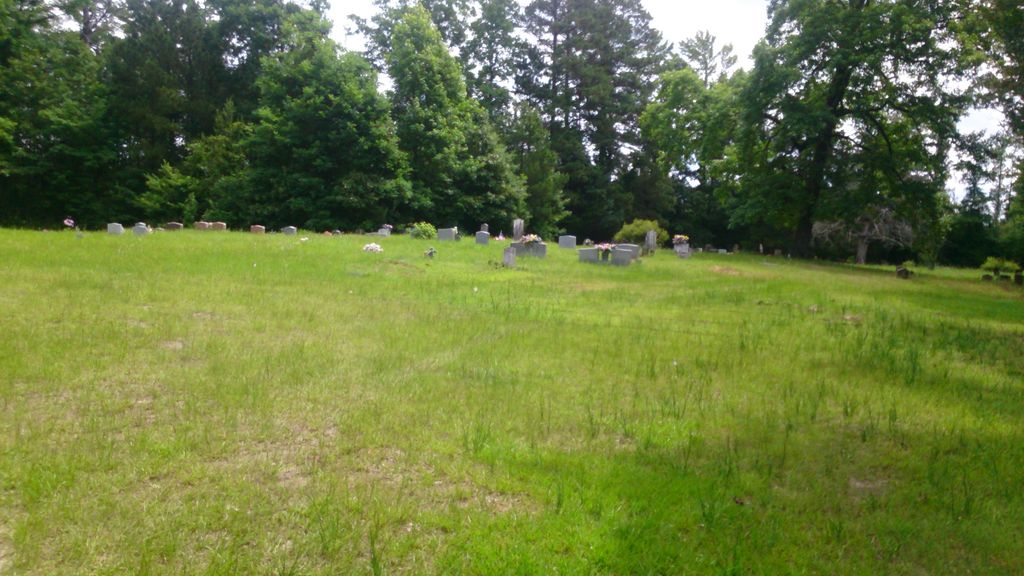
| Description | : | Forest Grove Cemetery African American, Emerson, Columbia County, Arkansas. South of Emerson, Arkansas, 1 - 2 miles East of Hwy 79 off E Columbia Road 14. |
frequently asked questions (FAQ):
-
Where is Forest Grove Cemetery?
Forest Grove Cemetery is located at off E Columbia Road 14 Emerson, Columbia County ,Arkansas ,USA.
-
Forest Grove Cemetery cemetery's updated grave count on graveviews.com?
0 memorials
-
Where are the coordinates of the Forest Grove Cemetery?
Latitude: 33.0401840
Longitude: -93.1456950
Nearby Cemetories:
1. Traylor Cemetery
Columbia County, USA
Coordinate: 33.0222015, -93.1183014
2. Elliott Cemetery
Columbia County, USA
Coordinate: 33.0738983, -93.1361008
3. Providence Cemetery
Emerson, Columbia County, USA
Coordinate: 33.0752983, -93.1421967
4. New Hope Baptist Church Cemetery
Columbia County, USA
Coordinate: 33.0402550, -93.1024540
5. Anderson Cemetery
Forest Grove, Columbia County, USA
Coordinate: 33.0210991, -93.1838989
6. Chalybeate Springs Cemetery
Emerson, Columbia County, USA
Coordinate: 33.0435982, -93.0830994
7. Wards Chapel Cemetery
Claiborne Parish, USA
Coordinate: 32.9935000, -93.1783000
8. Nall Family Cemetery
Magnolia, Columbia County, USA
Coordinate: 33.1001700, -93.1441500
9. Pine Hill Cemetery
Columbia County, USA
Coordinate: 33.0542780, -93.2159760
10. Emerson Cemetery
Columbia County, USA
Coordinate: 33.0919020, -93.1968650
11. Mount Pisgah Cemetery
Emerson, Columbia County, USA
Coordinate: 33.0451340, -93.2261940
12. Emerson Presbyterian Cemetery
Emerson, Columbia County, USA
Coordinate: 33.0996800, -93.1913160
13. Wares Chapel Cemetery
Emerson, Columbia County, USA
Coordinate: 33.0280571, -93.0587997
14. New Ramah Cemetery
Haynesville, Claiborne Parish, USA
Coordinate: 33.0002500, -93.2201800
15. Teague Cemetery
Claiborne Parish, USA
Coordinate: 32.9942017, -93.0710983
16. Shady Grove Cemetery
Haynesville, Claiborne Parish, USA
Coordinate: 32.9622002, -93.1722031
17. Friendship Cemetery
Haynesville, Claiborne Parish, USA
Coordinate: 32.9441986, -93.1260986
18. McClendon Cemetery
Columbia County, USA
Coordinate: 33.1361008, -93.1128006
19. Old Town Cemetery 2
Claiborne Parish, USA
Coordinate: 32.9386100, -93.1372200
20. Old Town Cemetery
Haynesville, Claiborne Parish, USA
Coordinate: 32.9380989, -93.1389008
21. Mount Israel Cemetery
Atlanta, Columbia County, USA
Coordinate: 33.1113910, -93.0570730
22. Glover Cemetery
Columbia County, USA
Coordinate: 33.0597000, -93.2664032
23. Atlanta Methodist Church Cemetery
Atlanta, Columbia County, USA
Coordinate: 33.1129760, -93.0542760
24. Taylor Cemetery
Claiborne Parish, USA
Coordinate: 32.9338989, -93.1453018