
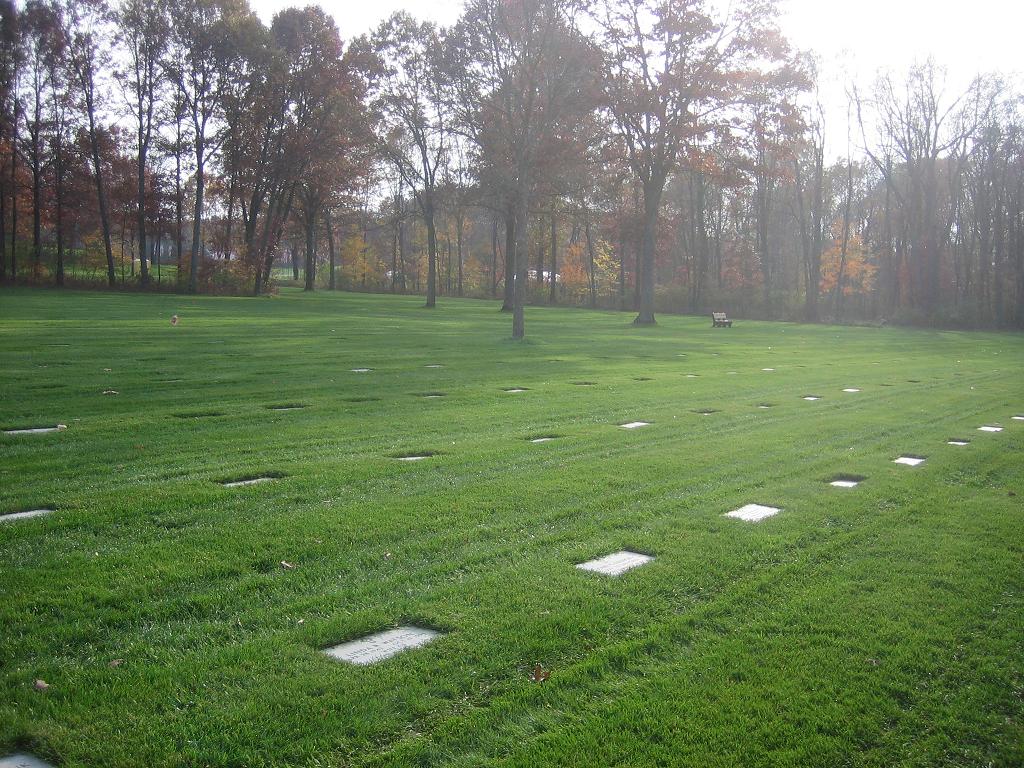
| Memorials | : | 1670 |
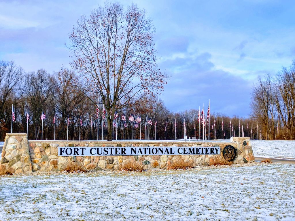
| Location | : | Augusta, Kalamazoo County, USA |
| Phone | : | (269) 731-4164 |
| Website | : | www.cem.va.gov/cems/nchp/ftcuster.asp |
| Coordinate | : | 42.3384514, -85.3191986 |
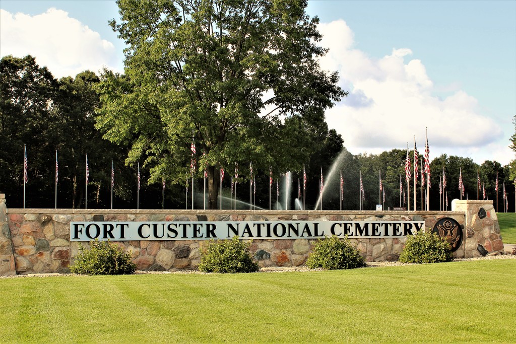
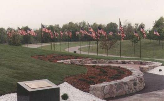
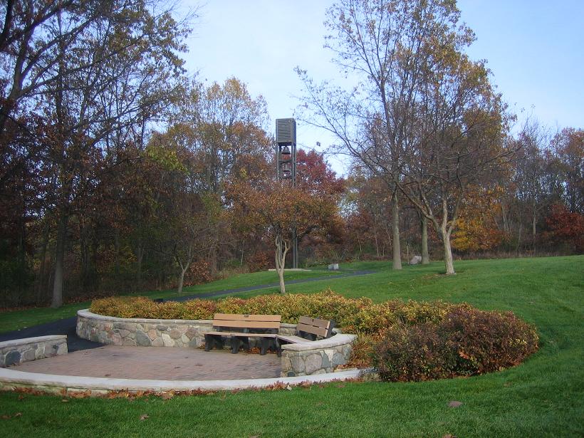
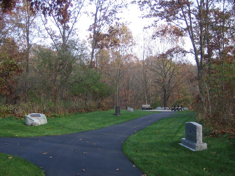
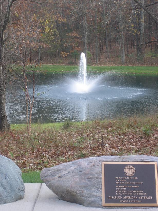
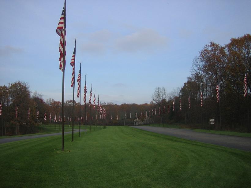
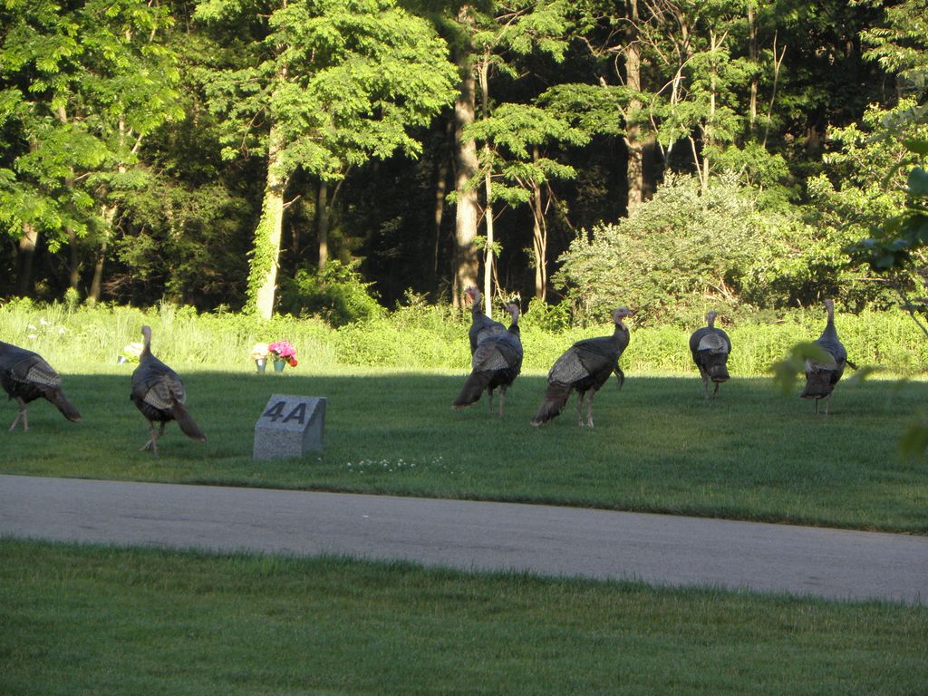
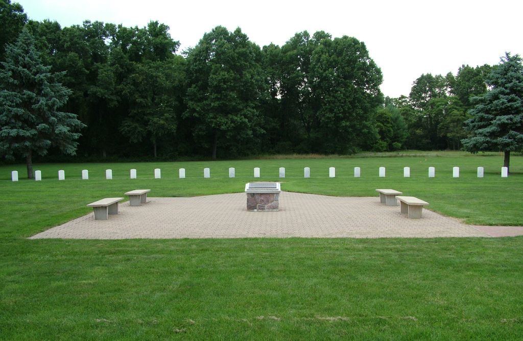
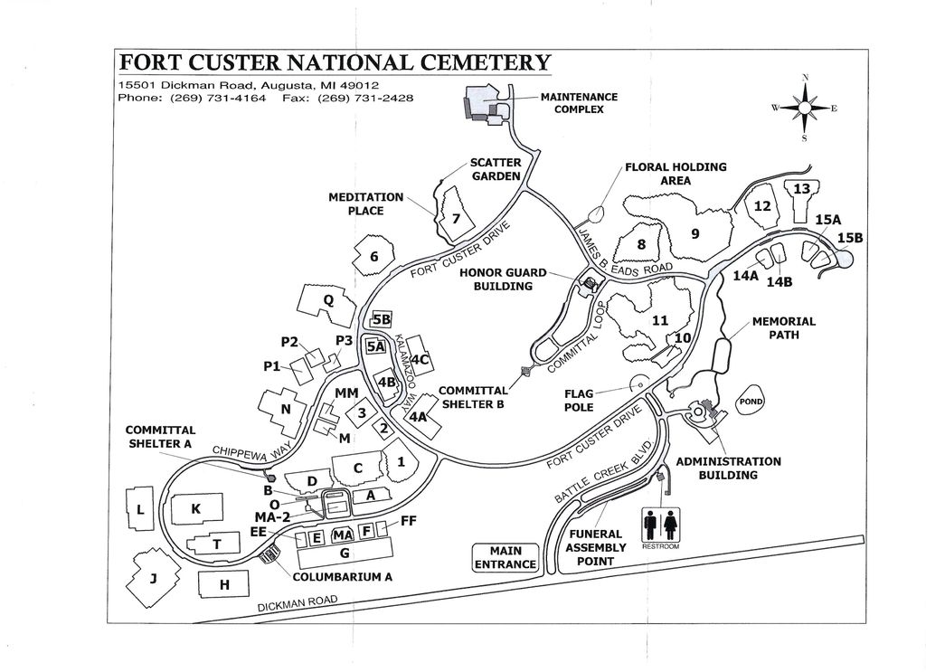
| Description | : | Office Hours: Monday thru Friday 8:00 a.m. to 4:30 p.m. Closed federal holidays. Visitation Hours: Open daily from dawn to dusk. Fort Custer was named after General George Armstrong Custer, a native of the state of Michigan. The original Camp Custer was built in 1917 on 130 parcels of land, mainly small farms leased to the government by the local chamber of commerce as part of the military mobilization for World War I. After a two-year grace period, the Army was allowed to buy it for about $98 an acre. Construction of the camp started in July 1917 and within five months 2,000 buildings... Read More |
frequently asked questions (FAQ):
-
Where is Fort Custer National Cemetery?
Fort Custer National Cemetery is located at 15501 Dickman Road Augusta, Kalamazoo County ,Michigan , 49012USA.
-
Fort Custer National Cemetery cemetery's updated grave count on graveviews.com?
1463 memorials
-
Where are the coordinates of the Fort Custer National Cemetery?
Latitude: 42.3384514
Longitude: -85.3191986
Nearby Cemetories:
1. Augusta Cemetery
Augusta, Kalamazoo County, USA
Coordinate: 42.3392240, -85.3566830
2. Harmonia Cemetery
Bedford, Calhoun County, USA
Coordinate: 42.3436012, -85.2782974
3. Lawler Cemetery
Augusta, Kalamazoo County, USA
Coordinate: 42.3050003, -85.3469009
4. Ross Center Cemetery
Augusta, Kalamazoo County, USA
Coordinate: 42.3760986, -85.3619003
5. Day Cemetery
Augusta, Kalamazoo County, USA
Coordinate: 42.3905983, -85.3285980
6. Howlandsburg Cemetery
Ross Township, Kalamazoo County, USA
Coordinate: 42.3344002, -85.3961029
7. Reese Cemetery
Springfield, Calhoun County, USA
Coordinate: 42.3196983, -85.2375031
8. Memorial Park Sunset Gardens
Battle Creek, Calhoun County, USA
Coordinate: 42.3010950, -85.2393690
9. Youngs Cemetery
Battle Creek, Calhoun County, USA
Coordinate: 42.3031693, -85.2358398
10. Memorial Park Cemetery
Battle Creek, Calhoun County, USA
Coordinate: 42.3005981, -85.2358017
11. Yorkville Cemetery
Yorkville, Kalamazoo County, USA
Coordinate: 42.3773190, -85.4048660
12. Oak Grove Cemetery
Galesburg, Kalamazoo County, USA
Coordinate: 42.3008003, -85.4152985
13. Haskell Home Cemetery
Battle Creek, Calhoun County, USA
Coordinate: 42.3350590, -85.2093310
14. Riverside Cemetery
Galesburg, Kalamazoo County, USA
Coordinate: 42.2831001, -85.4011002
15. Harmon Halladay Cemetery
Bedford, Calhoun County, USA
Coordinate: 42.3546982, -85.2061005
16. Roof Cemetery
Climax, Kalamazoo County, USA
Coordinate: 42.2538986, -85.3368988
17. Bedford Cemetery
Bedford Township, Calhoun County, USA
Coordinate: 42.3938103, -85.2306671
18. Galesburg City Cemetery
Galesburg, Kalamazoo County, USA
Coordinate: 42.2925491, -85.4193878
19. Shafter Cemetery
Galesburg, Kalamazoo County, USA
Coordinate: 42.2966995, -85.4261017
20. Beckley Cemetery
Battle Creek, Calhoun County, USA
Coordinate: 42.2633018, -85.2375031
21. Toad Hollow Cemetery
Galesburg, Kalamazoo County, USA
Coordinate: 42.2541885, -85.3854828
22. Prairie Home Cemetery
Climax, Kalamazoo County, USA
Coordinate: 42.2351189, -85.3364410
23. Prairie Home Cemetery
Richland, Kalamazoo County, USA
Coordinate: 42.3760470, -85.4507590
24. Saint Thomas Episcopal Church Memorial Gardens
Battle Creek, Calhoun County, USA
Coordinate: 42.3208710, -85.1795390