
| Memorials | : | 101 |
| Location | : | Minneapolis, Hennepin County, USA |
| Phone | : | 612-726-1127 |
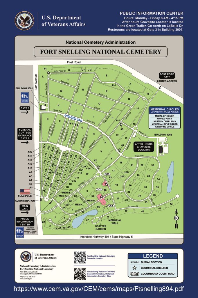
| Website | : | www.cem.va.gov/cems/nchp/ftsnelling.asp |
| Coordinate | : | 44.8645935, -93.2227631 |
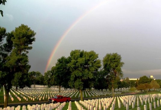
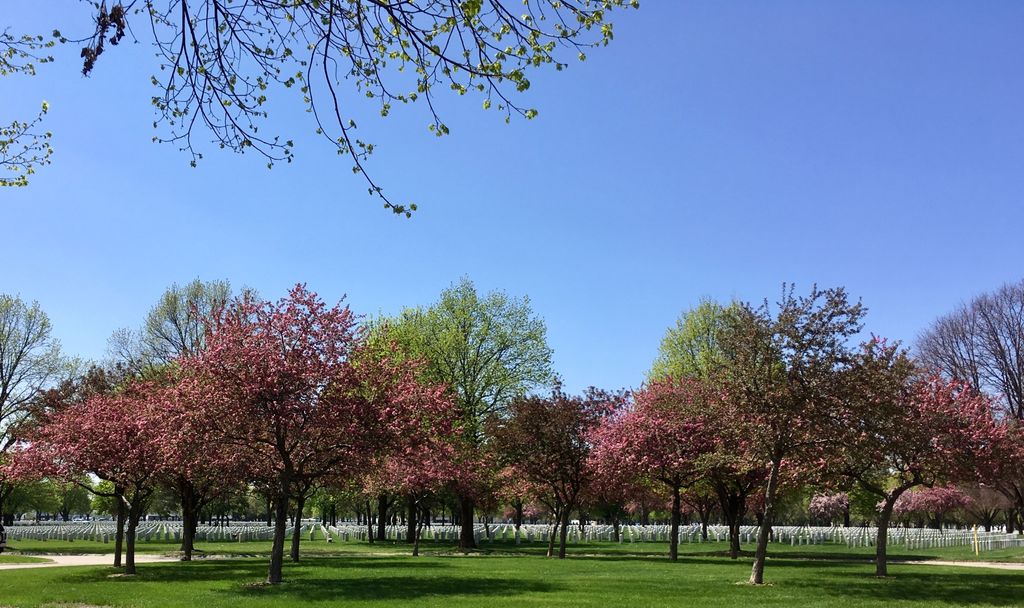
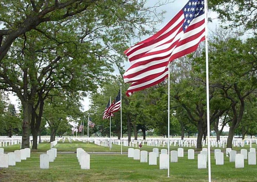
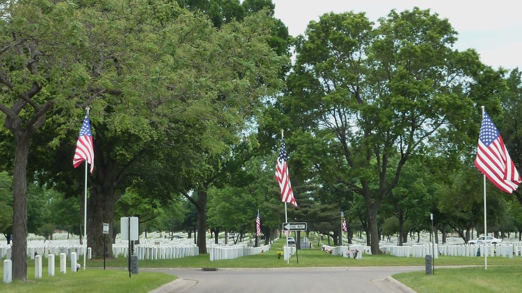
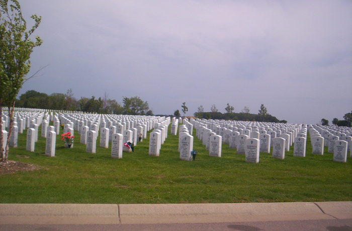
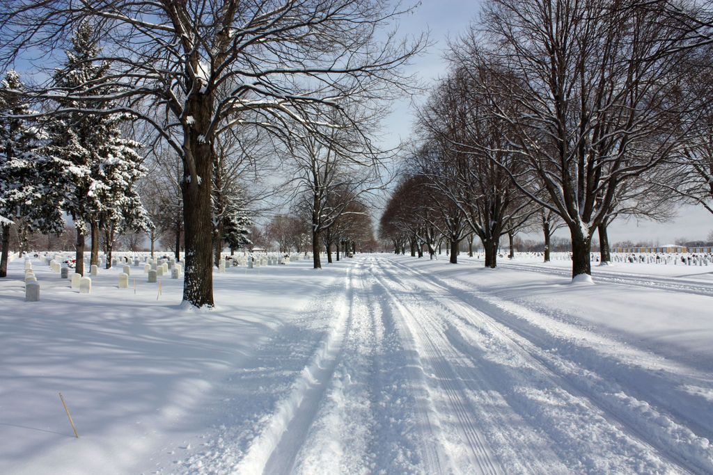
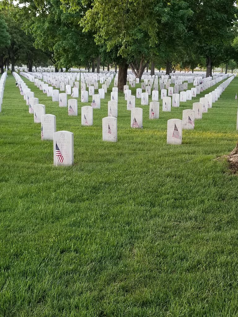
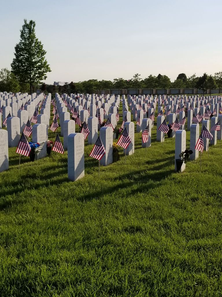
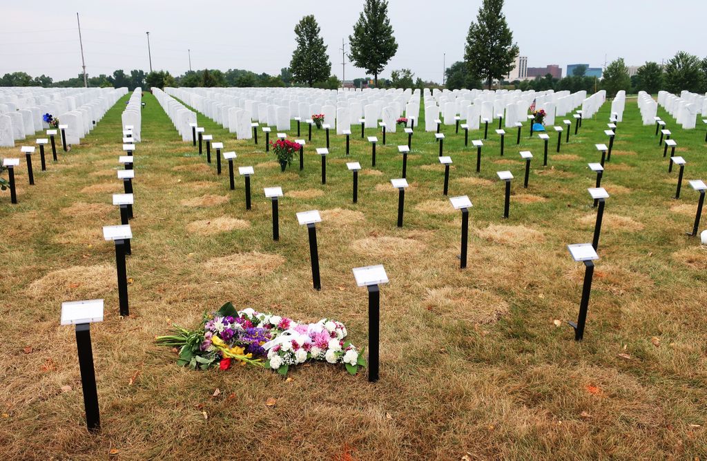
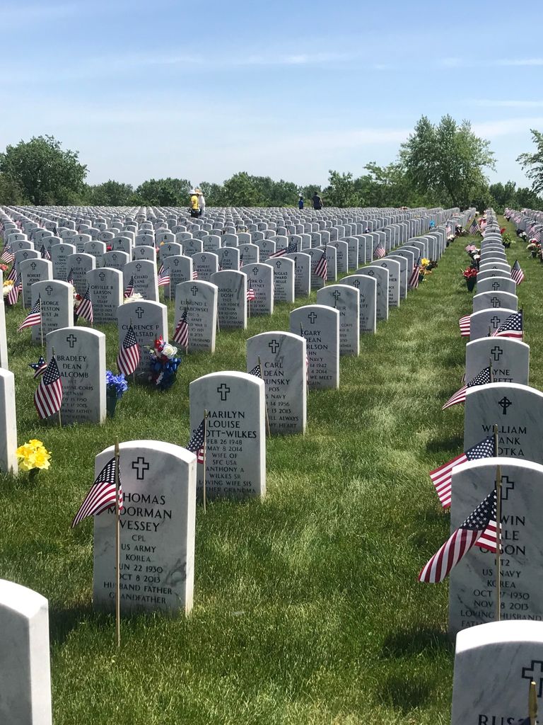
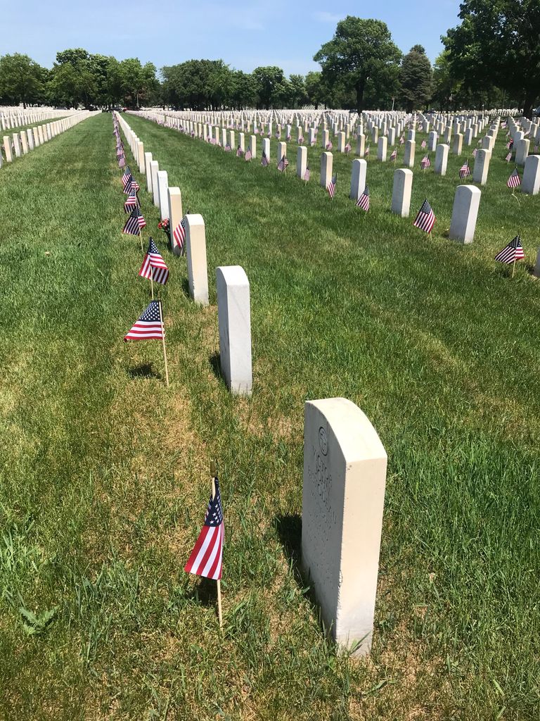
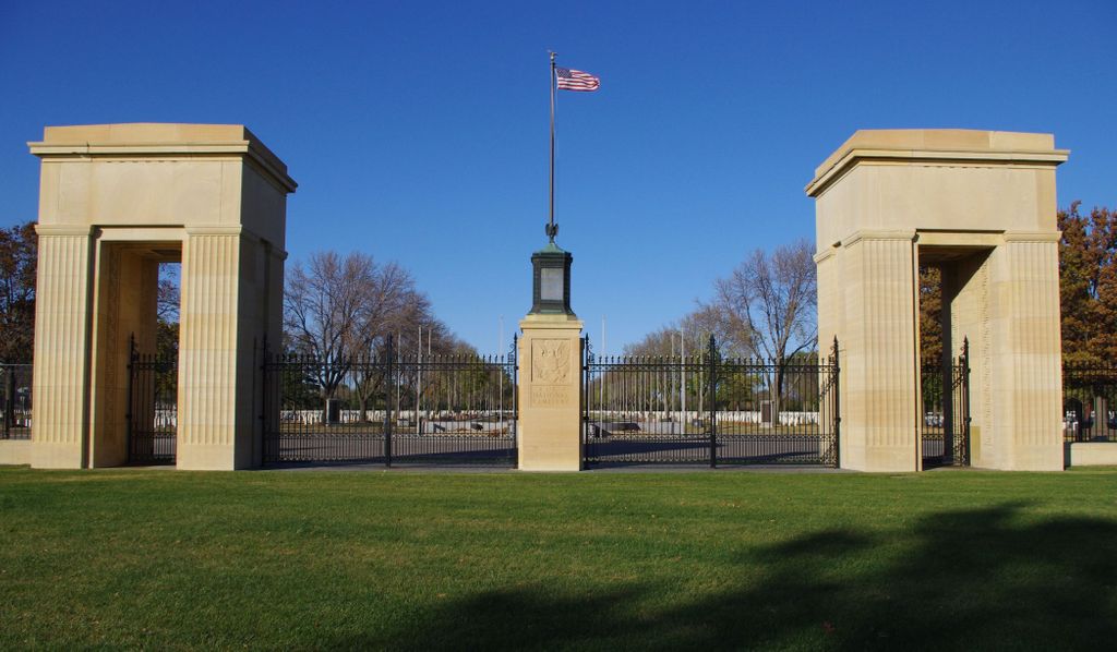
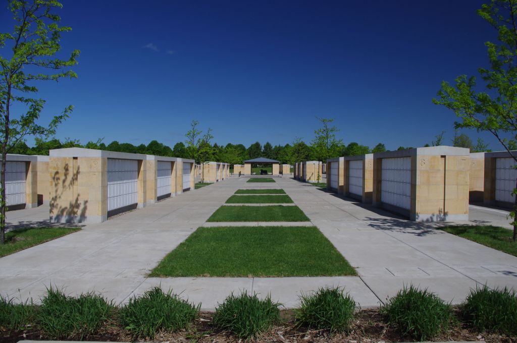
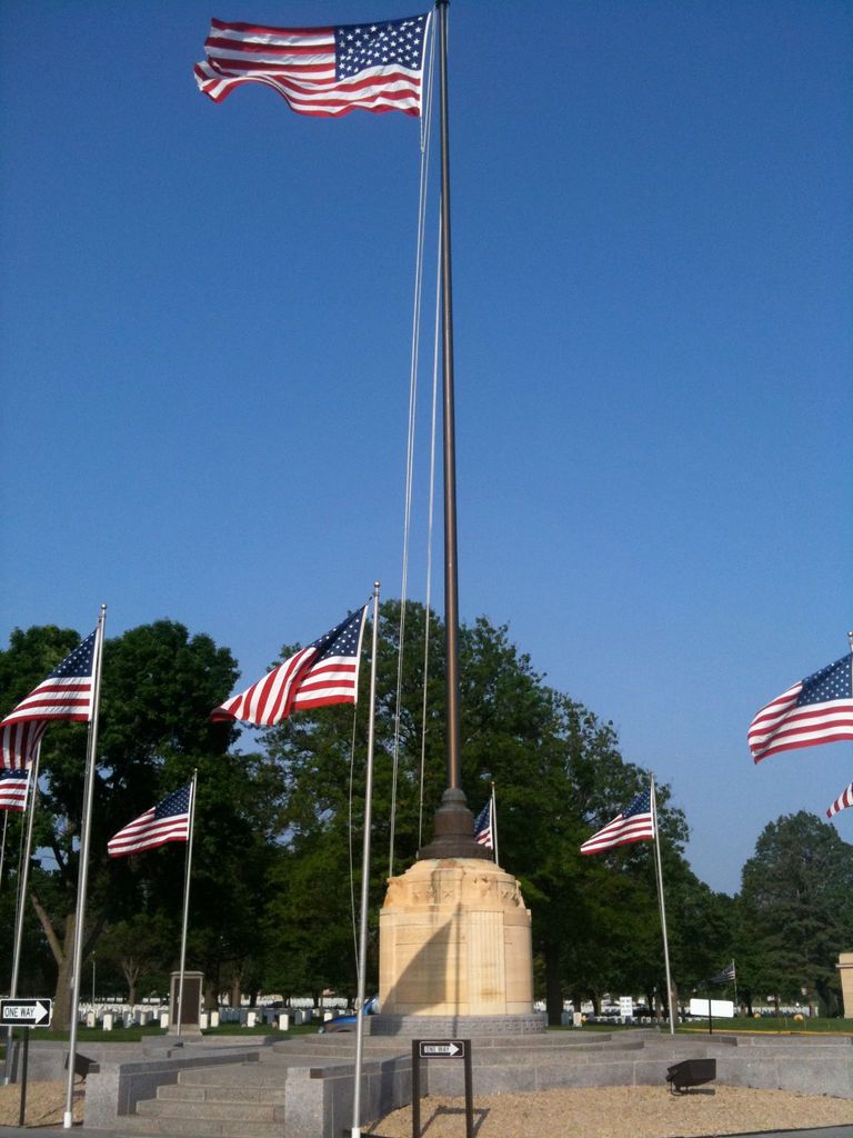
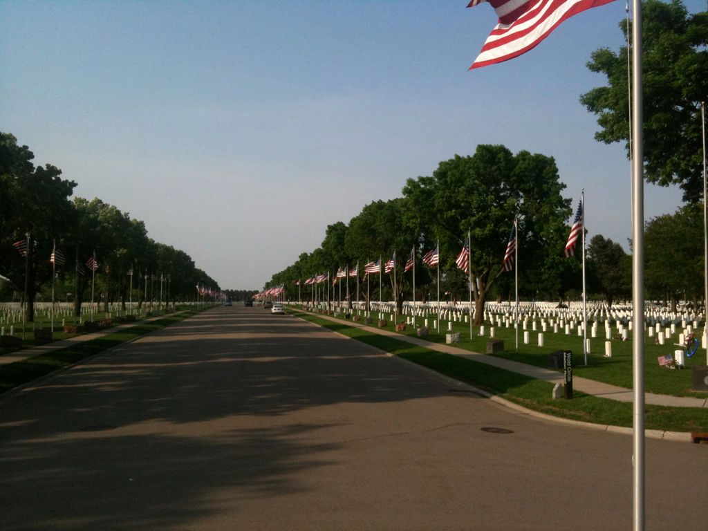
| Description | : | The original Fort Snelling was established in 1805 near the confluence of the Minnesota and Mississippi rivers. However, it was not until 1820 that a permanent post named Fort St. Anthony was constructed under the supervision of Col. Josiah Snelling. Gen. Winfield Scott was so impressed with the conditions at Fort St. Anthony during his first inspection in 1824 that he recommended the installation be renamed Fort Snelling. Its original purpose was to keep peace on the western frontier, but in 1855 as the frontier moved further west, troops were withdrawn from Fort Snelling. With the outbreak of the Civil War,... Read More |
frequently asked questions (FAQ):
-
Where is Fort Snelling National Cemetery?
Fort Snelling National Cemetery is located at 7601 34th Ave. S. Minneapolis, Hennepin County ,Minnesota , 55450USA.
-
Fort Snelling National Cemetery cemetery's updated grave count on graveviews.com?
94 memorials
-
Where are the coordinates of the Fort Snelling National Cemetery?
Latitude: 44.8645935
Longitude: -93.2227631


Nearby Cemetories:
1. Church of The Assumption Catholic Cemetery
Richfield, Hennepin County, USA
Coordinate: 44.8635406, -93.2725677
2. Fort Snelling Memorial Chapel Cemetery
Fort Snelling, Hennepin County, USA
Coordinate: 44.8920708, -93.1846619
3. Acacia Park Cemetery
Mendota Heights, Dakota County, USA
Coordinate: 44.8788986, -93.1710968
4. Pilot Knob Indian Burial Ground
Mendota Heights, Dakota County, USA
Coordinate: 44.8810790, -93.1672870
5. Church of Saint Peter Historic Cemetery
Mendota, Dakota County, USA
Coordinate: 44.8839417, -93.1671906
6. Resurrection Cemetery
Mendota Heights, Dakota County, USA
Coordinate: 44.8767014, -93.1513977
7. Oak Hill Cemetery
Minneapolis, Hennepin County, USA
Coordinate: 44.8950005, -93.2861023
8. Mayflower United Church of Christ Memorial Garden
Minneapolis, Hennepin County, USA
Coordinate: 44.9038990, -93.2760520
9. B'Nai Emet Cemetery
Richfield, Hennepin County, USA
Coordinate: 44.8740510, -93.3085120
10. Gemelus Chesed Cemetery
Richfield, Hennepin County, USA
Coordinate: 44.8752750, -93.3087220
11. Christ Lutheran Church Cemetery
Eagan, Dakota County, USA
Coordinate: 44.8038712, -93.2025681
12. Saint John's Cemetery
Eagan, Dakota County, USA
Coordinate: 44.8050003, -93.1958008
13. Minneapolis Jewish Cemetery
Richfield, Hennepin County, USA
Coordinate: 44.8753014, -93.3099976
14. Saint Mary's Cemetery
Minneapolis, Hennepin County, USA
Coordinate: 44.9229205, -93.2625275
15. United Hebrew Brotherhood Cemetery
Richfield, Hennepin County, USA
Coordinate: 44.8750000, -93.3131027
16. Saint Joan of Arc Memorial Garden
Minneapolis, Hennepin County, USA
Coordinate: 44.9213700, -93.2719500
17. Bloomington Cemetery
Bloomington, Hennepin County, USA
Coordinate: 44.8153000, -93.2893982
18. Trinity Lone Oak Cemetery
Eagan, Dakota County, USA
Coordinate: 44.8503600, -93.1270750
19. Temple Israel Memorial Park
Minneapolis, Hennepin County, USA
Coordinate: 44.9272003, -93.2711029
20. Saint Lukes Episcopal Church Memorial Garden
Minneapolis, Hennepin County, USA
Coordinate: 44.9198300, -93.2917000
21. Oak Grove Presbyterian Church Columbarium
Bloomington, Hennepin County, USA
Coordinate: 44.8194490, -93.3084200
22. Saint Stephen Lutheran Columbarium
Bloomington, Hennepin County, USA
Coordinate: 44.8509380, -93.3297870
23. Adath Yeshurun Cemetery
Edina, Hennepin County, USA
Coordinate: 44.9015007, -93.3283310
24. Saint Marys Episcopal Church Memorial Garden
Saint Paul, Ramsey County, USA
Coordinate: 44.9451999, -93.1805399