
| Memorials | : | 1 |
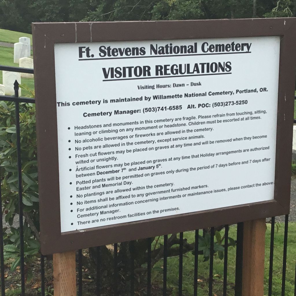
| Location | : | Warrenton, Clatsop County, USA |
| Phone | : | 503-273-5250 |
| Website | : | www.va.gov/directory/guide/facility.asp?id=6528 |
| Coordinate | : | 46.1949997, -123.9597015 |
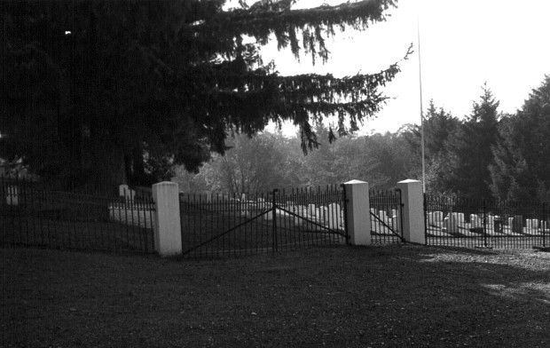
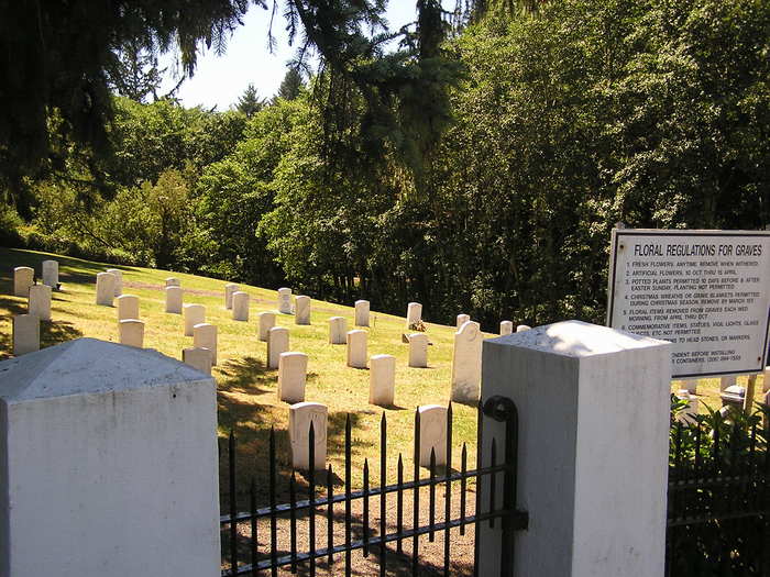
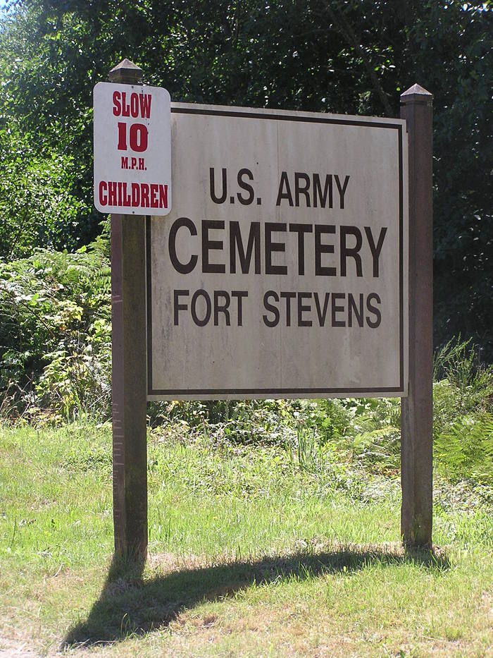
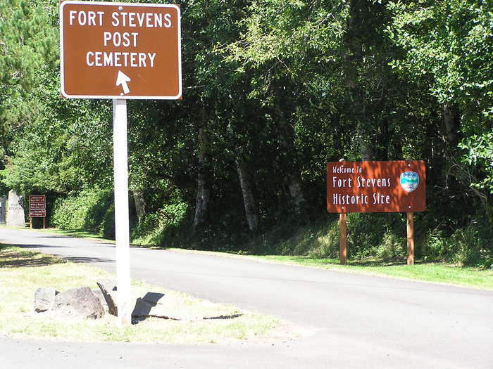
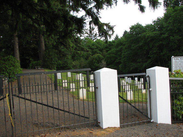
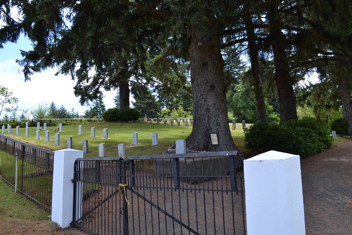
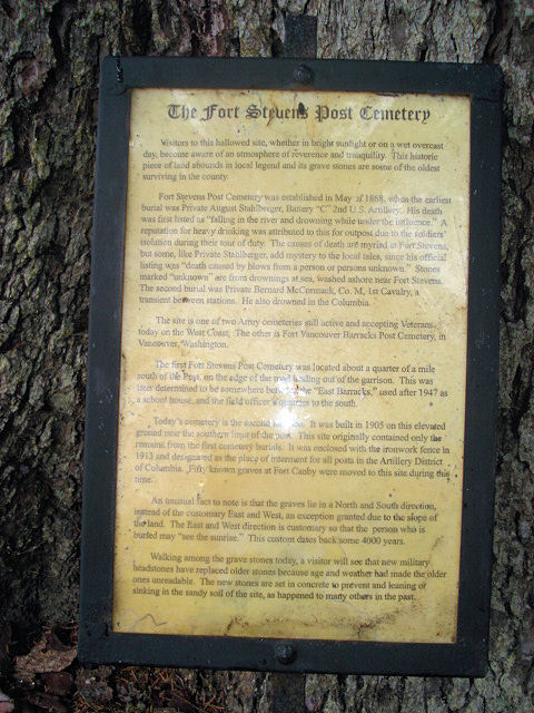
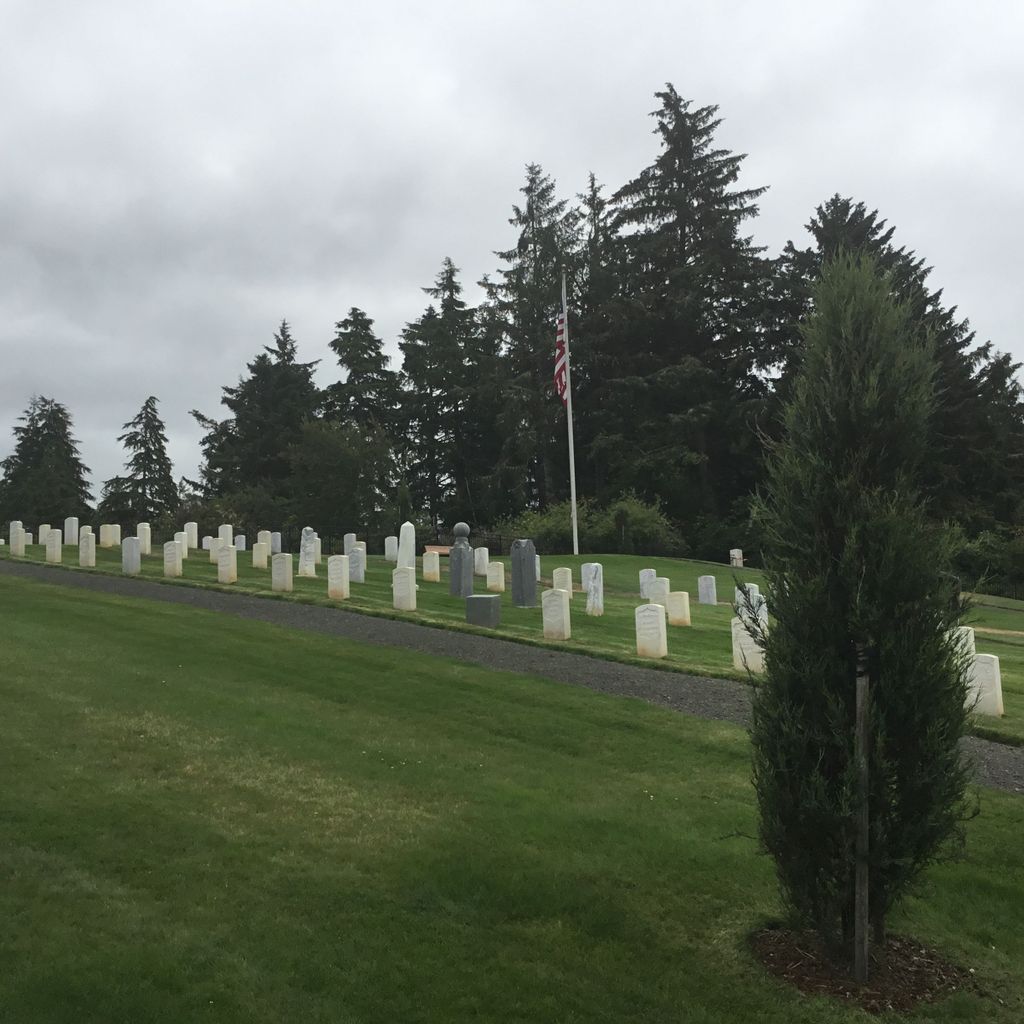
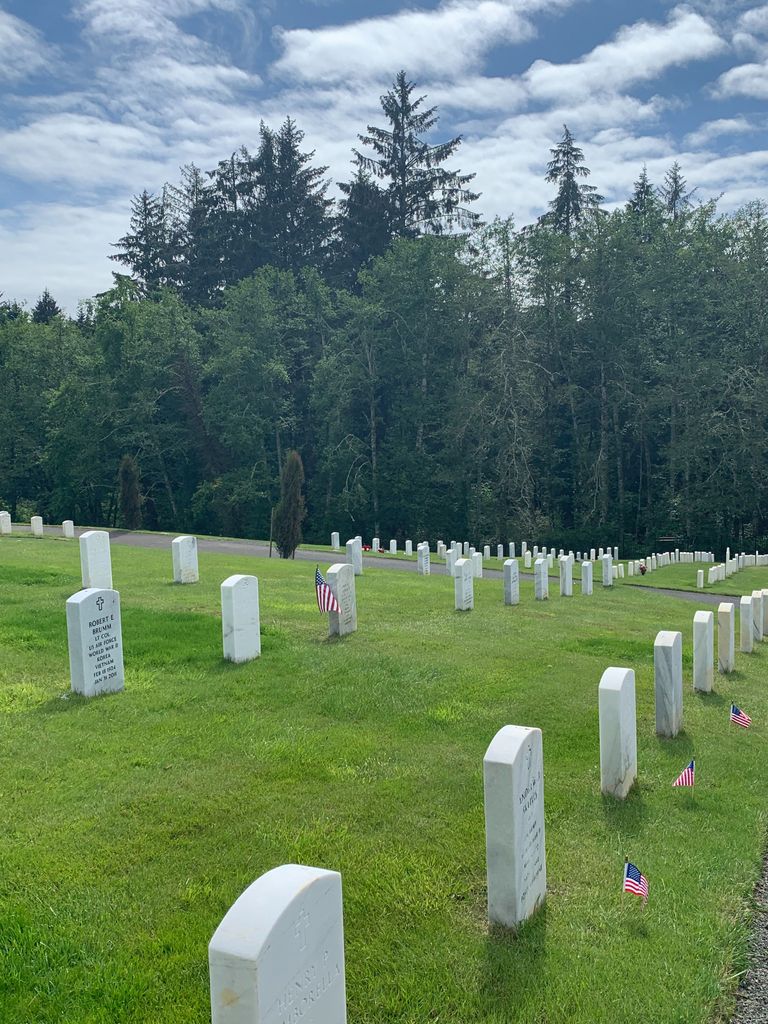
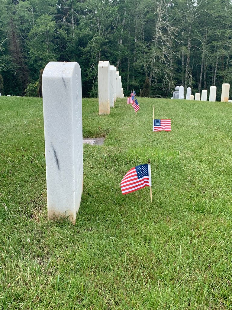
| Description | : | Fort Stevens was an American military installation that guarded the mouth of the Columbia River in the state of Oregon. Built near the end of the American Civil War, it was named for a slain Civil War general and former Washington Territory governor, Isaac Stevens. The fort was an active military reservation from 1863–1947. It is now listed on the National Register of Historic Places. |
frequently asked questions (FAQ):
-
Where is Fort Stevens National Cemetery?
Fort Stevens National Cemetery is located at 1090-1140 Russell Drive Warrenton, Clatsop County ,Oregon , 97121USA.
-
Fort Stevens National Cemetery cemetery's updated grave count on graveviews.com?
1 memorials
-
Where are the coordinates of the Fort Stevens National Cemetery?
Latitude: 46.1949997
Longitude: -123.9597015
Nearby Cemetories:
1. Warrenton Pauper Cemetery
Warrenton, Clatsop County, USA
Coordinate: 46.1572266, -123.9399033
2. Ocean View Cemetery
Warrenton, Clatsop County, USA
Coordinate: 46.1519800, -123.9372400
3. Clatsop Plains Pioneer Cemetery
Warrenton, Clatsop County, USA
Coordinate: 46.1222000, -123.9263992
4. Astoria Pioneer Cemetery
Astoria, Clatsop County, USA
Coordinate: 46.1819000, -123.8264008
5. Lewis and Clark Cemetery
Miles Crossing, Clatsop County, USA
Coordinate: 46.1133800, -123.8541000
6. Greenwood Cemetery
Astoria, Clatsop County, USA
Coordinate: 46.1371994, -123.8028030
7. Ilwaco Cemetery
Ilwaco, Pacific County, USA
Coordinate: 46.3180008, -124.0227966
8. Lone Fir Cemetery
Long Beach, Pacific County, USA
Coordinate: 46.3622017, -124.0175018
9. Indian Place Burial Ground
Seaside, Clatsop County, USA
Coordinate: 46.0152220, -123.9117940
10. Calvary Episcopal Church Columbarium
Seaside, Clatsop County, USA
Coordinate: 45.9978640, -123.9217410
11. Briscoe Family Cemetery
Pacific County, USA
Coordinate: 46.3867690, -124.0541310
12. Peaceful Hill Cemetery
Naselle, Pacific County, USA
Coordinate: 46.3678017, -123.7994003
13. Sailors Gravesite
Seaside, Clatsop County, USA
Coordinate: 45.9767000, -123.9364500
14. Forest Hill Cemetery
Svensen, Clatsop County, USA
Coordinate: 46.1591988, -123.6472015
15. Evergreen Cemetery
Seaside, Clatsop County, USA
Coordinate: 45.9655991, -123.9119034
16. Salmon Creek Cemetery Old
Wahkiakum County, USA
Coordinate: 46.3578630, -123.7178340
17. Salmon Creek Cemetery
Deep River, Wahkiakum County, USA
Coordinate: 46.3634000, -123.7164000
18. Seal River Cemetery
Rosburg, Wahkiakum County, USA
Coordinate: 46.3329210, -123.6600870
19. Deep River Cemetery
Deep River, Wahkiakum County, USA
Coordinate: 46.3587910, -123.6849890
20. Grays River Old Cemetery
Rosburg, Wahkiakum County, USA
Coordinate: 46.3210130, -123.6440080
21. Eden Valley Cemetery
Eden, Wahkiakum County, USA
Coordinate: 46.3018270, -123.6254030
22. Eternity By The Sea Columbarium
Tillamook, Tillamook County, USA
Coordinate: 45.9372400, -124.0190500
23. Rosburg Cemetery
Wahkiakum County, USA
Coordinate: 46.3348000, -123.6400000
24. Knappa Prairie Cemetery
Knappa, Clatsop County, USA
Coordinate: 46.1741982, -123.5824966