
| Memorials | : | 0 |
| Location | : | Dana, Worcester County, USA |
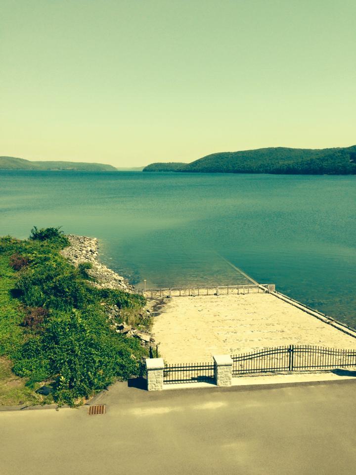
| Description | : | The town of Dana was flooded to create the Quabbin Reservoir. All 7,613 burials in the watershed were exhumed and 6,601 were removed to Quabbin Park Cemetery in 1938. The remaining 1,012 burials went to other cemeteries. The land that remains from Dana now is part of Petersham in Worcester County. Vital Records for Dana are held by the Commonwealth Contact: Quabbin Visitor Center 485 Ware Road Belchertown, MA 01007 (413)323-7221 The New Salem Historical Society on Rte 202 also holds a wealth of information about the towns now under the Quabbin. |
frequently asked questions (FAQ):
-
Where is Frank Demar's Gravesite (Defunct)?
Frank Demar's Gravesite (Defunct) is located at Dana, Worcester County, USA.
-
Frank Demar's Gravesite (Defunct) cemetery's updated grave count on graveviews.com?
0 memorials
Nearby Cemetories:
1. Brookfield Cemetery
Brookfield, Worcester County, USA
Coordinate: 42.1143200, -71.8641500
2. Bellevue Cemetery
Harvard, Worcester County, USA
Coordinate: 42.1397640, -71.8707990
3. Captain Benjamin Stewart Gravesite
Harvard, Worcester County, USA
Coordinate: 42.1386414, -71.8640518
4. Harvard Center Cemetery
Harvard, Worcester County, USA
Coordinate: 42.1212100, -71.8664200
5. Saint Benedict Center Cemetery
Harvard, Worcester County, USA
Coordinate: 42.4377000, -71.7555400
6. Shaker Burying Ground
Harvard, Worcester County, USA
Coordinate: 42.4108500, -71.7734800
7. Evergreen Cemetery
Leominster, Worcester County, USA
Coordinate: 42.4152600, -71.7320000
8. Pine Grove Cemetery
Leominster, Worcester County, USA
Coordinate: 42.4410000, -71.7492570
9. Saint Cecilias Cemetery
Leominster, Worcester County, USA
Coordinate: 42.4070020, -71.7986150
10. Saint Leo Cemetery
Leominster, Worcester County, USA
Coordinate: 42.4417000, -71.7493973
11. Clark-Cudworth Family Burial Ground
Oxford, Worcester County, USA
Coordinate: 42.4514100, -71.7651400
12. Gore Cemetery
Oxford, Worcester County, USA
Coordinate: 42.0428009, -71.5971985
13. Grace Episcopal Church Cemetery
Oxford, Worcester County, USA
Coordinate: 42.1143200, -71.8641500
14. North Cemetery
Oxford, Worcester County, USA
Coordinate: 42.1397640, -71.8707990
15. Saint Rochs Cemetery
Oxford, Worcester County, USA
Coordinate: 42.1386414, -71.8640518
16. South Cemetery
Oxford, Worcester County, USA
Coordinate: 42.1212100, -71.8664200
17. Chocksett Burial Ground
Sterling, Worcester County, USA
Coordinate: 42.4377000, -71.7555400
18. Cookshire Cemetery
Sterling, Worcester County, USA
Coordinate: 42.4108500, -71.7734800
19. Fairbank Burial Ground
Sterling, Worcester County, USA
Coordinate: 42.4152600, -71.7320000
20. Hillside Cemetery
Sterling, Worcester County, USA
Coordinate: 42.4410000, -71.7492570
21. Legg Cemetery
Sterling, Worcester County, USA
Coordinate: 42.4070020, -71.7986150
22. Oak Hill Cemetery
Sterling, Worcester County, USA
Coordinate: 42.4417000, -71.7493973
23. West Cemetery
Sterling, Worcester County, USA
Coordinate: 42.4514100, -71.7651400
24. Albee Cemetery
Uxbridge, Worcester County, USA
Coordinate: 42.0428009, -71.5971985