| Memorials | : | 42 |
| Location | : | Franklin, Crawford County, USA |
| Coordinate | : | 37.5135200, -94.7066500 |
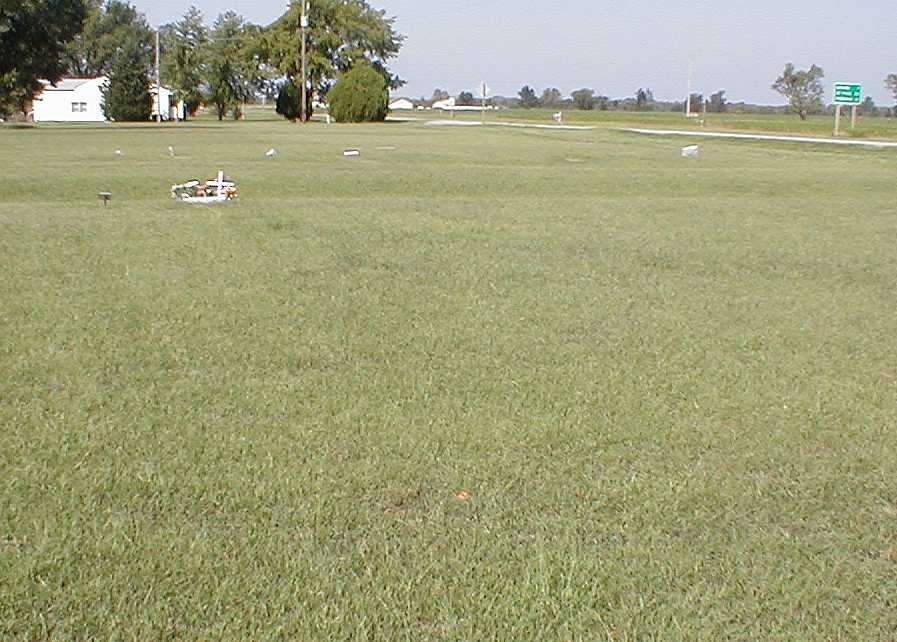
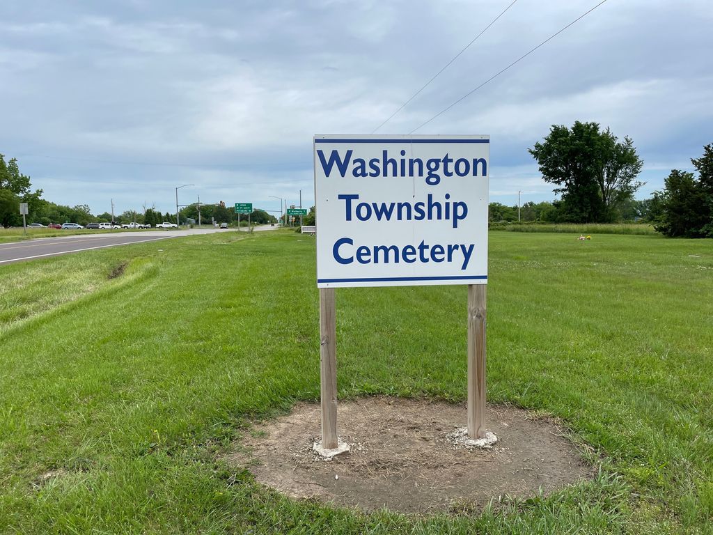
| Description | : | This is a newer cemetery that is located at the intersection of Highway 47 and Highway 69 at Franklin, Ks. It is a small distance north of Garden of Memories Cemetery. A county poor farm operated just west of this cemetery as early as 1900 and the oldest eight or nine graves along the eastern edge were likely residents of the county farm. In 1918 the trustees of Washington Township deeded a larger area to the west and south "to the Public". After this time the cemetery was known as Washington Township Cemetery and later still, Franklin Cemetery. |
frequently asked questions (FAQ):
-
Where is Franklin Cemetery?
Franklin Cemetery is located at Franklin, Crawford County ,Kansas ,USA.
-
Franklin Cemetery cemetery's updated grave count on graveviews.com?
42 memorials
-
Where are the coordinates of the Franklin Cemetery?
Latitude: 37.5135200
Longitude: -94.7066500
Nearby Cemetories:
1. Garden of Memories Cemetery
Washington Township, Crawford County, USA
Coordinate: 37.5078011, -94.7063980
2. Shirley Cemetery
Frontenac, Crawford County, USA
Coordinate: 37.4768930, -94.7047340
3. Lone Star Cemetery
Frontenac, Crawford County, USA
Coordinate: 37.4768982, -94.7043991
4. Smilie Cemetery
Mulberry, Crawford County, USA
Coordinate: 37.5503006, -94.6492004
5. Union Center Cemetery
Crawford County, USA
Coordinate: 37.5292015, -94.7778015
6. Mount Carmel Cemetery
Frontenac, Crawford County, USA
Coordinate: 37.4552994, -94.6789017
7. Frontenac Cemetery
Frontenac, Crawford County, USA
Coordinate: 37.4542007, -94.6766968
8. Englevale Cemetery
Englevale, Crawford County, USA
Coordinate: 37.5861015, -94.7322006
9. Yale Cemetery
Mindenmines, Barton County, USA
Coordinate: 37.4836900, -94.6155000
10. Rosebank Cemetery
Mulberry, Crawford County, USA
Coordinate: 37.5518990, -94.6194000
11. Dietz Cemetery
Pittsburg, Crawford County, USA
Coordinate: 37.4180984, -94.7375031
12. Mindenmines Cemetery
Mindenmines, Barton County, USA
Coordinate: 37.4639381, -94.5913460
13. Beulah Cemetery
Beulah, Crawford County, USA
Coordinate: 37.4397011, -94.8153000
14. McGonigle Cemetery
Cato, Crawford County, USA
Coordinate: 37.6264000, -94.7305984
15. Girard Cemetery
Girard, Crawford County, USA
Coordinate: 37.5005989, -94.8533020
16. Mount Olive Cemetery
Pittsburg, Crawford County, USA
Coordinate: 37.3944016, -94.6971970
17. Rowe Cemetery
Pittsburg, Crawford County, USA
Coordinate: 37.4018010, -94.6503930
18. Beecher-Hammond Cemetery
Pittsburg, Crawford County, USA
Coordinate: 37.3936600, -94.7253500
19. Zion Lutheran Cemetery
Pittsburg, Crawford County, USA
Coordinate: 37.3927994, -94.6857986
20. West Union Cemetery
Chicopee, Crawford County, USA
Coordinate: 37.4036500, -94.7781800
21. Timmons Chapel Columbarium
Pittsburg, Crawford County, USA
Coordinate: 37.3898300, -94.6993800
22. Pleasant Valley Cemetery
Arcadia, Crawford County, USA
Coordinate: 37.6302480, -94.6481540
23. Highland Park Cemetery
Pittsburg, Crawford County, USA
Coordinate: 37.3853330, -94.7040260
24. Saint Marys Catholic Cemetery
Pittsburg, Crawford County, USA
Coordinate: 37.3819570, -94.7047020


