
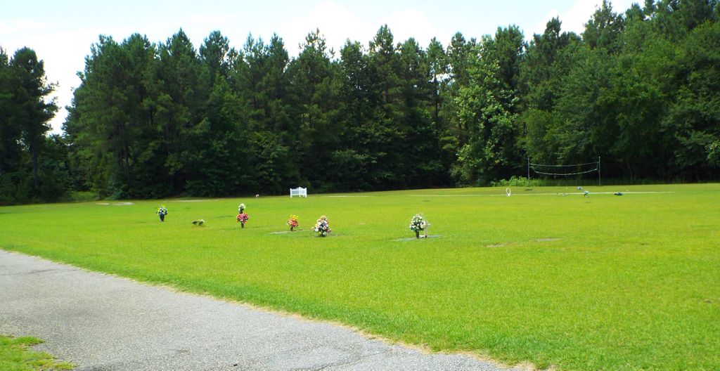
| Memorials | : | 0 |
| Location | : | Carters Crossroads, Georgetown County, USA |
| Coordinate | : | 33.6566000, -79.3066200 |
frequently asked questions (FAQ):
-
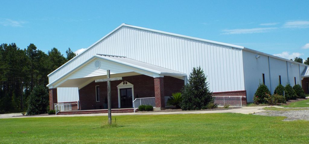
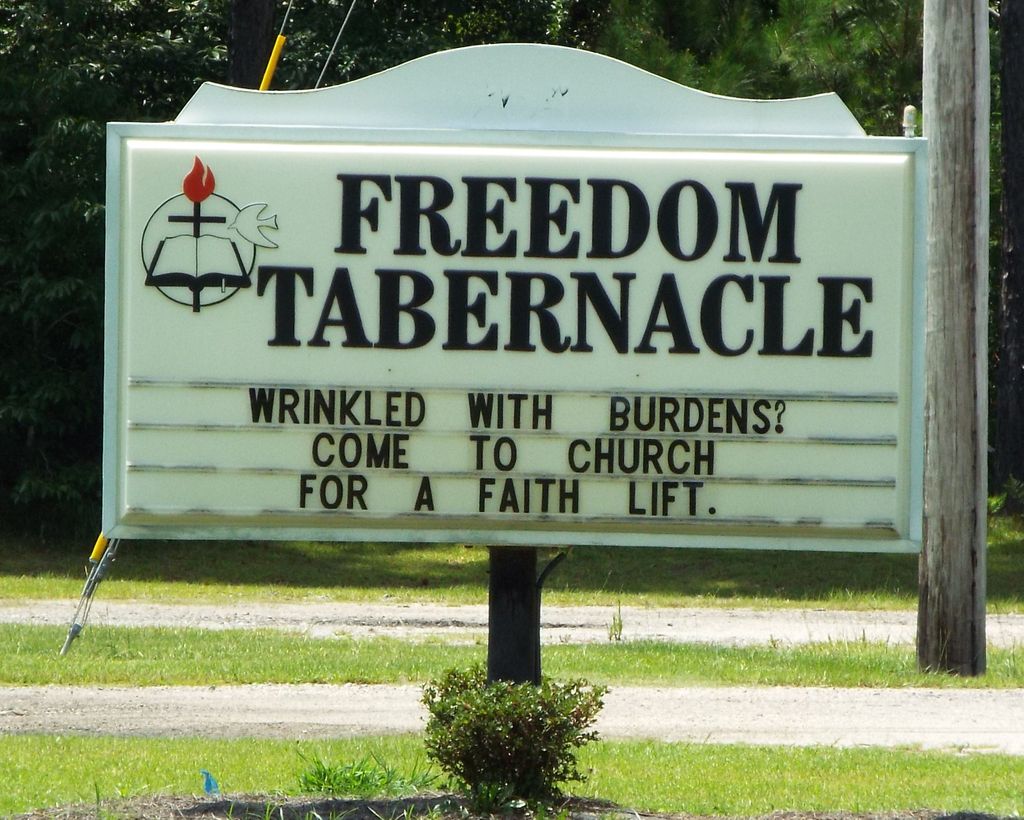
Where is Freedom Tabernacle Full Gospel Church Cemetery?
Freedom Tabernacle Full Gospel Church Cemetery is located at 264 Roy Dr. Carters Crossroads, Georgetown County ,South Carolina , 29554USA.
-
Freedom Tabernacle Full Gospel Church Cemetery cemetery's updated grave count on graveviews.com?
0 memorials
-
Where are the coordinates of the Freedom Tabernacle Full Gospel Church Cemetery?
Latitude: 33.6566000
Longitude: -79.3066200
Nearby Cemetories:
1. Good Hope Methodist Church Cemetery
Good Hope, Georgetown County, USA
Coordinate: 33.6553955, -79.3049316
2. Elliott Family Cemetery
Carters Crossroads, Georgetown County, USA
Coordinate: 33.6738700, -79.3120600
3. Goude Cemetery
Good Hope, Georgetown County, USA
Coordinate: 33.6760560, -79.2939720
4. Mount Zion Baptist Church Cemetery
Georgetown County, USA
Coordinate: 33.6258200, -79.3139000
5. Hucksfield Cemetery
Georgetown County, USA
Coordinate: 33.6414200, -79.2669100
6. Center Baptist Church Cemetery
Georgetown County, USA
Coordinate: 33.6928900, -79.3175500
7. New Zion Pentecostal Holiness Church Cemetery
Georgetown, Georgetown County, USA
Coordinate: 33.6222700, -79.3481600
8. Walker's Chapel Free Will Baptist Church Cemetery
Georgetown County, USA
Coordinate: 33.6958790, -79.3426910
9. Bryant Family Cemetery
Yauhannah, Georgetown County, USA
Coordinate: 33.6624870, -79.2428130
10. Deep Creek Cemetery
Pleasant Hill, Georgetown County, USA
Coordinate: 33.6982830, -79.3492830
11. Pleasant Hill Baptist Cemetery
Georgetown County, USA
Coordinate: 33.6799740, -79.3662670
12. Williams Hill FWB Cemetery
Midway Crossroads, Georgetown County, USA
Coordinate: 33.7230190, -79.3161392
13. Central Missionary Baptist Church
Williamsburg County, USA
Coordinate: 33.5901100, -79.3175900
14. John Cribb Family Cemetery
Pleasant Hill, Georgetown County, USA
Coordinate: 33.6546380, -79.3913270
15. Sandhill United American F W B Church Cemetery
Georgetown County, USA
Coordinate: 33.6684757, -79.2214492
16. Baha'i Cemetery
Georgetown County, USA
Coordinate: 33.7243400, -79.3369160
17. Saint Matthew's Churchyard
Georgetown County, USA
Coordinate: 33.6547290, -79.4007740
18. Cribb-Burrows Cemetery
Pleasant Hill, Georgetown County, USA
Coordinate: 33.6615360, -79.4033380
19. Pee Dee Baptist Church Cemetery
Pleasant Hill, Georgetown County, USA
Coordinate: 33.7372200, -79.3096900
20. Pee Dee Baptist church
Hemingway, Williamsburg County, USA
Coordinate: 33.7373730, -79.3086900
21. Saint James Holiness Church Cemetery
Pleasant Hill, Georgetown County, USA
Coordinate: 33.6570100, -79.4070900
22. Outland Church of God Cemetery
Georgetown County, USA
Coordinate: 33.7245220, -79.3691070
23. HOPEWELL AME CHURCH
Hemingway, Williamsburg County, USA
Coordinate: 33.6712580, -79.4141630
24. Lowrimore Plot
Georgetown County, USA
Coordinate: 33.7456390, -79.3323100