
| Memorials | : | 0 |
| Location | : | Neukölln, Neukölln, Germany |
| Phone | : | 030 / 627 09 720 |
| Coordinate | : | 52.4850960, 13.4250841 |
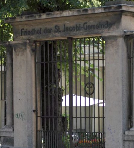
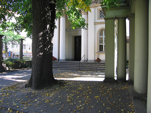
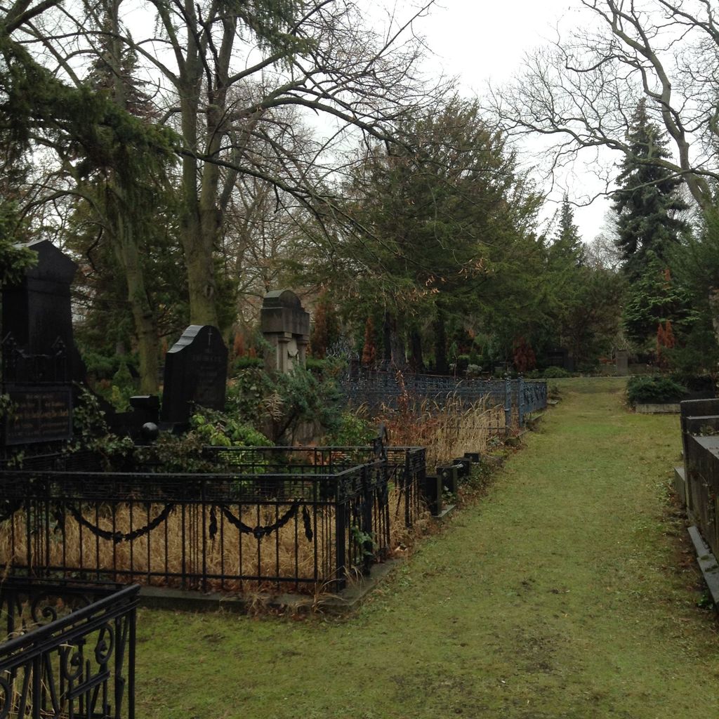
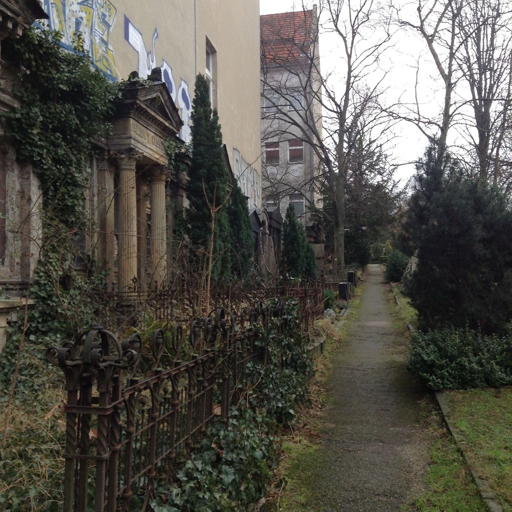
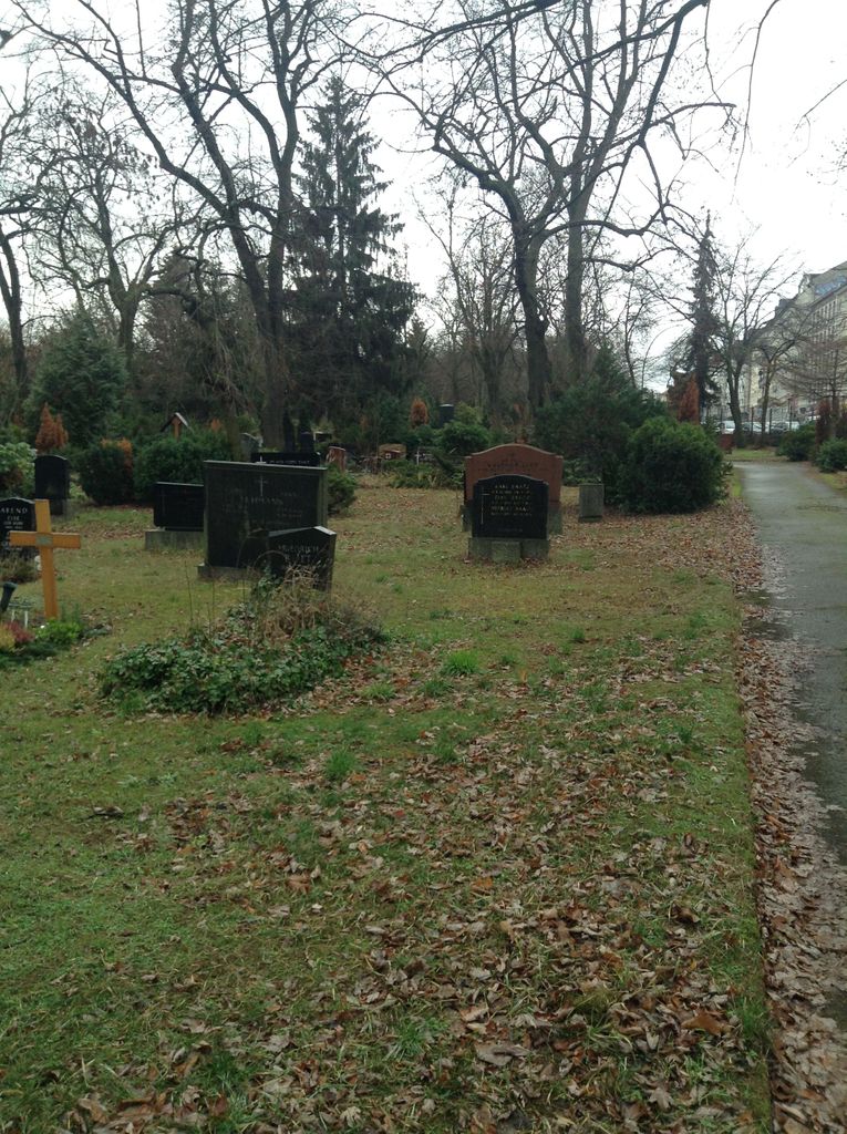
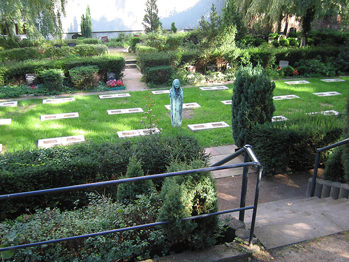
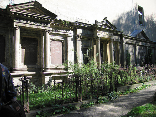
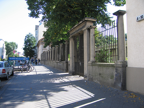
| Description | : | Old cemetery of the St. Jacobi-Congregation in Berlin-Neukölln. Founded in 1852. Also known as St.-Jacobi-Kirchhof I. The cemetery is situated on the bottom of the Rollberg, nestled between apartment buildings. The main entrance is at Karl-Marx-Strasse right next to the entrance to a subway station. The backside of the cemetery borders the Hermannstrasse. The area covers about 40,908 m² or 10.2 acres. The chapel was designed by Reinhold Kiehl between 1911 and 1912. Kiehl's honorary grave can also be found on this cemetery. There are many family plots along the Eastern wall of the cemetery, and also a small... Read More |
frequently asked questions (FAQ):
-
Where is Friedhof der St. Jacobi-Gemeinde?
Friedhof der St. Jacobi-Gemeinde is located at Karl-Marx-Strasse 4-10 Neukölln, Neukölln ,Berlin , 12043Germany.
-
Friedhof der St. Jacobi-Gemeinde cemetery's updated grave count on graveviews.com?
0 memorials
-
Where are the coordinates of the Friedhof der St. Jacobi-Gemeinde?
Latitude: 52.4850960
Longitude: 13.4250841
Nearby Cemetories:
1. Standortfriedhof Lilienthalstrasse
Neukölln, Neukölln, Germany
Coordinate: 52.4861794, 13.4087706
2. Hasenheide Garrison Cemetery
Neukölln, Neukölln, Germany
Coordinate: 52.4822840, 13.4089780
3. Friedhof am Columbiadamm
Neukölln, Neukölln, Germany
Coordinate: 52.4820800, 13.4088900
4. Türkischer Friedhof
Neukölln, Neukölln, Germany
Coordinate: 52.4817162, 13.4089956
5. Alter St. Michael-Friedhof
Neukölln, Neukölln, Germany
Coordinate: 52.4743767, 13.4294987
6. Neuer Luisenstadt-Friedhof
Neukölln, Neukölln, Germany
Coordinate: 52.4736366, 13.4303684
7. Luisenstädtischer Friedhof I
Kreuzberg, Friedrichshain-Kreuzberg, Germany
Coordinate: 52.4872500, 13.4057900
8. St. Thomas Friedhof I
Neukölln, Neukölln, Germany
Coordinate: 52.4726372, 13.4299707
9. Kirchhof Jerusalem und Neue Kirche IV
Kreuzberg, Friedrichshain-Kreuzberg, Germany
Coordinate: 52.4867973, 13.4040394
10. St. Thomas Friedhof II
Neukölln, Neukölln, Germany
Coordinate: 52.4720900, 13.4251200
11. Friedrichswerderscher Friedhof
Kreuzberg, Friedrichshain-Kreuzberg, Germany
Coordinate: 52.4883728, 13.4035349
12. Kirchhof Jerusalem und Neue Kirche V
Neukölln, Neukölln, Germany
Coordinate: 52.4711494, 13.4269667
13. Böhmischer Gottesacker
Neukölln, Neukölln, Germany
Coordinate: 52.4732170, 13.4417944
14. Friedhof II der St. Jacobi-Gemeinde
Neukölln, Neukölln, Germany
Coordinate: 52.4688225, 13.4256792
15. Dreifaltigkeitsfriedhof II
Kreuzberg, Friedrichshain-Kreuzberg, Germany
Coordinate: 52.4883200, 13.3983000
16. Werner Seelenbinder Sportpark
Neukölln, Neukölln, Germany
Coordinate: 52.4685500, 13.4186920
17. Magdalenenfriedhof
Neukölln, Neukölln, Germany
Coordinate: 52.4715538, 13.4420080
18. Kirchhof Jerusalem und Neue Kirche I
Kreuzberg, Friedrichshain-Kreuzberg, Germany
Coordinate: 52.4942780, 13.3940080
19. Kirchhof Jerusalem und Neue Kirche II
Kreuzberg, Friedrichshain-Kreuzberg, Germany
Coordinate: 52.4948830, 13.3943830
20. Dreifaltigkeitsfriedhof I
Kreuzberg, Friedrichshain-Kreuzberg, Germany
Coordinate: 52.4948600, 13.3929700
21. Emmaus Friedhof
Britz, Neukölln, Germany
Coordinate: 52.4629135, 13.4285975
22. Friedhof der Herrnhuter Brüdergemeinde
Kreuzberg, Friedrichshain-Kreuzberg, Germany
Coordinate: 52.4959717, 13.3928490
23. Friedhof der Bethlehems- oder Böhmischen Gemeinde
Kreuzberg, Friedrichshain-Kreuzberg, Germany
Coordinate: 52.4956474, 13.3918667
24. Kirchhof Jerusalem und Neue Kirche III
Kreuzberg, Friedrichshain-Kreuzberg, Germany
Coordinate: 52.4948180, 13.3895870