
| Memorials | : | 0 |
| Location | : | Zwerenberg, Landkreis Calw, Germany |
| Coordinate | : | 48.6352329, 8.5953890 |
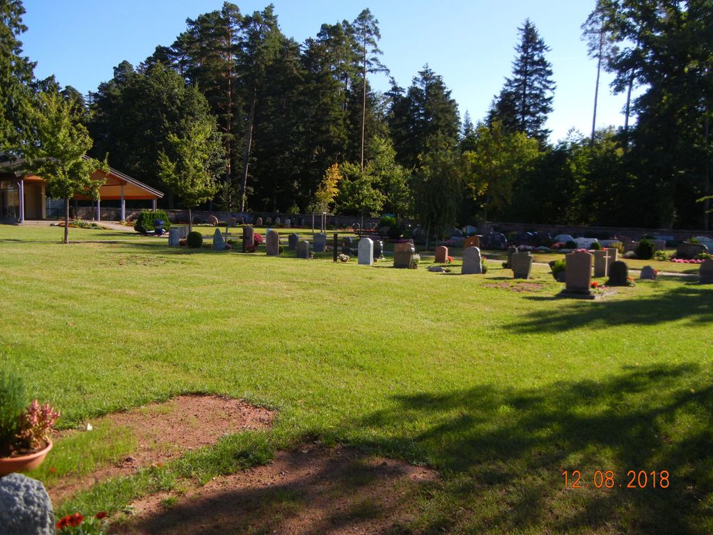
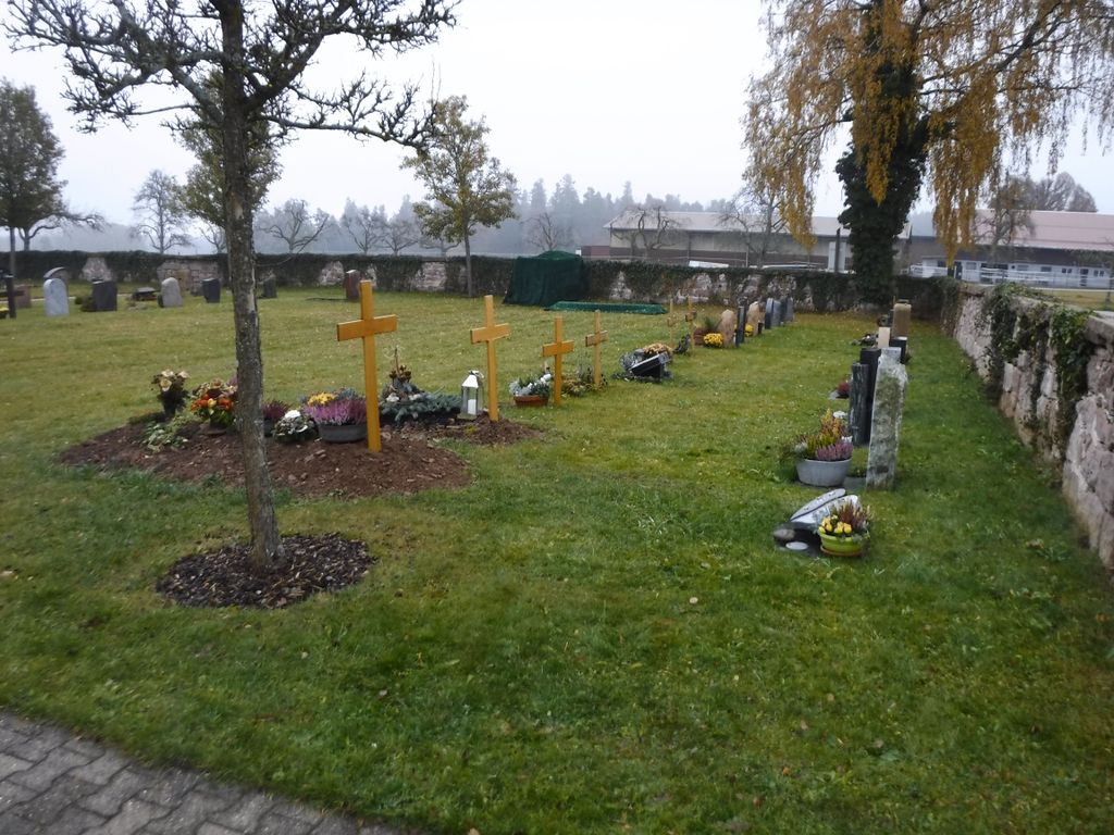
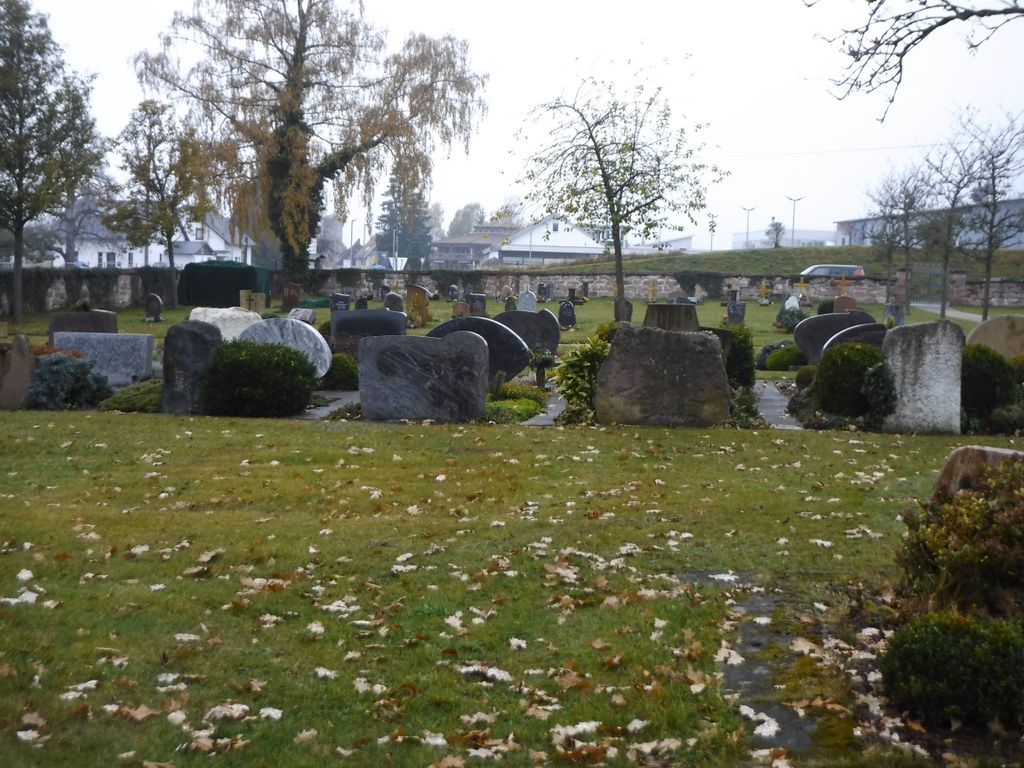
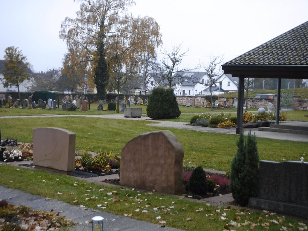
| Description | : | Friedhof für die Ortsteile Gaugenwald und Zwerenberg der Gemeinde Neuweiler. Ein quadratischer, ebener Friedhof beim Gewerbegebiet am östlichen Ortsrand. Fläche ca. 0,3 Hektar. Cemetery for the districts Gaugenwald und Zwerenberg in the commune Neuweiler. A square flat cemetery at the edge of town with a few trees next to industry. Area about 0.3 hectares. |
frequently asked questions (FAQ):
-
Where is Friedhof Gaugenwald Zwerenberg?
Friedhof Gaugenwald Zwerenberg is located at Aischbach 4 Zwerenberg, Landkreis Calw ,Baden-Württemberg , 75389Germany.
-
Friedhof Gaugenwald Zwerenberg cemetery's updated grave count on graveviews.com?
0 memorials
-
Where are the coordinates of the Friedhof Gaugenwald Zwerenberg?
Latitude: 48.6352329
Longitude: 8.5953890
Nearby Cemetories:
1. Friedhof Hornberg
Hornberg, Landkreis Calw, Germany
Coordinate: 48.6236882, 8.5767553
2. Friedhof Neuweiler
Neuweiler, Landkreis Calw, Germany
Coordinate: 48.6533000, 8.5996700
3. Friedhof Martinsmoos
Martinsmoos, Landkreis Calw, Germany
Coordinate: 48.6412920, 8.6336065
4. Friedhof Berneck
Berneck, Landkreis Calw, Germany
Coordinate: 48.6067690, 8.6140980
5. Friedhof Wart
Wart, Landkreis Calw, Germany
Coordinate: 48.6212797, 8.6443090
6. Friedhof Ettmannsweiler
Ettmannsweiler, Landkreis Calw, Germany
Coordinate: 48.6143752, 8.5516850
7. Friedhof Aichhalden Oberweiler
Aichhalden, Landkreis Calw, Germany
Coordinate: 48.6412700, 8.5405750
8. Friedhof Breitenberg
Breitenberg, Landkreis Calw, Germany
Coordinate: 48.6687080, 8.6335910
9. Kriegerdenkmal Breitenberg
Breitenberg, Landkreis Calw, Germany
Coordinate: 48.6681570, 8.6358010
10. Friedhof Altensteigdorf
Altensteigdorf, Landkreis Calw, Germany
Coordinate: 48.5936552, 8.6133782
11. Friedhof Oberkollwangen
Oberkollwangen, Landkreis Calw, Germany
Coordinate: 48.6777332, 8.6247482
12. Alter Friedhof Altensteig
Altensteig, Landkreis Calw, Germany
Coordinate: 48.5882800, 8.6037800
13. Friedhof Wenden
Wenden, Landkreis Calw, Germany
Coordinate: 48.6206200, 8.6654934
14. Friedhof Simmersfeld
Simmersfeld, Landkreis Calw, Germany
Coordinate: 48.6206021, 8.5225566
15. Friedhof Ebershardt
Ebershardt, Landkreis Calw, Germany
Coordinate: 48.6082614, 8.6599317
16. Friedhof Beuren
Beuren, Landkreis Calw, Germany
Coordinate: 48.5979615, 8.5428946
17. Friedhof Hünerberg
Hünerberg, Landkreis Calw, Germany
Coordinate: 48.6745210, 8.5455630
18. Waldfriedhof Altensteig
Altensteig, Landkreis Calw, Germany
Coordinate: 48.5829700, 8.6174100
19. Friedhof Aichelberg
Aichelberg, Landkreis Calw, Germany
Coordinate: 48.6643266, 8.5215422
20. Friedhof Agenbach
Agenbach, Landkreis Calw, Germany
Coordinate: 48.6926279, 8.5848604
21. Friedhof Oberhaugstett
Oberhaugstett, Landkreis Calw, Germany
Coordinate: 48.6572561, 8.6782932
22. Friedhof Schmieh
Schmieh, Landkreis Calw, Germany
Coordinate: 48.6837520, 8.6526770
23. Friedhof Grömbach
Grömbach, Landkreis Freudenstadt, Germany
Coordinate: 48.5752790, 8.5542486
24. Friedhof Fünfbronn
Fünfbronn, Landkreis Calw, Germany
Coordinate: 48.6113262, 8.4994350