
| Memorials | : | 0 |
| Location | : | Kaltbrunn, Landkreis Rottweil, Germany |
| Coordinate | : | 48.3495427, 8.3497957 |
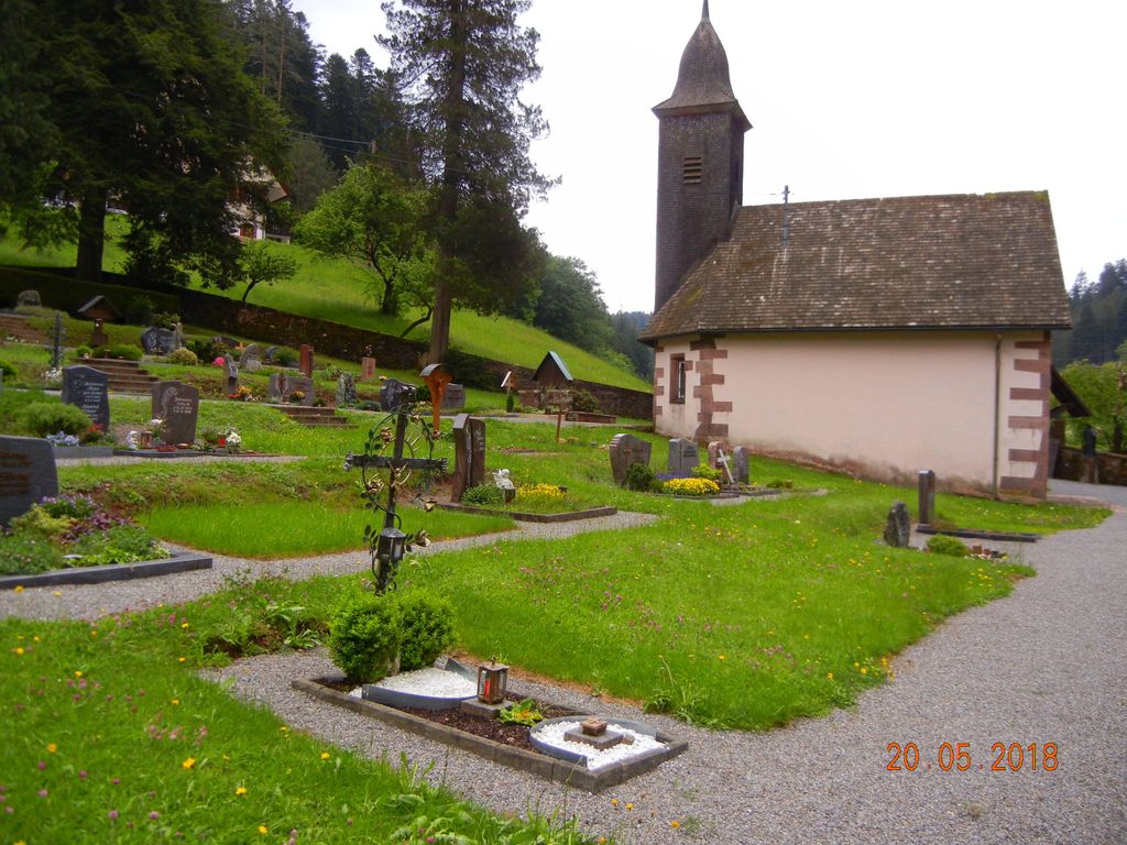
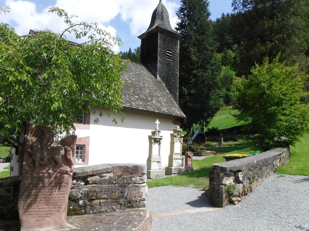
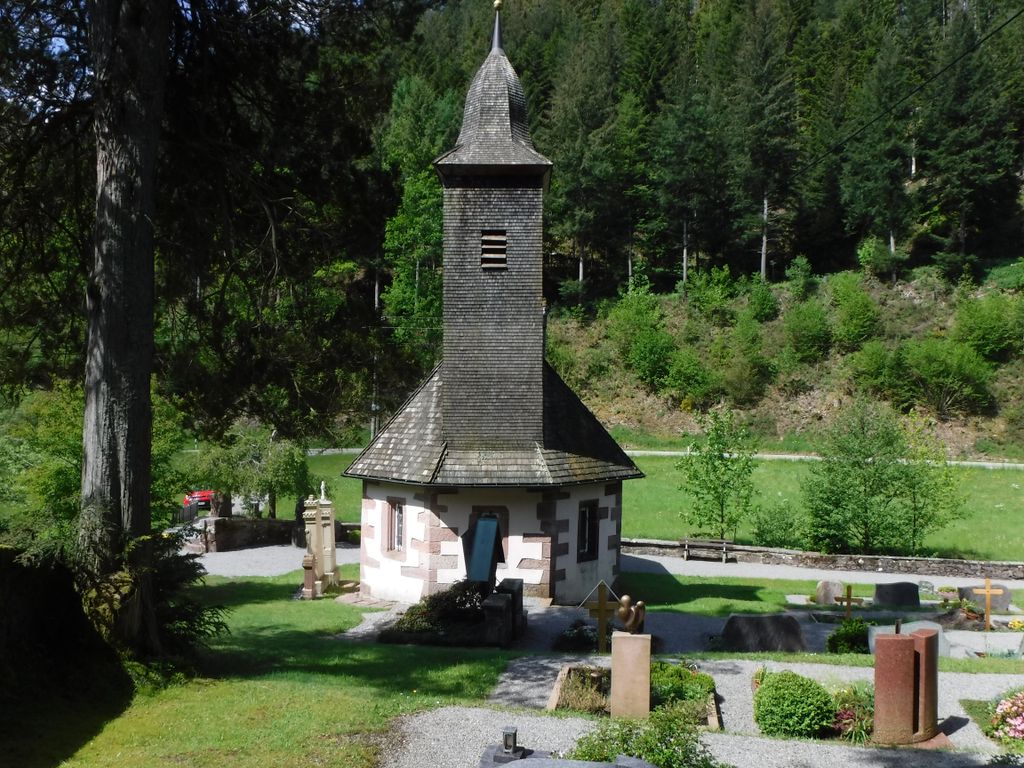
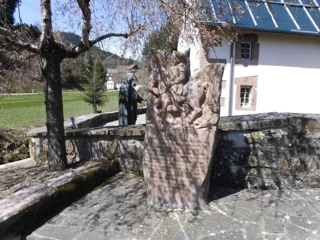
| Description | : | The smallest cemetery we have ever visited and includes a chapel. Situated towards the end of the valley next to a river |
frequently asked questions (FAQ):
-
Where is Friedhof Kaltbrunn?
Friedhof Kaltbrunn is located at Rushofweg Kaltbrunn, Landkreis Rottweil ,Baden-Württemberg , 77773Germany.
-
Friedhof Kaltbrunn cemetery's updated grave count on graveviews.com?
0 memorials
-
Where are the coordinates of the Friedhof Kaltbrunn?
Latitude: 48.3495427
Longitude: 8.3497957
Nearby Cemetories:
1. Friedhof Reinerzau
Reinerzau, Landkreis Freudenstadt, Germany
Coordinate: 48.3565499, 8.3713356
2. Friedwald Schenkenzell
Schenkenzell, Landkreis Rottweil, Germany
Coordinate: 48.3784480, 8.3511630
3. Friedhof Rötenbach
Alpirsbach, Landkreis Freudenstadt, Germany
Coordinate: 48.3290000, 8.4000000
4. Friedhof Alpirsbach
Alpirsbach, Landkreis Freudenstadt, Germany
Coordinate: 48.3423199, 8.4093688
5. Friedhof Schenkenzell
Schenkenzell, Landkreis Rottweil, Germany
Coordinate: 48.3117353, 8.3725311
6. Friedhof Schapbach
Schapbach, Ortenaukreis, Germany
Coordinate: 48.3769368, 8.2916553
7. Friedhof Reutin
Reutin, Landkreis Freudenstadt, Germany
Coordinate: 48.3367347, 8.4360524
8. Friedhof Schömberg
Schömberg, Landkreis Freudenstadt, Germany
Coordinate: 48.3957583, 8.4062364
9. Evangelische Stadtkirche Schiltach
Schenkenzell, Landkreis Rottweil, Germany
Coordinate: 48.2900500, 8.3403000
10. Friedhof Schiltach
Schiltach, Landkreis Rottweil, Germany
Coordinate: 48.2900421, 8.3354055
11. Friedhof Rötenberg
Rötenberg, Landkreis Rottweil, Germany
Coordinate: 48.3058621, 8.4247339
12. Friedhof Rotenberg
Rotenberg, Rhein-Neckar-Kreis, Germany
Coordinate: 48.3058134, 8.4247820
13. Friedhof Ehlenbogen
Alpirsbach, Landkreis Freudenstadt, Germany
Coordinate: 48.3847214, 8.4357828
14. Friedhof Ehlenbogen
Ehlenbogen, Landkreis Freudenstadt, Germany
Coordinate: 48.3850000, 8.4360000
15. Friedhof Rippoldsau
Bad Rippoldsau-Schapbach, Landkreis Freudenstadt, Germany
Coordinate: 48.4269970, 8.3285769
16. Friedhof Peterzell
Peterzell, Landkreis Freudenstadt, Germany
Coordinate: 48.3250811, 8.4632027
17. Friedhof Betzweiler
Betzweiler, Landkreis Freudenstadt, Germany
Coordinate: 48.3600244, 8.4810576
18. Friedhof Aichhalden
Aichhalden, Landkreis Rottweil, Germany
Coordinate: 48.2673751, 8.4025643
19. Friedhof Römlinsdorf
Römlinsdorf, Landkreis Freudenstadt, Germany
Coordinate: 48.3234980, 8.4784724
20. Friedhof Halde
Loßburg, Landkreis Freudenstadt, Germany
Coordinate: 48.3719235, 8.4823203
21. Friedhof Loßburg-Rodt
Loßburg, Landkreis Freudenstadt, Germany
Coordinate: 48.4169791, 8.4436330
22. Friedhof Loßburg
Loßburg, Landkreis Freudenstadt, Germany
Coordinate: 48.4136141, 8.4526851
23. Friedhof Oberwolfach
Oberwolfach, Ortenaukreis, Germany
Coordinate: 48.3163955, 8.2164416
24. Wald der Erinnerung Freudenstadt
Freudenstadt, Landkreis Freudenstadt, Germany
Coordinate: 48.4420738, 8.4017089