
| Memorials | : | 0 |
| Location | : | Kürnbach, Landkreis Karlsruhe, Germany |
| Coordinate | : | 49.0783260, 8.8455000 |
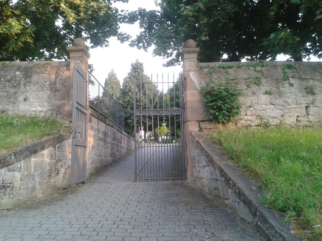
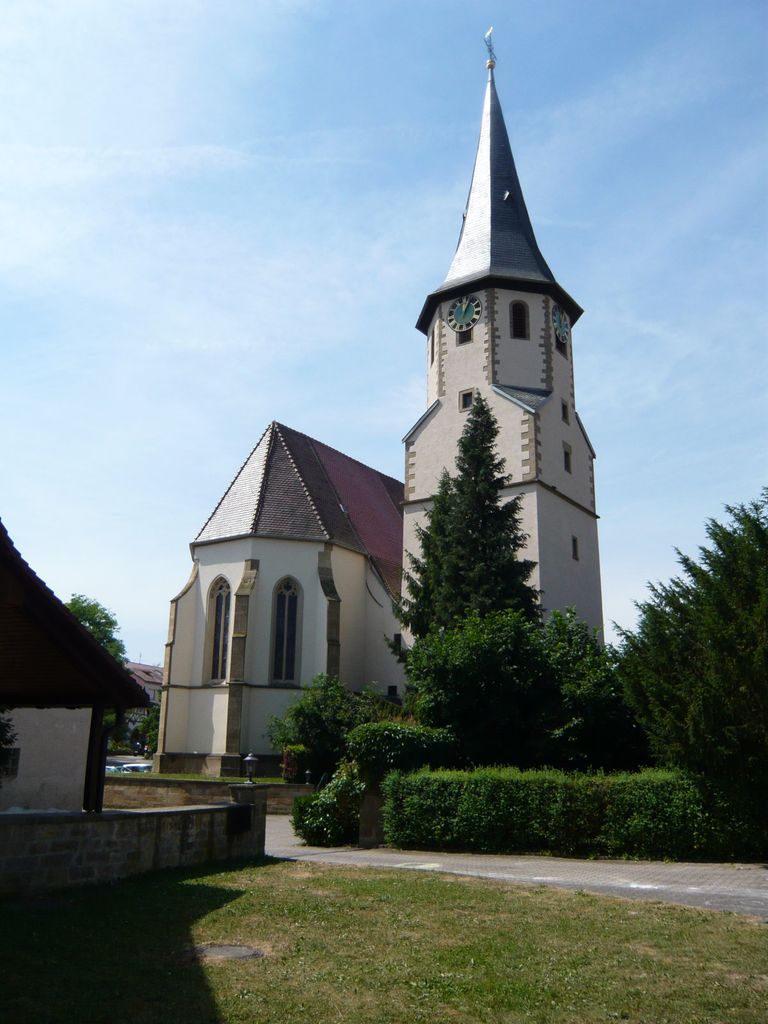
| Description | : | At one time there was a cemetery attached to the church. However the cemetery was removed and the area terraced long ago. Today the cemetery is on the edge of the village. Burial customs in Germany are considerably different than in the United States. People who died in the village were undoubtedly buried in the church cemetery before that cemetery was removed. However, grave sites in Germany are rented, typically for 20 years and are then reused. Therefore, it is unlikely that grave sites will ever be discovered for individuals who were buried long ago. Quellen berichten, daß im 15.... Read More |
frequently asked questions (FAQ):
-
Where is Friedhof Kürnbach?
Friedhof Kürnbach is located at Derdinger Straße Kürnbach, Landkreis Karlsruhe ,Baden-Württemberg , 75057Germany.
-
Friedhof Kürnbach cemetery's updated grave count on graveviews.com?
0 memorials
-
Where are the coordinates of the Friedhof Kürnbach?
Latitude: 49.0783260
Longitude: 8.8455000

Nearby Cemetories:
1. Friedhof Sternenfels
Sternenfels, Enzkreis, Germany
Coordinate: 49.0481499, 8.8483845
2. Friedhof Sulzfeld
Sulzfeld, Landkreis Karlsruhe, Germany
Coordinate: 49.1063124, 8.8631507
3. Friedhof Oberderdingen
Oberderdingen, Landkreis Karlsruhe, Germany
Coordinate: 49.0651697, 8.8037095
4. Friedhof Zaisenhausen
Zaisenhausen, Landkreis Karlsruhe, Germany
Coordinate: 49.1065000, 8.8209000
5. Friedhof Ochsenburg
Ochsenburg, Landkreis Heilbronn, Germany
Coordinate: 49.0736071, 8.8995782
6. Friedhof Leonbronn
Zaberfeld, Landkreis Heilbronn, Germany
Coordinate: 49.0646568, 8.8988467
7. Friedhof Sickingen
Sickingen, Landkreis Karlsruhe, Germany
Coordinate: 49.0861000, 8.7886000
8. Friedhof Diefenbach
Diefenbach, Enzkreis, Germany
Coordinate: 49.0260000, 8.8516000
9. Friedhof Zaberfeld
Zaberfeld, Landkreis Heilbronn, Germany
Coordinate: 49.0576320, 8.9237719
10. Jüdischer Friedhof Flehingen
Flehingen, Landkreis Karlsruhe, Germany
Coordinate: 49.0957000, 8.7589000
11. Friedhof Großvillars
Großvillars, Landkreis Karlsruhe, Germany
Coordinate: 49.0437000, 8.7698000
12. Jüdischer Friedhof Eppingen
Eppingen, Landkreis Heilbronn, Germany
Coordinate: 49.1289010, 8.9046190
13. Kirche St. Martin Gochsheim
Gochsheim, Landkreis Karlsruhe, Germany
Coordinate: 49.1036400, 8.7475800
14. Friedhof Eppingen
Eppingen, Landkreis Heilbronn, Germany
Coordinate: 49.1324320, 8.9121615
15. Friedhof Knittlingen
Knittlingen, Enzkreis, Germany
Coordinate: 49.0276000, 8.7604000
16. Kloster Maulbronn
Maulbronn, Enzkreis, Germany
Coordinate: 49.0011000, 8.8129000
17. Friedhof Maulbronn
Maulbronn, Enzkreis, Germany
Coordinate: 49.0009742, 8.8090359
18. Waldfriedhof Maulbronn
Maulbronn, Enzkreis, Germany
Coordinate: 49.0019465, 8.7938551
19. Friedhof Pfaffenhofen
Pfaffenhofen, Landkreis Heilbronn, Germany
Coordinate: 49.0652230, 8.9767520
20. Friedhof Büchig
Büchig bei Bretten, Landkreis Karlsruhe, Germany
Coordinate: 49.0720000, 8.7100000
21. Friedhof Schützingen
Schützingen, Enzkreis, Germany
Coordinate: 48.9943951, 8.8957983
22. Friedhof Oberacker
Kraichtal, Landkreis Karlsruhe, Germany
Coordinate: 49.1086449, 8.7143066
23. Friedhof Adelshofen
Adelshofen, Landkreis Heilbronn, Germany
Coordinate: 49.1663843, 8.8881552
24. Friedhof Schmie
Schmie, Enzkreis, Germany
Coordinate: 48.9852863, 8.8253037