
| Memorials | : | 0 |
| Location | : | Oberbrändi, Landkreis Freudenstadt, Germany |
| Coordinate | : | 48.3950748, 8.5027758 |
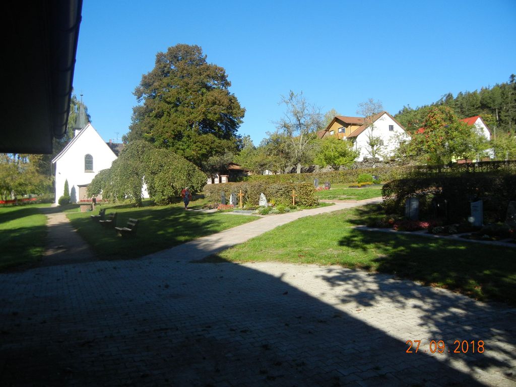
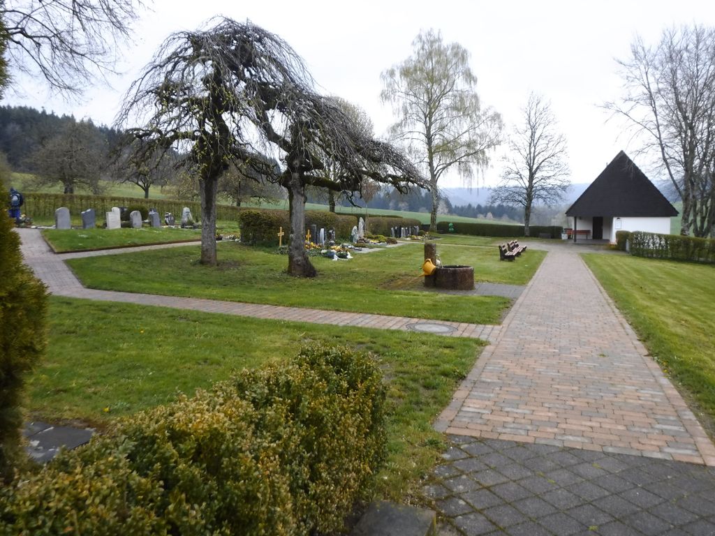
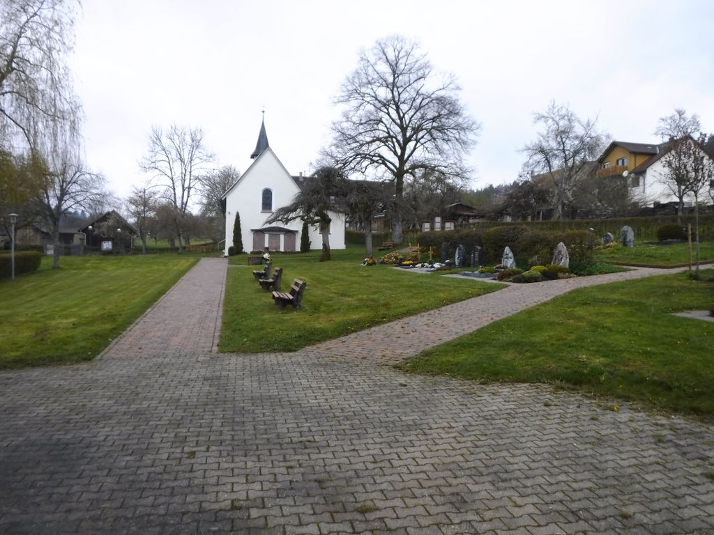
| Description | : | A small cemetery on the edge of the village with good trees and attached to the church. |
frequently asked questions (FAQ):
-
Where is Friedhof Oberbrändi?
Friedhof Oberbrändi is located at Talweg Oberbrändi, Landkreis Freudenstadt ,Baden-Württemberg , 72290Germany.
-
Friedhof Oberbrändi cemetery's updated grave count on graveviews.com?
0 memorials
-
Where are the coordinates of the Friedhof Oberbrändi?
Latitude: 48.3950748
Longitude: 8.5027758
Nearby Cemetories:
1. Friedhof Wittendorf
Wittendorf, Landkreis Freudenstadt, Germany
Coordinate: 48.4164891, 8.5003187
2. Friedhof Fürnsal
Fürnsal, Landkreis Rottweil, Germany
Coordinate: 48.3754850, 8.5198067
3. Friedhof Halde
Loßburg, Landkreis Freudenstadt, Germany
Coordinate: 48.3719235, 8.4823203
4. Friedhof Leinstetten
Leinstetten, Landkreis Rottweil, Germany
Coordinate: 48.3945410, 8.5436789
5. Friedhof Bettenhausen
Bettenhausen, Landkreis Rottweil, Germany
Coordinate: 48.3751016, 8.5399978
6. Friedhof Neuneck
Neuneck, Landkreis Freudenstadt, Germany
Coordinate: 48.4229181, 8.5264738
7. Friedhof Unteriflingen
Unteriflingen, Landkreis Freudenstadt, Germany
Coordinate: 48.4185150, 8.5463503
8. Friedhof Betzweiler
Betzweiler, Landkreis Freudenstadt, Germany
Coordinate: 48.3600244, 8.4810576
9. Friedhof Loßburg
Loßburg, Landkreis Freudenstadt, Germany
Coordinate: 48.4136141, 8.4526851
10. Friedhof Dornhan
Dornhan, Landkreis Rottweil, Germany
Coordinate: 48.3564536, 8.5051414
11. Friedhof Lombach
Lombach, Landkreis Freudenstadt, Germany
Coordinate: 48.4315372, 8.4821054
12. Friedhof Böffingen
Böffingen, Landkreis Freudenstadt, Germany
Coordinate: 48.4317239, 8.5241788
13. Friedhof Oberiflingen
Oberiflingen, Landkreis Freudenstadt, Germany
Coordinate: 48.4229418, 8.5540388
14. Friedhof Loßburg-Rodt
Loßburg, Landkreis Freudenstadt, Germany
Coordinate: 48.4169791, 8.4436330
15. Friedhof Ehlenbogen
Ehlenbogen, Landkreis Freudenstadt, Germany
Coordinate: 48.3850000, 8.4360000
16. Friedhof Ehlenbogen
Alpirsbach, Landkreis Freudenstadt, Germany
Coordinate: 48.3847214, 8.4357828
17. Friedhof Glatten
Glatten, Landkreis Freudenstadt, Germany
Coordinate: 48.4401826, 8.5158914
18. Friedhof Dürrenmettstetten
Dürrenmettstetten, Landkreis Rottweil, Germany
Coordinate: 48.3831812, 8.5861270
19. Friedhof Dietersweiler
Dietersweiler, Landkreis Freudenstadt, Germany
Coordinate: 48.4546397, 8.4774533
20. Friedhof Schömberg
Schömberg, Landkreis Freudenstadt, Germany
Coordinate: 48.3957583, 8.4062364
21. Friedhof Schopfloch
Schopfloch, Landkreis Freudenstadt, Germany
Coordinate: 48.4514523, 8.5552421
22. Friedhof Dettlingen
Horb am Neckar, Landkreis Freudenstadt, Germany
Coordinate: 48.4417600, 8.5768000
23. Friedhof Dießen
Diessen, Landkreis Freudenstadt, Germany
Coordinate: 48.4327058, 8.5884970
24. Friedhof Marschalkenzimmern
Marschalkenzimmern, Landkreis Rottweil, Germany
Coordinate: 48.3303132, 8.5375490