| Memorials | : | 0 |
| Location | : | Petershagen (Zeschdorf), Landkreis Märkisch-Oderland, Germany |
| Coordinate | : | 52.4002220, 14.3405719 |
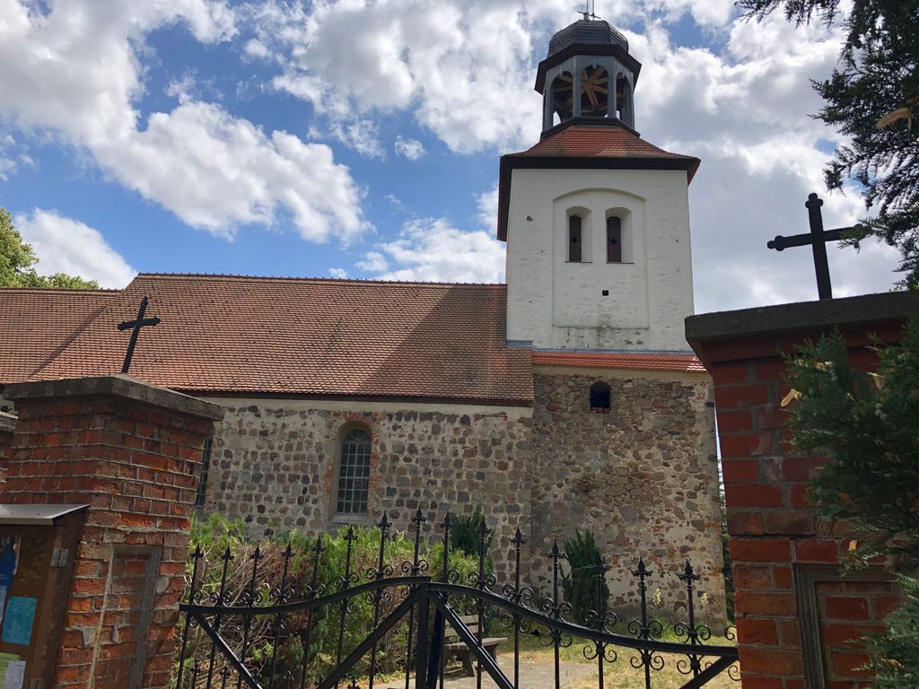
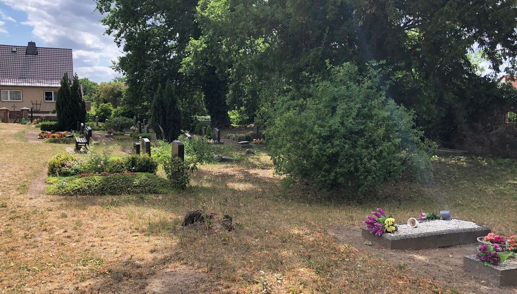
| Description | : | Petershagen is a small village (358 inhabitants in 2006) located at Bundesstrasse 5, in the German State of Brandenburg, east of the capitol Berlin. It is part of the municipality, known as Zeschdorf. The village was founded at the end of the 14th century, the village church (Evangelische Kirche Petershagen) located inside this cemetery dates back to the beginning of the 15th century. A small section of the cemetery contains war graves of soldiers of this village fallen during World War II. Please note that the graves in Germany are not perpetual. After a certain period of repose (20-30 years) the graves... Read More |
frequently asked questions (FAQ):
-
Where is Friedhof Petershagen?
Friedhof Petershagen is located at Berliner Strasse 30 Petershagen (Zeschdorf), Landkreis Märkisch-Oderland ,Brandenburg , 15326Germany.
-
Friedhof Petershagen cemetery's updated grave count on graveviews.com?
0 memorials
-
Where are the coordinates of the Friedhof Petershagen?
Latitude: 52.4002220
Longitude: 14.3405719
Nearby Cemetories:
1. Friedhof Alt Madlitz
Briesen, Landkreis Oder-Spree, Germany
Coordinate: 52.3816109, 14.2885981
2. Friedhof Briesen/Mark
Briesen, Landkreis Oder-Spree, Germany
Coordinate: 52.3402281, 14.2718289
3. Sowjetischer Ehrenfriedhof
Alt Mahlisch, Landkreis Märkisch-Oderland, Germany
Coordinate: 52.4623949, 14.4187160
4. evangelischer Friedhof Pillgram
Pillgram, Landkreis Oder-Spree, Germany
Coordinate: 52.3301912, 14.4014355
5. Friedhof Biegen
Biegen, Landkreis Oder-Spree, Germany
Coordinate: 52.3106392, 14.3575221
6. Kirchhof Kliestow
Kliestow, Stadtkreis Frankfurt an der Oder, Germany
Coordinate: 52.3700851, 14.5093635
7. Dorfkirche Diedersdorf
Diedersdorf, Landkreis Märkisch-Oderland, Germany
Coordinate: 52.5109684, 14.3297000
8. Sowjetischer Ehrenfriedhof
Lebus, Landkreis Märkisch-Oderland, Germany
Coordinate: 52.4267916, 14.5353017
9. Friedhof Dubrow
Müllrose, Landkreis Oder-Spree, Germany
Coordinate: 52.2726850, 14.3884370
10. Friedhof Biegenbrück
Müllrose, Landkreis Oder-Spree, Germany
Coordinate: 52.2685540, 14.3565400
11. Friedhof Neubrück
Neubrück, Landkreis Oder-Spree, Germany
Coordinate: 52.2719970, 14.2778480
12. Hauptfriedhof Frankfurt Oder
Frankfurt (Oder), Stadtkreis Frankfurt an der Oder, Germany
Coordinate: 52.3285900, 14.5301900
13. Neuer Friedhof Müllrose
Müllrose, Landkreis Oder-Spree, Germany
Coordinate: 52.2574207, 14.4188482
14. Alt Rosenthal
Altrosenthal, Landkreis Märkisch-Oderland, Germany
Coordinate: 52.5498797, 14.2796176
15. Friedhof Sauen
Rietz-Neuendorf, Landkreis Oder-Spree, Germany
Coordinate: 52.2607837, 14.2191026
16. Mittelfriedhof Müllrose
Müllrose, Landkreis Oder-Spree, Germany
Coordinate: 52.2442737, 14.4102589
17. August Bier Grab
Sauen, Landkreis Oder-Spree, Germany
Coordinate: 52.2506805, 14.2263466
18. Friedhof Kaisermühl
Müllrose, Landkreis Oder-Spree, Germany
Coordinate: 52.2481988, 14.4588074
19. Friedhof Schlaubehammer
Gross Lindow, Landkreis Oder-Spree, Germany
Coordinate: 52.2476517, 14.4762540
20. Fürstenwalde Kriegsgräberstätte
Fürstenwalde, Landkreis Oder-Spree, Germany
Coordinate: 52.3618920, 14.0600270
21. Russian War Cemetery Reitwein
Reitwein, Landkreis Märkisch-Oderland, Germany
Coordinate: 52.5007963, 14.5781357
22. Speziallager Ketschendorf (Defunct)
Fürstenwalde, Landkreis Oder-Spree, Germany
Coordinate: 52.3447550, 14.0649040
23. Kirchlicher Friedhof Neu Golm
Bad Saarow, Landkreis Oder-Spree, Germany
Coordinate: 52.3035307, 14.0936058
24. Friedhof Altlangsow
Altlangsow, Landkreis Märkisch-Oderland, Germany
Coordinate: 52.5734291, 14.4198446


