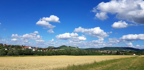
| Memorials | : | 0 |
| Location | : | Bretzfeld, Hohenlohekreis, Germany |
| Website | : | www.bretzfeld.de/leben-wohnen/gemeindliche-einrichtungen/friedhoefe |
| Coordinate | : | 49.1710983, 9.4300094 |
frequently asked questions (FAQ):
-
Where is Friedhof Rappach?
Friedhof Rappach is located at Greutsteinstr. 15 Bretzfeld, Hohenlohekreis ,Baden-Württemberg , 74626Germany.
-
Friedhof Rappach cemetery's updated grave count on graveviews.com?
0 memorials
-
Where are the coordinates of the Friedhof Rappach?
Latitude: 49.1710983
Longitude: 9.4300094
Nearby Cemetories:
1. Friedhof Scheppach
Bretzfeld, Hohenlohekreis, Germany
Coordinate: 49.1628283, 9.4316372
2. Friedhof Bretzfeld
Bretzfeld, Hohenlohekreis, Germany
Coordinate: 49.1755654, 9.4416801
3. Friedhof Bretzfeld
Bretzfeld, Hohenlohekreis, Germany
Coordinate: 49.1756300, 9.4417000
4. Friedhof Adolzfurt
Bretzfeld, Hohenlohekreis, Germany
Coordinate: 49.1657880, 9.4493630
5. Friedhof Waldbach
Waldbach, Hohenlohekreis, Germany
Coordinate: 49.1646600, 9.4090200
6. Friedhof Schwabbach
Bretzfeld, Hohenlohekreis, Germany
Coordinate: 49.1845488, 9.4015736
7. Friedhof Dimbach
Bretzfeld, Hohenlohekreis, Germany
Coordinate: 49.1674555, 9.3897891
8. Jüdischer Friedhof Affaltrach
Affaltrach, Landkreis Heilbronn, Germany
Coordinate: 49.1439860, 9.3841390
9. Friedhof Unterheimbach
Bretzfeld, Hohenlohekreis, Germany
Coordinate: 49.1383182, 9.4673191
10. Friedhof Langenbeutingen
Langenbeutingen, Landkreis Heilbronn, Germany
Coordinate: 49.2125689, 9.4194584
11. Jüdischer Friedhof Öhringen
Öhringen, Hohenlohekreis, Germany
Coordinate: 49.2011130, 9.4853630
12. Friedhof Geddelsbach
Bretzfeld, Hohenlohekreis, Germany
Coordinate: 49.1447549, 9.5021526
13. Stiftskirche St. Peter und Paul
Öhringen, Hohenlohekreis, Germany
Coordinate: 49.2005560, 9.5027780
14. Friedhof Brettach
Brettach, Landkreis Heilbronn, Germany
Coordinate: 49.2254161, 9.3790316
15. Friedhof Cleversulzbach
Neuenstadt am Kocher, Landkreis Heilbronn, Germany
Coordinate: 49.2156380, 9.3535060
16. Friedhof Eberstadt
Eberstadt, Landkreis Heilbronn, Germany
Coordinate: 49.1794300, 9.3193100
17. Waldfriedhof Löwenstein
Löwenstein, Landkreis Heilbronn, Germany
Coordinate: 49.0952900, 9.3856500
18. Friedhof Lehrensteinsfeld
Lehrensteinsfeld, Landkreis Heilbronn, Germany
Coordinate: 49.1295110, 9.3212610
19. Friedhof Dahenfeld
Dahenfeld, Landkreis Heilbronn, Germany
Coordinate: 49.2085160, 9.3035370
20. Friedhof Neuenstadt am Kocher
Neuenstadt am Kocher, Landkreis Heilbronn, Germany
Coordinate: 49.2355160, 9.3314800
21. Nikolauskirche
Neuenstadt am Kocher, Landkreis Heilbronn, Germany
Coordinate: 49.2371300, 9.3301400
22. Friedhof Wüstenrot
Wüstenrot, Landkreis Heilbronn, Germany
Coordinate: 49.0778900, 9.4627600
23. Friedhof Bürg
Neuenstadt am Kocher, Landkreis Heilbronn, Germany
Coordinate: 49.2448400, 9.3355900
24. Friedhof Finsterrot
Wüstenrot, Landkreis Heilbronn, Germany
Coordinate: 49.0832500, 9.4948500

