
| Memorials | : | 0 |
| Location | : | Schrozberg, Landkreis Schwäbisch Hall, Germany |
| Coordinate | : | 49.3405731, 9.9749909 |
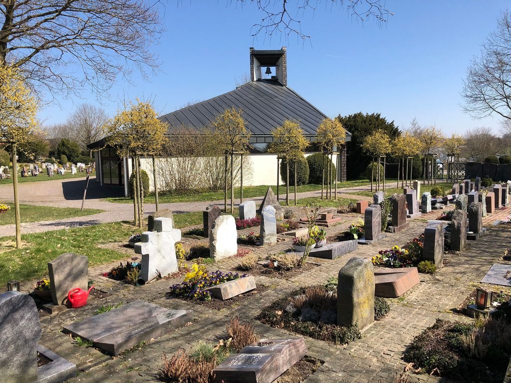
| Description | : | This is Schrozberg´s "Neuer Friedhof" (new cemetery). There is also an "old cemetery" in the town center. |
frequently asked questions (FAQ):
-
Where is Friedhof Schrozberg?
Friedhof Schrozberg is located at Friedhofstrasse Schrozberg, Landkreis Schwäbisch Hall ,Baden-Württemberg , 74575Germany.
-
Friedhof Schrozberg cemetery's updated grave count on graveviews.com?
0 memorials
-
Where are the coordinates of the Friedhof Schrozberg?
Latitude: 49.3405731
Longitude: 9.9749909
Nearby Cemetories:
1. Alter Friedhof Schrozberg
Schrozberg, Landkreis Schwäbisch Hall, Germany
Coordinate: 49.3425961, 9.9791354
2. Friedhof Krailshausen
Krailshausen, Landkreis Schwäbisch Hall, Germany
Coordinate: 49.3665818, 9.9915662
3. Friedhof Blaufelden
Blaufelden, Landkreis Schwäbisch Hall, Germany
Coordinate: 49.2983900, 9.9759900
4. Friedhof Wildentierbach
Wildentierbach, Main-Tauber-Kreis, Germany
Coordinate: 49.3952860, 9.9825730
5. Friedhof Bartenstein
Bartenstein, Landkreis Schwäbisch Hall, Germany
Coordinate: 49.3556967, 9.8859290
6. Friedhof Niederstetten
Niederstetten, Main-Tauber-Kreis, Germany
Coordinate: 49.4032090, 9.9200130
7. Friedhof Gammesfeld
Gammesfeld, Landkreis Schwäbisch Hall, Germany
Coordinate: 49.3112540, 10.0948363
8. Friedhof Heiligenbronn
Heiligenbronn, Landkreis Schwäbisch Hall, Germany
Coordinate: 49.3794013, 10.0981218
9. Friedhof Rot am See
Rot am See, Landkreis Schwäbisch Hall, Germany
Coordinate: 49.2521348, 10.0273048
10. Friedhof Hilgartshausen
Rot am See, Landkreis Schwäbisch Hall, Germany
Coordinate: 49.2672091, 10.0675529
11. Friedhof Brettheim
Brettheim, Landkreis Schwäbisch Hall, Germany
Coordinate: 49.2782623, 10.0903073
12. Friedhof Gerabronn
Gerabronn (Gerabronn), Landkreis Schwäbisch Hall, Germany
Coordinate: 49.2481130, 9.9160760
13. Friedhof Hausen am Bach
Rot am See, Landkreis Schwäbisch Hall, Germany
Coordinate: 49.2959356, 10.1179181
14. Stadtkirche Langenburg
Langenburg, Landkreis Schwäbisch Hall, Germany
Coordinate: 49.2532100, 9.8488100
15. Bergkirche Laudenbach
Laudenbach, Main-Tauber-Kreis, Germany
Coordinate: 49.4562200, 9.9195900
16. Friedhof Langenburg
Langenburg, Landkreis Schwäbisch Hall, Germany
Coordinate: 49.2528170, 9.8443560
17. Friedhof Bächlingen
Langenburg, Landkreis Schwäbisch Hall, Germany
Coordinate: 49.2466838, 9.8525440
18. Jüdischer Friedhof Creglingen
Creglingen, Main-Tauber-Kreis, Germany
Coordinate: 49.4621940, 10.0175620
19. Kirche von Bächlingen
Langenburg, Landkreis Schwäbisch Hall, Germany
Coordinate: 49.2454720, 9.8490830
20. Friedhof Insingen
Insingen, Landkreis Ansbach, Germany
Coordinate: 49.3033533, 10.1619194
21. Jüdischer Friedhof Michelbach an der Lücke
Michelbach an der Lücke, Landkreis Schwäbisch Hall, Germany
Coordinate: 49.2436000, 10.1059500
22. Friedhof Archshofen
Archshofen, Main-Tauber-Kreis, Germany
Coordinate: 49.4529800, 10.0750300
23. Jüdischer Friedhof Weikersheim
Weikersheim, Main-Tauber-Kreis, Germany
Coordinate: 49.4638437, 9.9018295
24. Friedhof der Sankt Johannes Baptist Kirche
Niederrimbach, Main-Tauber-Kreis, Germany
Coordinate: 49.4738854, 9.9959870