
| Memorials | : | 0 |
| Location | : | Stapel, Landkreis Leer, Germany |
| Coordinate | : | 53.3253010, 7.8321040 |
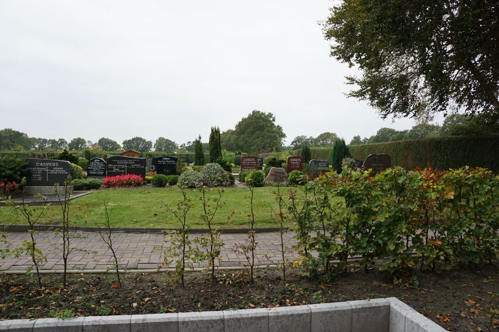
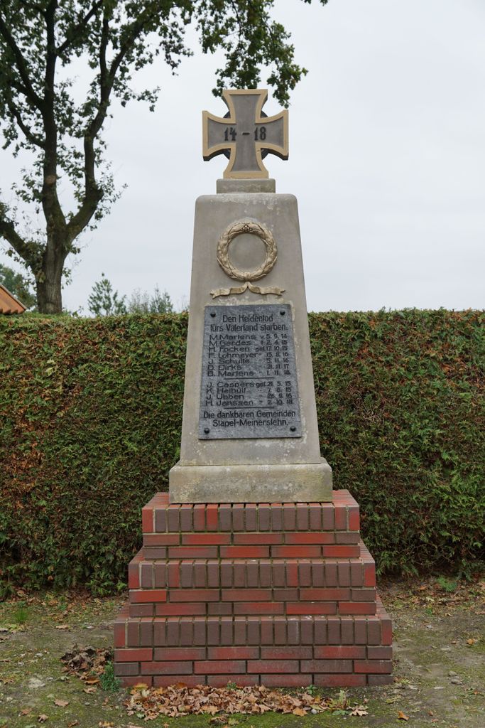
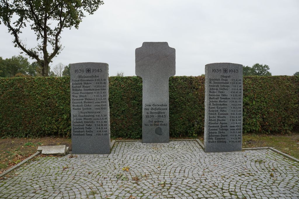
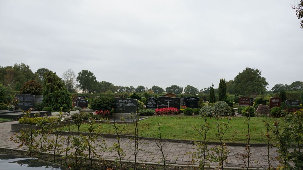
| Description | : | This little hamlet of Stapel is part of the town of Uplengen. There are three very similar sounding cemeteries in this area: FRIEDHOF STAPEL FRIEDHOF STAPELMOOR FRIEDHOF STAPELERMOOR Please note that the graves in Germany are not perpetual. After a certain period of repose (20-30 years) the graves are being leveled and re-used. There is no toxic embalming being done in Germany, so the coffin and the corpse can decompose naturally. If the family of the deceased decides to purchase another period the duration can be extended by another 30 years. Otherwise the grave will be leveled and reused, the marker than used as... Read More |
frequently asked questions (FAQ):
-
Where is Friedhof Stapel?
Friedhof Stapel is located at Meinersfehner Strasse, Town of Uplengen Stapel, Landkreis Leer ,Lower Saxony (Niedersachsen) , 26670Germany.
-
Friedhof Stapel cemetery's updated grave count on graveviews.com?
0 memorials
-
Where are the coordinates of the Friedhof Stapel?
Latitude: 53.3253010
Longitude: 7.8321040
Nearby Cemetories:
1. Friedhof Stapelermoor
Stapelermoor, Landkreis Leer, Germany
Coordinate: 53.3363100, 7.8528290
2. Friedhof Ockenhausen
Ockenhausen, Landkreis Leer, Germany
Coordinate: 53.3518909, 7.8002340
3. Friedhof Neudorf
Neudorf, Landkreis Leer, Germany
Coordinate: 53.3426890, 7.7602950
4. Neuer Friedhof Remels
Remels, Landkreis Leer, Germany
Coordinate: 53.3028540, 7.7537020
5. Alter Friedhof Remels
Remels, Landkreis Leer, Germany
Coordinate: 53.3057500, 7.7511830
6. Friedhof Bentstreek
Friedeburg, Landkreis Wittmund, Germany
Coordinate: 53.3917110, 7.8298920
7. Friedhof Hinrichsfehn
Wiesmoor, Landkreis Aurich, Germany
Coordinate: 53.3743240, 7.7318910
8. Friedhof Neufirrel
Landkreis Leer, Germany
Coordinate: 53.3443582, 7.6986296
9. Baptisten Gemeinde Friedhof
Felde, Landkreis Ammerland, Germany
Coordinate: 53.2546120, 7.9185130
10. Friedhof Westerstede
Westerstede, Landkreis Ammerland, Germany
Coordinate: 53.2604030, 7.9307780
11. Sankt Petri Kirche Friedhof
Westerstede, Landkreis Ammerland, Germany
Coordinate: 53.2575920, 7.9281430
12. Friedhof Mullberg
Wiesmoor, Landkreis Aurich, Germany
Coordinate: 53.4081800, 7.7711900
13. Friedhof Fiebing
Landkreis Aurich, Germany
Coordinate: 53.3525390, 7.6772180
14. Friedhof Neuenburg
Zetel, Landkreis Friesland, Germany
Coordinate: 53.3922037, 7.9534271
15. Friedhof Zwischenbergen
Wiesmoor, Landkreis Aurich, Germany
Coordinate: 53.3635220, 7.6784310
16. Friedhof Südgeorgsfehn
Landkreis Leer, Germany
Coordinate: 53.2446990, 7.7326180
17. Friedhof Augustfehn
Augustfehn, Landkreis Ammerland, Germany
Coordinate: 53.2315340, 7.7684210
18. Friedhof Firrel
Firrel, Landkreis Leer, Germany
Coordinate: 53.3289210, 7.6624030
19. Alter Friedhof Hollen
Hollen, Landkreis Leer, Germany
Coordinate: 53.2545682, 7.7084359
20. Neuer Friedhof Hollen
Hollen, Landkreis Leer, Germany
Coordinate: 53.2533620, 7.7093330
21. Friedhof Vossbarg
Wiesmoor, Landkreis Aurich, Germany
Coordinate: 53.3866080, 7.6937020
22. Friedhof Nordgeorgsfehn
Landkreis Leer, Germany
Coordinate: 53.2677390, 7.6877850
23. Friedhof Schwerinsdorf
Schwerinsdorf, Landkreis Leer, Germany
Coordinate: 53.3101067, 7.6601338
24. Neuer Friedhof
Apen, Landkreis Ammerland, Germany
Coordinate: 53.2204960, 7.8067040