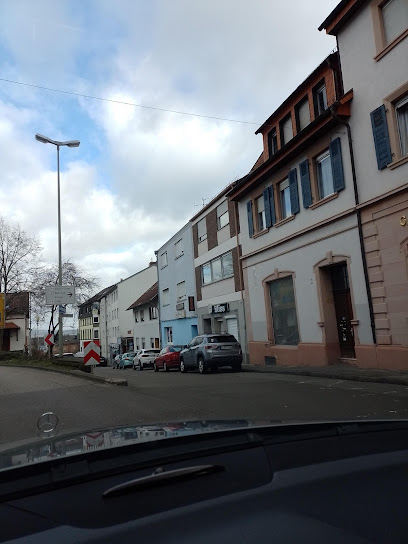
| Memorials | : | 0 |
| Location | : | Bad Kreuznach, Landkreis Bad Kreuznach, Germany |
| Phone | : | +49-671-7946202 |
| Website | : | www.badkreuznach.de/sv_bad_kreuznack/Politik%20und%20Verwaltung/Bauhof/St%C3%A4ditsch%20Friedh%C3%B6fe/ |
| Coordinate | : | 49.4000000, 7.5200000 |
| Description | : | Burial of WW I German soldiers and also those who died in WW II and later. The remains of work concentration camp prisoners who were taken from Sachsenhausen KZ camp near Berlin to work on the bombed out RR and bridges in 1944-45. |
frequently asked questions (FAQ):
-
Where is Friedhofsverwaltung?
Friedhofsverwaltung is located at Mannheimer Strasse 249 Bad Kreuznach, Landkreis Bad Kreuznach ,Rheinland-Pfalz , 55543Germany.
-
Friedhofsverwaltung cemetery's updated grave count on graveviews.com?
0 memorials
-
Where are the coordinates of the Friedhofsverwaltung?
Latitude: 49.4000000
Longitude: 7.5200000
Nearby Cemetories:
1. Friedhof Hauptstuhl
Hauptstuhl, Landkreis Kaiserslautern, Germany
Coordinate: 49.4003883, 7.4991166
2. St. Andreas-Kirche
Landstuhl, Landkreis Kaiserslautern, Germany
Coordinate: 49.4095100, 7.5701620
3. Friedhof Martinshöhe
Martinshöhe, Landkreis Kaiserslautern, Germany
Coordinate: 49.3700529, 7.4817782
4. Landstuhl Cemetery
Landstuhl, Landkreis Kaiserslautern, Germany
Coordinate: 49.4132313, 7.5803565
5. Friedhof Ramstein
Ramstein-Miesenbach, Landkreis Kaiserslautern, Germany
Coordinate: 49.4473300, 7.5494100
6. Mariä Himmelfahrt Catholic Church Cemetery
Knopp-Labach, Landkreis Südwestpfalz, Germany
Coordinate: 49.3472727, 7.5084998
7. Obernheim-Kirchenarnbach
Obernheim-Kirchenarnbach, Landkreis Südwestpfalz, Germany
Coordinate: 49.3573500, 7.5776200
8. Friedhof Kindsbach
Kindsbach, Landkreis Kaiserslautern, Germany
Coordinate: 49.4167321, 7.6071109
9. Friedhof Wallhalben
Wallhalben, Landkreis Südwestpfalz, Germany
Coordinate: 49.3152800, 7.5262900
10. Friedhof Rehweiler
Rehweiler, Landkreis Kusel, Germany
Coordinate: 49.4803625, 7.4387971
11. Friedhof Käshofen
Käshofen, Landkreis Südwestpfalz, Germany
Coordinate: 49.3278570, 7.4206210
12. Friedhof Kübelberg
Schönenberg-Kübelberg, Landkreis Kusel, Germany
Coordinate: 49.4079629, 7.3698712
13. Jüdischer Friedhof Steinbach am Glan
Steinbach, Landkreis Kusel, Germany
Coordinate: 49.4577760, 7.3982190
14. Friedhof Henschtal
Landkreis Kusel, Germany
Coordinate: 49.4646293, 7.4056378
15. Friedhof Herschberg
Herschberg, Landkreis Südwestpfalz, Germany
Coordinate: 49.3022970, 7.5416240
16. Trahweiler
Trahweiler, Landkreis Kusel, Germany
Coordinate: 49.4643049, 7.4015576
17. Friedhof Quirnbach
Quirnbach, Landkreis Kusel, Germany
Coordinate: 49.4784922, 7.4182498
18. Friedhof Hermersberg
Hermersberg, Landkreis Südwestpfalz, Germany
Coordinate: 49.3213030, 7.6228430
19. Friedhof 2
Frutzweiler, Landkreis Kusel, Germany
Coordinate: 49.4546832, 7.3807754
20. Friedhof 1
Frutzweiler, Landkreis Kusel, Germany
Coordinate: 49.4517685, 7.3762781
21. Friedhof Horbach
Horbach, Landkreis Südwestpfalz, Germany
Coordinate: 49.3374990, 7.6586540
22. Friedhof Schopp
Schopp, Landkreis Kaiserslautern, Germany
Coordinate: 49.3558280, 7.6921490
23. Friedhof Ohmbach
Ohmbach, Landkreis Kusel, Germany
Coordinate: 49.4509570, 7.3474230
24. Homburg Saar-Neuer Soldatenfriedhof
Homburg, Saarpfalz-Kreis, Germany
Coordinate: 49.3257100, 7.3556000

