| Memorials | : | 12 |
| Location | : | Greenville, Muhlenberg County, USA |
| Coordinate | : | 37.1637940, -87.1926510 |
| Description | : | Directions to this cemetery: from Greenville take Highway 62W to Highway 171S (or Weir Road, located just before the hospital) go on Highway 171S about 2 1/2 miles. the church and cemetery are on the left. |
frequently asked questions (FAQ):
-
Where is Friendship Baptist Church Cemetery?
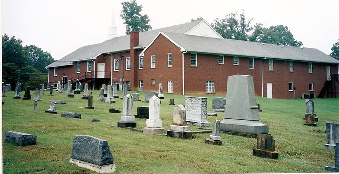
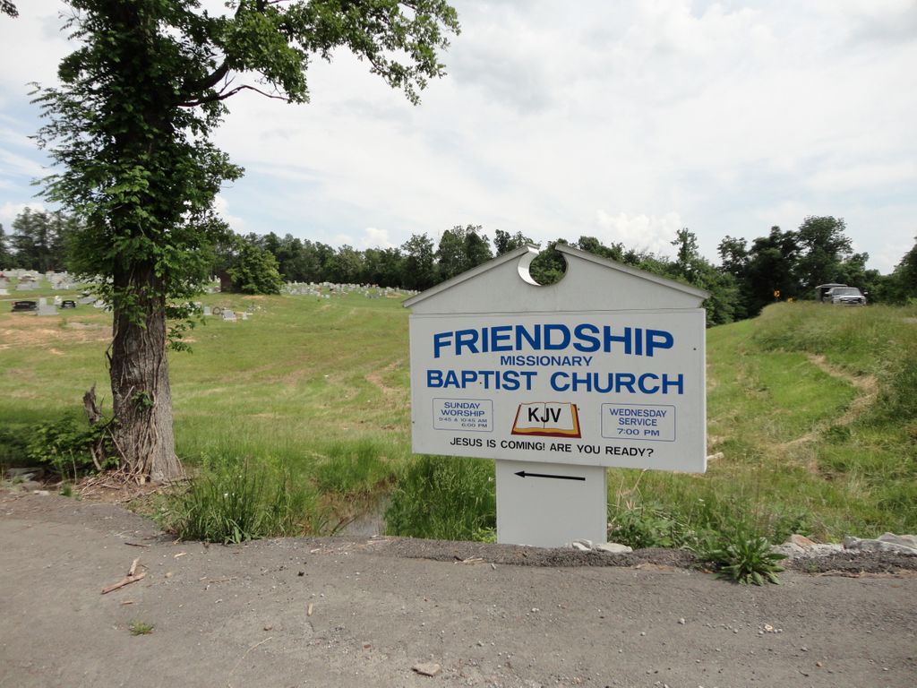
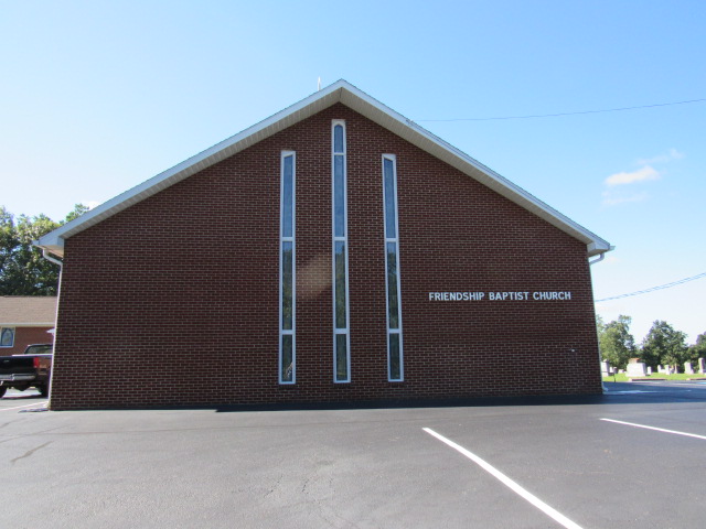
Friendship Baptist Church Cemetery is located at located 2 1/2 miles south of Greenville, KY on Highway 171 Greenville, Muhlenberg County ,Kentucky ,USA.
-
Friendship Baptist Church Cemetery cemetery's updated grave count on graveviews.com?
11 memorials
-
Where are the coordinates of the Friendship Baptist Church Cemetery?
Latitude: 37.1637940
Longitude: -87.1926510
Nearby Cemetories:
1. Reynolds Cemetery
Greenville, Muhlenberg County, USA
Coordinate: 37.1567200, -87.2154840
2. Lee Family Cemetery
Greenville, Muhlenberg County, USA
Coordinate: 37.1833000, -87.2241974
3. Pleasant Hill Cemetery
Greenville, Muhlenberg County, USA
Coordinate: 37.1742439, -87.1534653
4. West End Cemetery
Greenville, Muhlenberg County, USA
Coordinate: 37.1968994, -87.1980972
5. Allen Cemetery
Muhlenberg County, USA
Coordinate: 37.1338997, -87.2125015
6. Woodland Cemetery
Greenville, Muhlenberg County, USA
Coordinate: 37.1793980, -87.1521380
7. Old Greenville Cemetery
Greenville, Muhlenberg County, USA
Coordinate: 37.2002170, -87.1748850
8. Evergreen Cemetery
Greenville, Muhlenberg County, USA
Coordinate: 37.2036018, -87.1678009
9. Eades Cemetery
Muhlenberg County, USA
Coordinate: 37.1833000, -87.2450000
10. Cornett Cemetery
Muhlenberg County, USA
Coordinate: 37.1199989, -87.1742020
11. Bivins Cemetery
Muhlenberg County, USA
Coordinate: 37.1189870, -87.2113640
12. Old Liberty Cemetery
Muhlenberg County, USA
Coordinate: 37.1650009, -87.2583008
13. Jernigans Chapel Cemetery
Muhlenberg County, USA
Coordinate: 37.1940190, -87.1381570
14. Carter Creek Missionary Baptist Church Cemetery
Greenville, Muhlenberg County, USA
Coordinate: 37.1329370, -87.1368130
15. Freedom Baptist Church Cemetery
Depoy, Muhlenberg County, USA
Coordinate: 37.2126820, -87.2262920
16. Caney Station Cemetery
Greenville, Muhlenberg County, USA
Coordinate: 37.2197290, -87.1948480
17. Luzerne Baptist Church Cemetery
Muhlenberg County, USA
Coordinate: 37.2183390, -87.2118930
18. Rice Cemetery
Greenville, Muhlenberg County, USA
Coordinate: 37.1391983, -87.2566986
19. Cave Springs Baptist Church Cemetery
Greenville, Muhlenberg County, USA
Coordinate: 37.1330440, -87.2525310
20. Lee Hill Cemetery
Depoy, Muhlenberg County, USA
Coordinate: 37.2089000, -87.2427270
21. Pace-Knight Cemetery
Greenville, Muhlenberg County, USA
Coordinate: 37.1417470, -87.2650560
22. Oak Grove Baptist Church Cemetery
Depoy, Muhlenberg County, USA
Coordinate: 37.2140570, -87.2427800
23. Johnston Cemetery
Muhlenberg County, USA
Coordinate: 37.1275890, -87.1183890
24. Mosley Wells Family Cemetery
Greenville, Muhlenberg County, USA
Coordinate: 37.0943200, -87.2060340


