
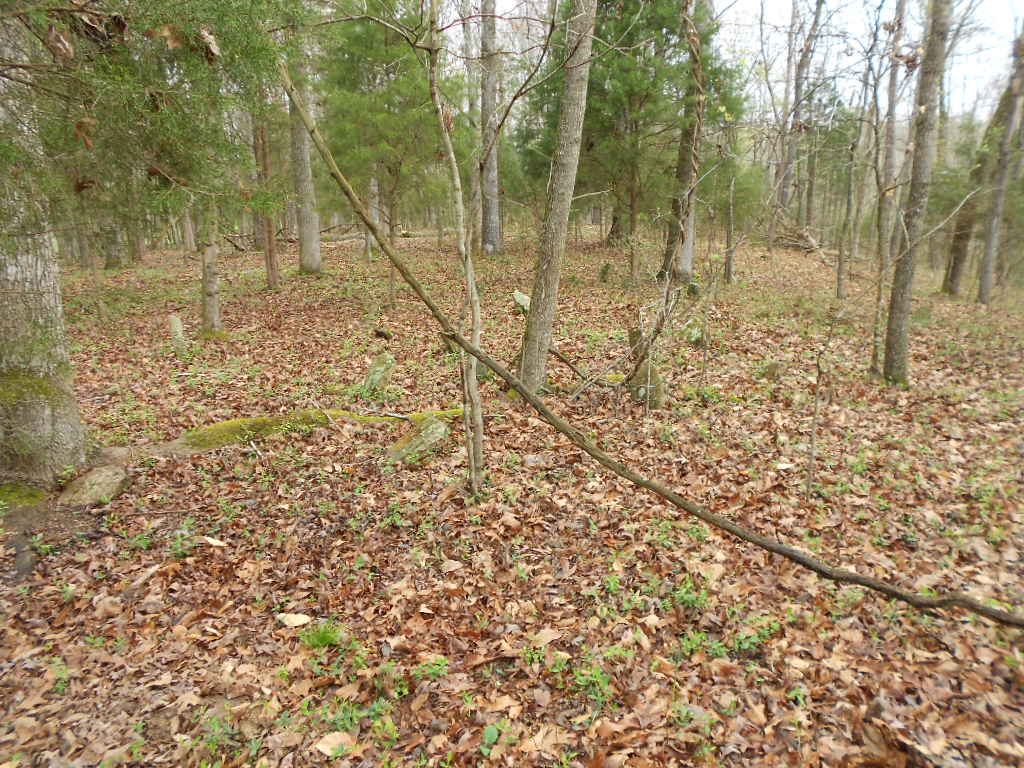
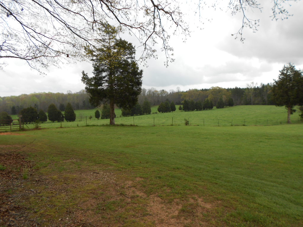
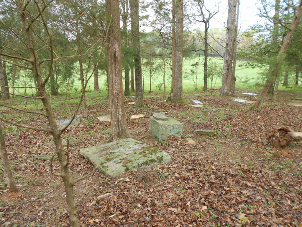
| Memorials | : | 0 |
| Location | : | Abbeville County, USA |
| Coordinate | : | 34.4210000, -82.3070830 |
frequently asked questions (FAQ):
-
Where is Gaines Chapel Cemetery?
Gaines Chapel Cemetery is located at Abbeville County ,South Carolina ,USA.
-
Gaines Chapel Cemetery cemetery's updated grave count on graveviews.com?
0 memorials
-
Where are the coordinates of the Gaines Chapel Cemetery?
Latitude: 34.4210000
Longitude: -82.3070830

Nearby Cemetories:
1. Turkey Creek Baptist Church Cemetery
Abbeville County, USA
Coordinate: 34.3922005, -82.2763977
2. Medlock Puckett Knight Cemetery
Ware Shoals, Laurens County, USA
Coordinate: 34.4473190, -82.2590020
3. Dunn Creek Baptist Church Cemetery
Abbeville County, USA
Coordinate: 34.3756020, -82.2811190
4. Dunns Creek Cemetery
Greenwood County, USA
Coordinate: 34.3753014, -82.2807999
5. Harmony United Methodist Church
Ware Shoals, Laurens County, USA
Coordinate: 34.4442320, -82.2508850
6. Broadmouth Church Cemetery
Honea Path, Abbeville County, USA
Coordinate: 34.4597015, -82.3516998
7. Forksville Baptist Church Cemetery
Donalds, Abbeville County, USA
Coordinate: 34.3853230, -82.3556430
8. Donalds Cemetery
Donalds, Abbeville County, USA
Coordinate: 34.3796997, -82.3507996
9. Ware Shoals Cemetery
Laurens County, USA
Coordinate: 34.4095500, -82.2409720
10. Robert Henson Kay Family Cemetery
Honea Path, Abbeville County, USA
Coordinate: 34.4143982, -82.3780975
11. Alexander Elgin Kay Family Cemetery
Honea Path, Abbeville County, USA
Coordinate: 34.4184900, -82.3797100
12. Gambrell Cemetery
Honea Path, Anderson County, USA
Coordinate: 34.4843000, -82.3205500
13. East View Cemetery
Honea Path, Anderson County, USA
Coordinate: 34.4528008, -82.3778000
14. Liberty Baptist Church Cemetery
Honea Path, Anderson County, USA
Coordinate: 34.4460610, -82.3822590
15. Clinkscales Family Cemetery
Anderson County, USA
Coordinate: 34.4766770, -82.3525090
16. New Bethlehem Baptist Church Cemetery
Laurens County, USA
Coordinate: 34.4882164, -82.2949142
17. Kay Plantation Cemetery
Honea Path, Anderson County, USA
Coordinate: 34.4746700, -82.3603800
18. Mount Bethel United Methodist Church Cemetery
Ware Shoals, Laurens County, USA
Coordinate: 34.4706001, -82.2431030
19. Greenville Presbyterian Church Cemetery
Shoals Junction, Greenwood County, USA
Coordinate: 34.3477590, -82.3034120
20. Honea Path Presbyterian Church Cemetery
Honea Path, Anderson County, USA
Coordinate: 34.4441986, -82.3917007
21. Graham -Jones
Ware Shoals, Greenwood County, USA
Coordinate: 34.3779750, -82.2252850
22. Princeton Baptist Church Cemetery
Princeton, Laurens County, USA
Coordinate: 34.4989014, -82.2830963
23. Perrit Family Cemetery
Laurens County, USA
Coordinate: 34.4706001, -82.3851013
24. Poole Family Cemetery
Laurens County, USA
Coordinate: 34.4706001, -82.3851013