| Memorials | : | 47 |
| Location | : | Humboldt, Allen County, USA |
| Coordinate | : | 37.7762100, -95.3973100 |
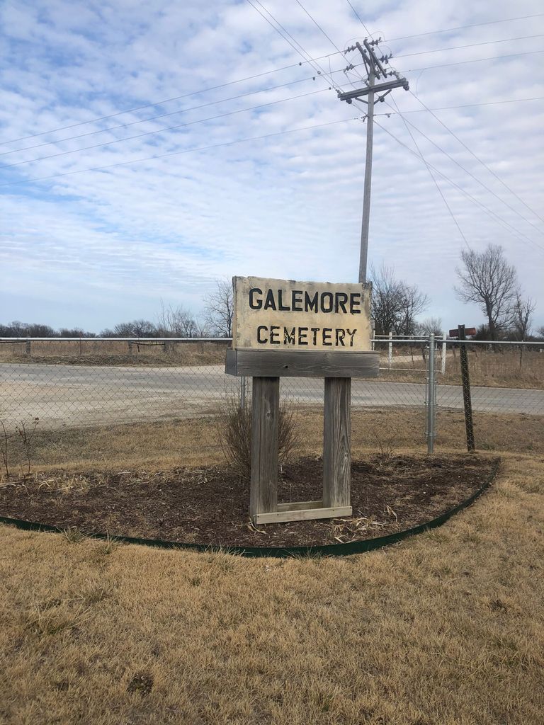
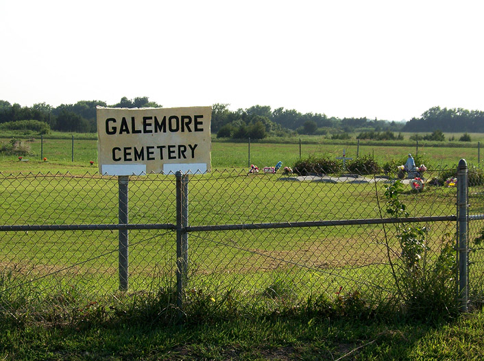
| Description | : | ***************************** Galemore Cemetery is also known as Kern Cemetery, and as Evangelical Cemetery (of which the cemetery records are listed under). This is a well maintained cemetery. Directions from Humboldt, Kansas: From Highway 169 take the Tank Farm Road (Delaware Rd) exit. Turn East for 3/4 mile to 1600 St. Turn South for 1 mile to Connecticut Rd. Cemetery is on the southwest corner of the intersection of 1600th St and Connecticut Road. History: On June 5, 1869, Henry Carter deeded to Jacob Bunkle/Burkle, Martin Kern, and Michael F. Kern, ½ acre for a cemetery. Location: 2 miles south and 2 miles east of Humboldt, Kansas in Allen County... Read More |
frequently asked questions (FAQ):
-
Where is Galemore Cemetery?
Galemore Cemetery is located at Humboldt, Allen County ,Kansas ,USA.
-
Galemore Cemetery cemetery's updated grave count on graveviews.com?
47 memorials
-
Where are the coordinates of the Galemore Cemetery?
Latitude: 37.7762100
Longitude: -95.3973100
Nearby Cemetories:
1. Saint Peters Lutheran Cemetery
Humboldt, Allen County, USA
Coordinate: 37.7757988, -95.4019012
2. Cottage Grove Cemetery
Humboldt, Allen County, USA
Coordinate: 37.7588920, -95.4447770
3. Maple Grove Cemetery
Humboldt, Allen County, USA
Coordinate: 37.8078003, -95.3613968
4. Mount Hope Cemetery
Humboldt, Allen County, USA
Coordinate: 37.8202800, -95.4263600
5. Evan Young Cemetery
Humboldt, Allen County, USA
Coordinate: 37.8200400, -95.4474800
6. Saint Joseph Cemetery
Humboldt, Allen County, USA
Coordinate: 37.8266600, -95.4368700
7. Winstead Family Cemetery
Neosho County, USA
Coordinate: 37.7176140, -95.4097240
8. Fussman Cemetery
Humboldt, Allen County, USA
Coordinate: 37.8272700, -95.4369100
9. William W. Boulden Gravesite
Allen County, USA
Coordinate: 37.8346500, -95.4417200
10. Leanna Cemetery
Neosho County, USA
Coordinate: 37.7328600, -95.3240200
11. DeWitt Cemetery
Humboldt, Allen County, USA
Coordinate: 37.8194008, -95.4922028
12. Big Creek Cemetery
Neosho County, USA
Coordinate: 37.7035000, -95.3234200
13. Salem Cemetery
La Harpe, Allen County, USA
Coordinate: 37.8563500, -95.3358400
14. Reeves Cemetery
Chanute, Neosho County, USA
Coordinate: 37.6966553, -95.4754868
15. Ellison Cemetery
Allen County, USA
Coordinate: 37.7877998, -95.5242004
16. Swede Center Cemetery
Chanute, Neosho County, USA
Coordinate: 37.7186012, -95.5072021
17. Prairie View Cemetery
Neosho County, USA
Coordinate: 37.6819000, -95.3373700
18. Grace Episcopal Church Columbarium
Chanute, Neosho County, USA
Coordinate: 37.6791200, -95.4518500
19. Greenwood Cemetery
Chanute, Neosho County, USA
Coordinate: 37.6674995, -95.4000015
20. Elmwood Cemetery
Chanute, Neosho County, USA
Coordinate: 37.6685982, -95.4443970
21. Memorial Park Cemetery
Chanute, Neosho County, USA
Coordinate: 37.6672700, -95.4426700
22. Saint Patricks Cemetery
Chanute, Neosho County, USA
Coordinate: 37.6748352, -95.4654007
23. Odense Cemetery
Odense, Neosho County, USA
Coordinate: 37.7036018, -95.2643967
24. Jones Farm Cemetery
Allen County, USA
Coordinate: 37.7793999, -95.2329254


