
| Memorials | : | 4 |
| Location | : | Sagle, Bonner County, USA |
| Coordinate | : | 48.2186127, -116.4194412 |
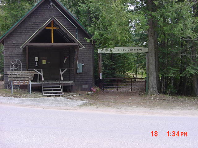
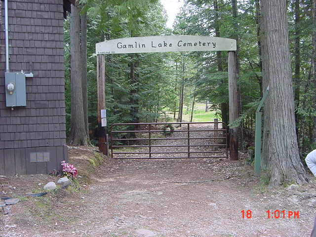
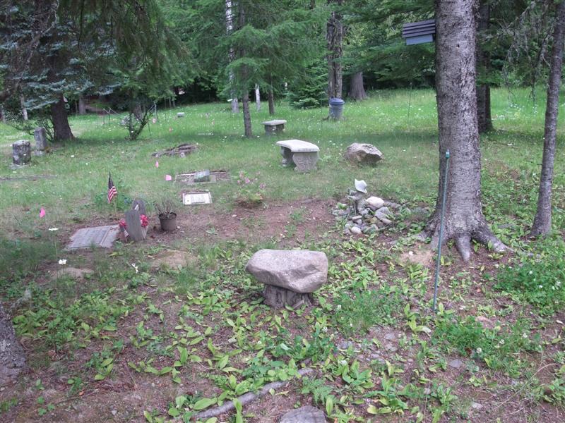
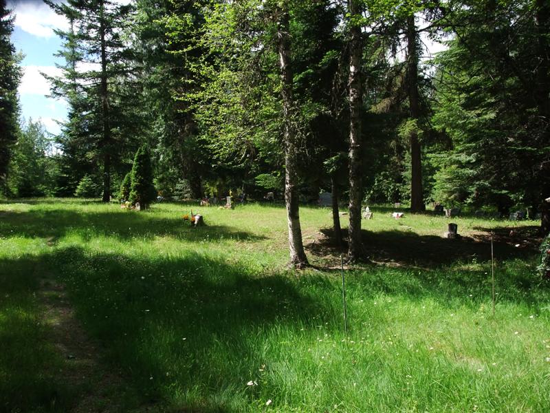
| Description | : | The Gamlin Lake Cemetery has also been called the "NEWMAN CEMETERY" and the "BROTEN CEMETERY". I have also seen it referred to as the Wildwood Cemetery because it is located by a little community church called "The Church in the Wildwood" Gamlin Lake Cemetery is located on Sagle Road about 9 miles East of US Highway 95 from Sagle, Idaho The cemetery is in a natural state but is maintained by volunteers. Gamlin Lake Cemetery Association Barbara Branson 358 Martin Bay Loop Sagle, ID 83860 |
frequently asked questions (FAQ):
-
Where is Gamlin Lake Cemetery?
Gamlin Lake Cemetery is located at Sagle, Bonner County ,Idaho ,USA.
-
Gamlin Lake Cemetery cemetery's updated grave count on graveviews.com?
3 memorials
-
Where are the coordinates of the Gamlin Lake Cemetery?
Latitude: 48.2186127
Longitude: -116.4194412
Nearby Cemetories:
1. Old Hope Cemetery
Hope, Bonner County, USA
Coordinate: 48.2530500, -116.3157300
2. Hope Cemetery
East Hope, Bonner County, USA
Coordinate: 48.2449989, -116.2966995
3. Owen Family Cemetery
East Hope, Bonner County, USA
Coordinate: 48.2160100, -116.2790200
4. Cloudledge Cemetery
East Hope, Bonner County, USA
Coordinate: 48.2345670, -116.2772340
5. Lakeview Cemetery
Sandpoint, Bonner County, USA
Coordinate: 48.2619019, -116.5661011
6. Pinecrest Memorial Park
Sandpoint, Bonner County, USA
Coordinate: 48.2797203, -116.5869370
7. Drake Cemetery
Bonner County, USA
Coordinate: 48.1180500, -116.5402700
8. Westmond Cemetery
Westmond, Bonner County, USA
Coordinate: 48.1464005, -116.5986023
9. Pack River Cemetery
Bonner County, USA
Coordinate: 48.3675620, -116.4404120
10. Clark Fork Cemetery
Clark Fork, Bonner County, USA
Coordinate: 48.1610000, -116.1690000
11. Gold Creek Cemetery
Bonner County, USA
Coordinate: 48.4000015, -116.4160995
12. Clara Cemetery
Bonner County, USA
Coordinate: 48.0344009, -116.4486008
13. Colburn Cemetery
Colburn, Bonner County, USA
Coordinate: 48.3918000, -116.5384900
14. Seneacquoteen Cemetery
Sandpoint, Bonner County, USA
Coordinate: 48.1510000, -116.7592000
15. Cabinet Cemetery
Bonner County, USA
Coordinate: 48.0826000, -116.0681000
16. McArthur Cemetery
Boundary County, USA
Coordinate: 48.5246000, -116.4350000
17. Evergreen Cemetery
Priest River, Bonner County, USA
Coordinate: 48.1907959, -116.9042740
18. Mountain View Cemetery
Athol, Kootenai County, USA
Coordinate: 47.9484000, -116.7218500
19. Heron Cemetery
Heron, Sanders County, USA
Coordinate: 48.0613000, -115.9621000
20. Greenwood Cemetery
Spirit Lake, Kootenai County, USA
Coordinate: 47.9636002, -116.8582993
21. Bull Lake Guest Ranch Cemetery
Troy, Lincoln County, USA
Coordinate: 48.2424940, -115.8275090
22. Holy Myrrhbearers Orthodox Church Parish Cemetery
Bonners Ferry, Boundary County, USA
Coordinate: 48.6190260, -116.3598830
23. Blanchard Cemetery
Blanchard, Bonner County, USA
Coordinate: 48.0168991, -116.9805984
24. Troy Cemetery
Troy, Lincoln County, USA
Coordinate: 48.4752330, -115.8992710