
| Memorials | : | 0 |
| Location | : | Copenhagen, Kobenhavns Kommune, Denmark |
| Coordinate | : | 55.6937400, 12.5849300 |
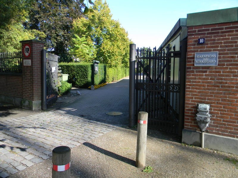
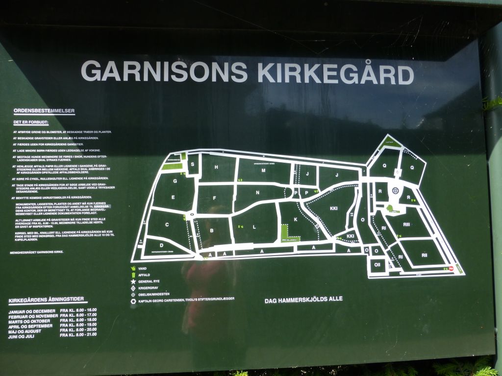
| Description | : | This cemetery is located in the north-east central part of the city of Copenhagen. The main entrance is in Hammerskolds Oslo Plads near the junction of Kristianiagade. The war grave will be located at the far left hand side of the cemetery behind the American Embassy. Take the 2nd concrete paviour path and the grave is 20m along this on the right hand side. The war grave will be located at the far left hand side of the cemetery behind the American Embassy. Take the second concrete paved path and the grave is 20 metres along on the right hand... Read More |
frequently asked questions (FAQ):
-
Where is Garnisons Kirkegård?
Garnisons Kirkegård is located at Copenhagen, Kobenhavns Kommune ,Hovedstaden ,Denmark.
-
Garnisons Kirkegård cemetery's updated grave count on graveviews.com?
0 memorials
-
Where are the coordinates of the Garnisons Kirkegård?
Latitude: 55.6937400
Longitude: 12.5849300
Nearby Cemetories:
1. Holmens Kirkegård Skibskirkegården
Osterbro, Kobenhavns Kommune, Denmark
Coordinate: 55.6943570, 12.5801520
2. Holmens Church
Copenhagen, Kobenhavns Kommune, Denmark
Coordinate: 55.6941970, 12.5800640
3. Holmens Cemetery
Copenhagen, Kobenhavns Kommune, Denmark
Coordinate: 55.6951300, 12.5802500
4. Sankt Pauls Kirke
Copenhagen, Kobenhavns Kommune, Denmark
Coordinate: 55.6877780, 12.5869440
5. Sankt Nikolaj Kirke
Copenhagen, Kobenhavns Kommune, Denmark
Coordinate: 55.6786110, 12.5816670
6. Copenhagen Cathedral
Copenhagen, Kobenhavns Kommune, Denmark
Coordinate: 55.6792810, 12.5726500
7. Sankt Petri Kirke
Copenhagen, Kobenhavns Kommune, Denmark
Coordinate: 55.6798800, 12.5701900
8. Thorvaldsen Museum
Copenhagen, Kobenhavns Kommune, Denmark
Coordinate: 55.6766750, 12.5782630
9. Assistens Cemetery
Copenhagen, Kobenhavns Kommune, Denmark
Coordinate: 55.6908330, 12.5500000
10. National Museum of Denmark
Copenhagen, Kobenhavns Kommune, Denmark
Coordinate: 55.6746480, 12.5748160
11. Christians Church Cemetery
Copenhagen, Kobenhavns Kommune, Denmark
Coordinate: 55.6723850, 12.5871720
12. Vor Frelsers Kirkegård
Kobenhavns Kommune, Denmark
Coordinate: 55.6654334, 12.6013684
13. Vor Frelsers Kirkegård
Amagerbro, Kobenhavns Kommune, Denmark
Coordinate: 55.6651552, 12.6009356
14. Sankt Mathæus Kirke
Copenhagen, Kobenhavns Kommune, Denmark
Coordinate: 55.6694530, 12.5482390
15. Mindelunden Memorial Park
Hellerup, Gentofte Kommune, Denmark
Coordinate: 55.7267080, 12.5659670
16. Frederiksberg Old Cemetery
Frederiksberg, Frederiksberg Kommune, Denmark
Coordinate: 55.6733017, 12.5348797
17. Bispebjerg Cemetery
Bispebjerg, Kobenhavns Kommune, Denmark
Coordinate: 55.7144440, 12.5291670
18. Hellerp Kirkegaard
Gentofte, Gentofte Kommune, Denmark
Coordinate: 55.7316333, 12.5567722
19. Hellerup Kirkegaard
Hellerup, Gentofte Kommune, Denmark
Coordinate: 55.7325800, 12.5596300
20. Sundby Kirkegård
Sundby, Kobenhavns Kommune, Denmark
Coordinate: 55.6567080, 12.6176480
21. Vestre Kirkegard
Copenhagen, Kobenhavns Kommune, Denmark
Coordinate: 55.6622310, 12.5342020
22. Mosaisk Vestre Begravelsesplads
Copenhagen, Kobenhavns Kommune, Denmark
Coordinate: 55.6618969, 12.5339168
23. Bronshoj Cemetery
Bronshoj, Kobenhavns Kommune, Denmark
Coordinate: 55.6614978, 12.5342708
24. Solbjerg Parkkirkegård
Frederiksberg, Frederiksberg Kommune, Denmark
Coordinate: 55.6736250, 12.5144939