
| Memorials | : | 0 |
| Location | : | Ousley, Lowndes County, USA |
| Coordinate | : | 30.7654440, -83.4161320 |
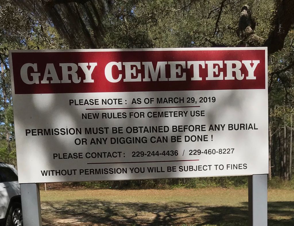
| Description | : | The cemetery may also be known as McCoggle or McCoggle-Martin cemetery. From the intersection of Rocky Ford road and Ousley Road, go north on Ousley Rd until you come to Gary Lane (a dirt road) turn right onto Gary Lane, cemetery is on the north side of road, a short distance. |
frequently asked questions (FAQ):
-
Where is Gary Lane Cemetery?
Gary Lane Cemetery is located at Ousley, Lowndes County ,Georgia ,USA.
-
Gary Lane Cemetery cemetery's updated grave count on graveviews.com?
0 memorials
-
Where are the coordinates of the Gary Lane Cemetery?
Latitude: 30.7654440
Longitude: -83.4161320
Nearby Cemetories:
1. McIntyre Family Cemetery
Ousley, Lowndes County, USA
Coordinate: 30.7483830, -83.4058320
2. Redland Cemetery
Lowndes County, USA
Coordinate: 30.7478008, -83.4049988
3. Ousley Baptist Church Cemetery
Valdosta, Lowndes County, USA
Coordinate: 30.7914180, -83.4282590
4. Taylor Cemetery
Ousley, Lowndes County, USA
Coordinate: 30.7338870, -83.4265760
5. Redland Church of Christ Cemetery
Lowndes County, USA
Coordinate: 30.7411950, -83.3824620
6. Jessup Cemetery
Ousley, Lowndes County, USA
Coordinate: 30.7865000, -83.4557000
7. Mount Zion Cemetery
Valdosta, Lowndes County, USA
Coordinate: 30.7448750, -83.3720860
8. Redland Baptist Church Cemetery
Lowndes County, USA
Coordinate: 30.7162940, -83.3853590
9. Morning Star Baptist Church Cemetery
Dixie, Brooks County, USA
Coordinate: 30.8035060, -83.4737840
10. Kinderlou Cemetery
Kinderlou, Lowndes County, USA
Coordinate: 30.8003400, -83.3556200
11. Crawford Memorial Cemetery
Valdosta, Lowndes County, USA
Coordinate: 30.7245050, -83.3516000
12. Pleasant Hill Cemetery
Pavo, Brooks County, USA
Coordinate: 30.8231850, -83.4667980
13. Welcome Hill Church of Christ Cemetery
Brooks County, USA
Coordinate: 30.8297900, -83.4648360
14. Lebanon Cemetery #1
Quitman, Brooks County, USA
Coordinate: 30.8077080, -83.4924460
15. John C. Spell Family Cemetery
Brooks County, USA
Coordinate: 30.8411430, -83.4507430
16. Philadelphia Baptist Church Cemetery
Brooks County, USA
Coordinate: 30.8203730, -83.4884560
17. Forest Grove Cemetery
Clyattville, Lowndes County, USA
Coordinate: 30.7033005, -83.3439026
18. Pallbearers Cemetery #1
Lowndes County, USA
Coordinate: 30.8239002, -83.3388977
19. Hunter Cemetery
Lowndes County, USA
Coordinate: 30.7082996, -83.3356018
20. Woods Chapel AME Church Cemetery
Valdosta, Lowndes County, USA
Coordinate: 30.7084210, -83.3333680
21. Wigelsworth Cemetery
Lowndes County, USA
Coordinate: 30.7410750, -83.3121260
22. Elam Missionary Baptist Church Cemetery
Nankin, Brooks County, USA
Coordinate: 30.6731160, -83.4338410
23. Benevolence Baptist Church Cemetery
Valdosta, Lowndes County, USA
Coordinate: 30.7237740, -83.3184790
24. Sweetfield Missionary Baptist Church Cemetery
Nankin, Brooks County, USA
Coordinate: 30.7336470, -83.5229590