
| Memorials | : | 0 |
| Location | : | Erding, Landkreis Erding, Germany |
| Website | : | www.bestattung-information.de/partner/friedhofsverwaltung-erding/ |
| Coordinate | : | 48.3100020, 11.9139750 |
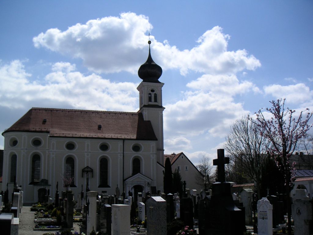
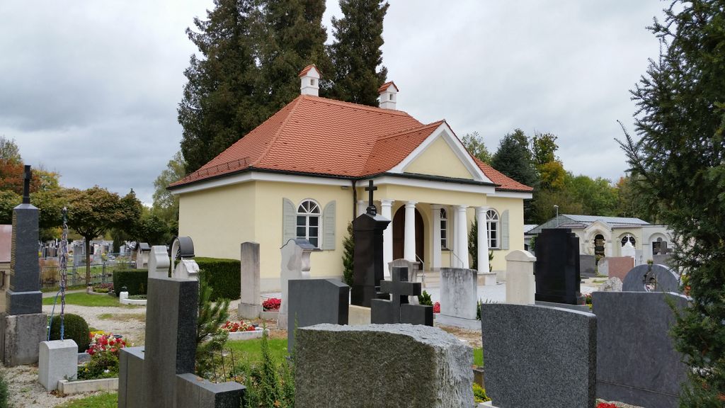
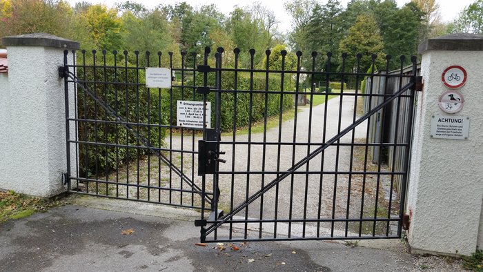
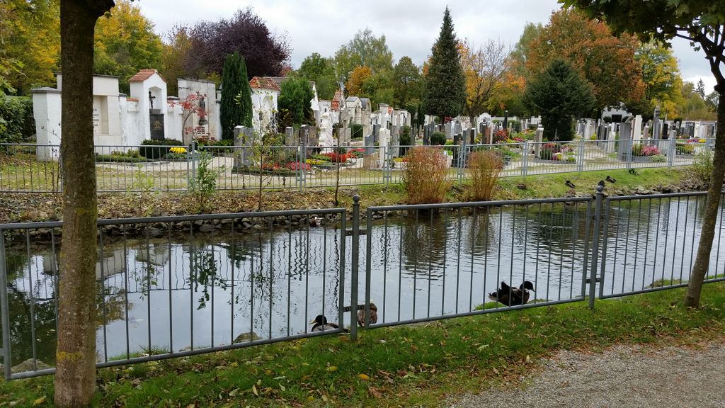
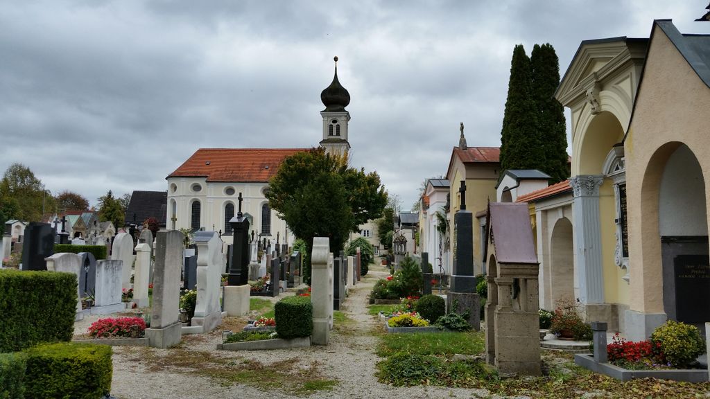
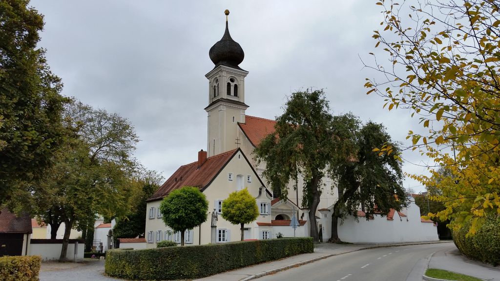
| Description | : | Cemetery located in Erding, Germany. In the St. Paul community. |
frequently asked questions (FAQ):
-
Where is Gemeindefriedhof St. Paul?
Gemeindefriedhof St. Paul is located at Sportfeldstraße Erding, Landkreis Erding ,Bavaria (Bayern) , 86435Germany.
-
Gemeindefriedhof St. Paul cemetery's updated grave count on graveviews.com?
0 memorials
-
Where are the coordinates of the Gemeindefriedhof St. Paul?
Latitude: 48.3100020
Longitude: 11.9139750
Nearby Cemetories:
1. Stadtpfarrkirche St. Johannes
Erding, Landkreis Erding, Germany
Coordinate: 48.3064500, 11.9064600
2. Altenerdinger Friedhof
Altenerding, Landkreis Erding, Germany
Coordinate: 48.2936400, 11.9053900
3. Langengeisling Kirche Friedhof
Fraunberg, Landkreis Erding, Germany
Coordinate: 48.3300600, 11.9251000
4. Städtischer Friedhof Erding
Erding, Landkreis Erding, Germany
Coordinate: 48.2928100, 11.8908300
5. Neuer Friedhof Bockhorn
Bockhorn, Landkreis Erding, Germany
Coordinate: 48.3158977, 11.9876884
6. Kirchhof Mariae Heimsuchung
Bockhorn, Landkreis Erding, Germany
Coordinate: 48.3149364, 11.9878800
7. Friedhof Hecken
Hecken, Landkreis Erding, Germany
Coordinate: 48.3260560, 11.9898930
8. Friedhof Lohkirchen
Lohkirchen, Landkreis Erding, Germany
Coordinate: 48.3595680, 11.9502340
9. Friedhof Moosinning
Moosinning, Landkreis Erding, Germany
Coordinate: 48.2709200, 11.8498300
10. Kirchfriedhof Oberding
Oberding, Landkreis Erding, Germany
Coordinate: 48.3407500, 11.8370200
11. Friedhof Kirchasch
Kirchasch, Landkreis Erding, Germany
Coordinate: 48.2887330, 11.9998490
12. Kirchhof St. Erhard
Walpertskirchen, Landkreis Erding, Germany
Coordinate: 48.2582742, 11.9765125
13. Gemeindefriedhof Hörlkofen
Horlkofen, Landkreis Erding, Germany
Coordinate: 48.2430525, 11.9362454
14. Kirchhof St. Bartholomäus
Horlkofen, Landkreis Erding, Germany
Coordinate: 48.2430309, 11.9380820
15. Kirchhof St. Stephanus
Rappoltskirchen, Landkreis Erding, Germany
Coordinate: 48.3415630, 12.0336010
16. Kirchfriedhof Eichenried
Eichenried, Landkreis Erding, Germany
Coordinate: 48.2771800, 11.7827600
17. Hörgersdorf
Hörgersdorf, Landkreis Erding, Germany
Coordinate: 48.3004700, 12.0570000
18. Kirchhof St. Georg
Ottering, Landkreis Erding, Germany
Coordinate: 48.3367926, 12.0627382
19. Friedhof Waratenberg
Wartenberg, Landkreis Erding, Germany
Coordinate: 48.4037790, 11.9896890
20. Kirchfriedhof Eicherloh
Eicherloh, Landkreis Erding, Germany
Coordinate: 48.2478900, 11.7790100
21. Hallbergmoos
Hallbergmoos, Landkreis Freising, Germany
Coordinate: 48.3278760, 11.7517980
22. Goldach Cemetery
Hallbergmoos, Landkreis Freising, Germany
Coordinate: 48.3107165, 11.7484210
23. Kirchhof St. Stephanus
Inning am Holz, Landkreis Erding, Germany
Coordinate: 48.3500155, 12.0773569
24. Kirchhof St. Georg
Oberhummel, Landkreis Freising, Germany
Coordinate: 48.4272979, 11.8736425