| Memorials | : | 0 |
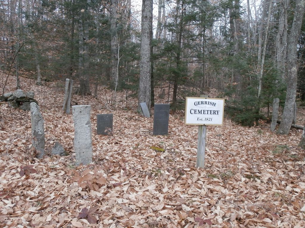
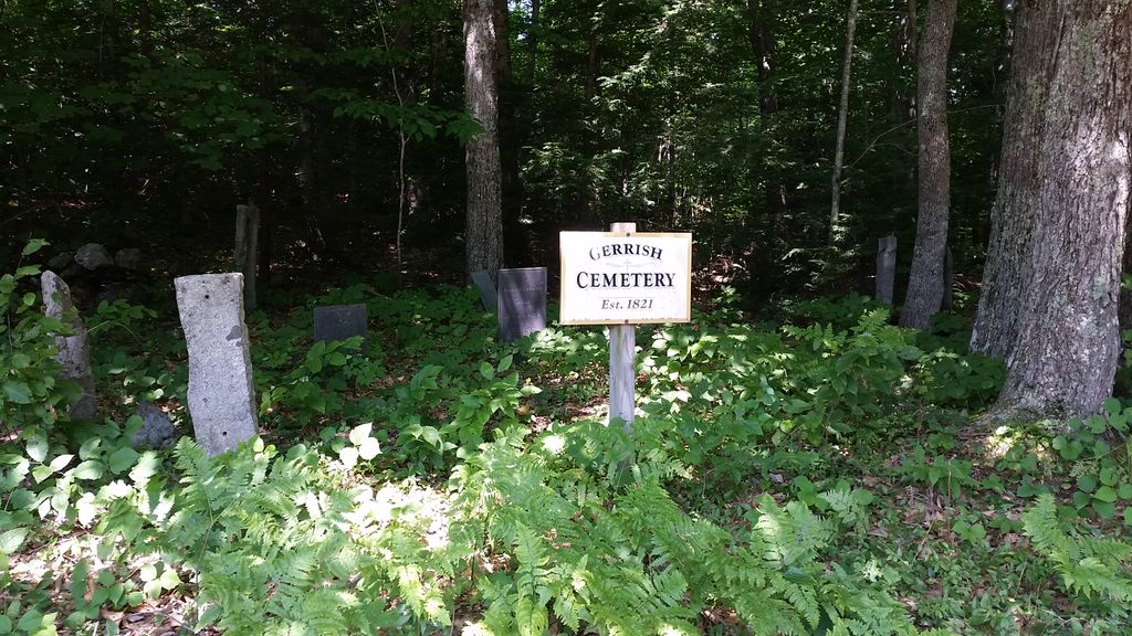
| Location | : | Durham, Androscoggin County, USA |
| Coordinate | : | 43.9302890, -70.1036310 |
| Description | : | Location. Along west side of Gerrish Lane. UTM: 19T 0411275, 4864731; Lat./Long.: N 43°55′49.3″ x W 70°06′19.3″ Directions. From the southern intersection of Routes 9 and 136, travel south on Route 136 for 3.2–3.3 miles to the intersection on the left with Reed Road. Turn left onto Reed Road and follow it for 0.2–0.3 miles to the intersection on the left with Gerrish Lane (a dirt road). Turn left onto Gerrish Lane, and the cemetery is along the left side of the road is just under 0.1 miles |
frequently asked questions (FAQ):
-
Where is Gerrish Cemetery?
Gerrish Cemetery is located at Durham, Androscoggin County ,Maine ,USA.
-
Gerrish Cemetery cemetery's updated grave count on graveviews.com?
0 memorials
-
Where are the coordinates of the Gerrish Cemetery?
Latitude: 43.9302890
Longitude: -70.1036310
Nearby Cemetories:
1. Roberts Cemetery
Durham, Androscoggin County, USA
Coordinate: 43.9297295, -70.1123428
2. Sylvester Cemetery
Durham, Androscoggin County, USA
Coordinate: 43.9431000, -70.1188965
3. Day Cemetery
Cumberland County, USA
Coordinate: 43.9247017, -70.0813980
4. Lunt Memorial Cemetery
Brunswick, Cumberland County, USA
Coordinate: 43.9333000, -70.0718994
5. Highland Cemetery
Durham, Androscoggin County, USA
Coordinate: 43.9097000, -70.1186000
6. Stetson Cemetery
Durham, Androscoggin County, USA
Coordinate: 43.9096985, -70.1185989
7. Knight-Snow Cemetery
Durham, Androscoggin County, USA
Coordinate: 43.9518270, -70.0898550
8. Friend's Cemetery
Durham, Androscoggin County, USA
Coordinate: 43.9407370, -70.0730320
9. Collins Cemetery
Freeport, Cumberland County, USA
Coordinate: 43.9071999, -70.0924988
10. Carll Cemetery
Durham, Androscoggin County, USA
Coordinate: 43.9518920, -70.1216040
11. Gerrish Family Cemetery
Durham, Androscoggin County, USA
Coordinate: 43.9606018, -70.1224976
12. Old Friends Cemetery
Cumberland County, USA
Coordinate: 43.9061012, -70.1363983
13. Goddard Cemetery
Pownal Center, Cumberland County, USA
Coordinate: 43.9129720, -70.1501850
14. Cedar Grove Cemetery
Durham, Androscoggin County, USA
Coordinate: 43.9375000, -70.1552963
15. North Freeport Cemetery
Freeport, Cumberland County, USA
Coordinate: 43.8877983, -70.0943985
16. Libby Family Cemetery
Pownal, Cumberland County, USA
Coordinate: 43.9167500, -70.1619100
17. Strout Cemetery
Durham, Androscoggin County, USA
Coordinate: 43.9707985, -70.1296997
18. Sawyer Cemetery
Durham, Androscoggin County, USA
Coordinate: 43.9728012, -70.1241989
19. Fairfield Cemetery
Durham, Androscoggin County, USA
Coordinate: 43.9692001, -70.0717010
20. Harmony Grove Cemetery
Durham, Androscoggin County, USA
Coordinate: 43.9569016, -70.1605988
21. Tuttle Cemetery
Cumberland County, USA
Coordinate: 43.8897900, -70.1494430
22. Vining Cemetery
Durham, Androscoggin County, USA
Coordinate: 43.9858017, -70.0997009
23. Jones Cemetery
Androscoggin County, USA
Coordinate: 43.9636002, -70.0406036
24. Jones Cemetery
Brunswick, Cumberland County, USA
Coordinate: 43.9637950, -70.0403070


