
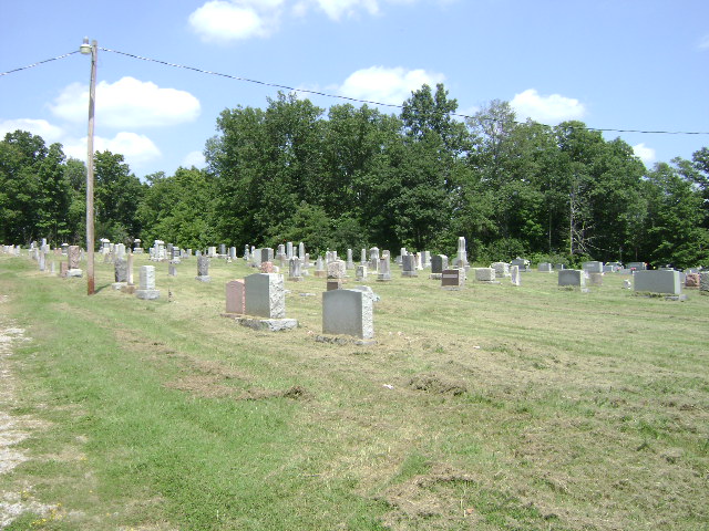
| Memorials | : | 7 |
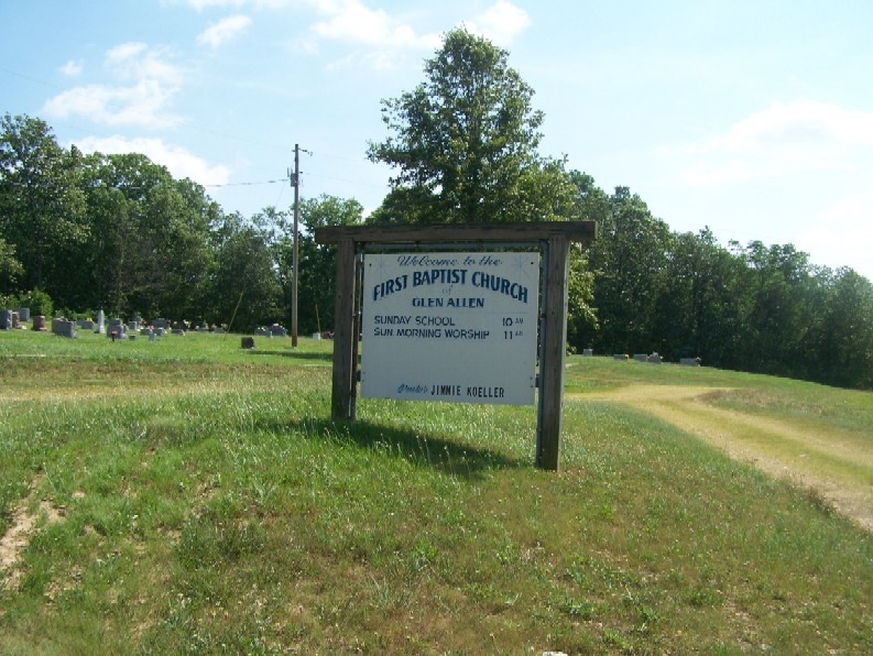
| Location | : | Glenallen, Bollinger County, USA |
| Coordinate | : | 37.3201100, -90.0320100 |
frequently asked questions (FAQ):
-
Where is Glen Allen Cemetery?
Glen Allen Cemetery is located at Glenallen, Bollinger County ,Missouri ,USA.
-
Glen Allen Cemetery cemetery's updated grave count on graveviews.com?
6 memorials
-
Where are the coordinates of the Glen Allen Cemetery?
Latitude: 37.3201100
Longitude: -90.0320100
Nearby Cemetories:
1. Upper Deck Cemetery
Glenallen, Bollinger County, USA
Coordinate: 37.3236008, -90.0444031
2. Myers Cemetery
Glenallen, Bollinger County, USA
Coordinate: 37.3171997, -90.0096970
3. Lower Deck Cemetery
Lutesville, Bollinger County, USA
Coordinate: 37.3078003, -90.0119019
4. Buehler Cemetery
Glenallen, Bollinger County, USA
Coordinate: 37.3466988, -89.9989014
5. Slaybaugh Cemetery
Lutesville, Bollinger County, USA
Coordinate: 37.2982150, -89.9851870
6. El Nathan Cemetery
Marble Hill, Bollinger County, USA
Coordinate: 37.3086710, -89.9757960
7. Marble Hill Cemetery
Marble Hill, Bollinger County, USA
Coordinate: 37.3032799, -89.9701309
8. Dry Creek Cemetery
Lutesville, Bollinger County, USA
Coordinate: 37.2675018, -90.0291977
9. Hahn Cemetery
Lutesville, Bollinger County, USA
Coordinate: 37.2886009, -89.9772034
10. Shrum Cemetery
Hurricane, Bollinger County, USA
Coordinate: 37.3751500, -90.0144800
11. Baker Cemetery
Marble Hill, Bollinger County, USA
Coordinate: 37.2722015, -89.9869003
12. McMahan Cemetery
Bessville, Bollinger County, USA
Coordinate: 37.3767014, -90.0597000
13. Shell Cemetery
Lutesville, Bollinger County, USA
Coordinate: 37.2839012, -89.9693985
14. Bollinger County Memorial Park Cemetery
Marble Hill, Bollinger County, USA
Coordinate: 37.2689018, -89.9871979
15. Wallis Cemetery
Hurricane, Bollinger County, USA
Coordinate: 37.3800011, -90.0081024
16. Shelton Cemetery
Huxie, Bollinger County, USA
Coordinate: 37.2556000, -90.0481033
17. Myers Cemetery
Huxie, Bollinger County, USA
Coordinate: 37.2677994, -90.0839005
18. Hahn Chapel Cemetery
Marble Hill, Bollinger County, USA
Coordinate: 37.3061638, -89.9492645
19. Bess Cemetery
Hurricane, Bollinger County, USA
Coordinate: 37.3807983, -89.9927979
20. Floyd Cemetery
Grassy, Bollinger County, USA
Coordinate: 37.2808647, -90.1035919
21. New Trace Creek Baptist Church Cemetery
Glenallen, Bollinger County, USA
Coordinate: 37.3307190, -90.1182785
22. Moores Cemetery
Bollinger County, USA
Coordinate: 37.3883018, -90.0522003
23. Patterson Family Cemetery
Bollinger County, USA
Coordinate: 37.2511100, -90.0107100
24. Burton Cemetery
Marble Hill, Bollinger County, USA
Coordinate: 37.3722000, -89.9697037