
| Memorials | : | 1 |
| Location | : | Newry, Oconee County, USA |
| Coordinate | : | 34.7218167, -83.9072833 |
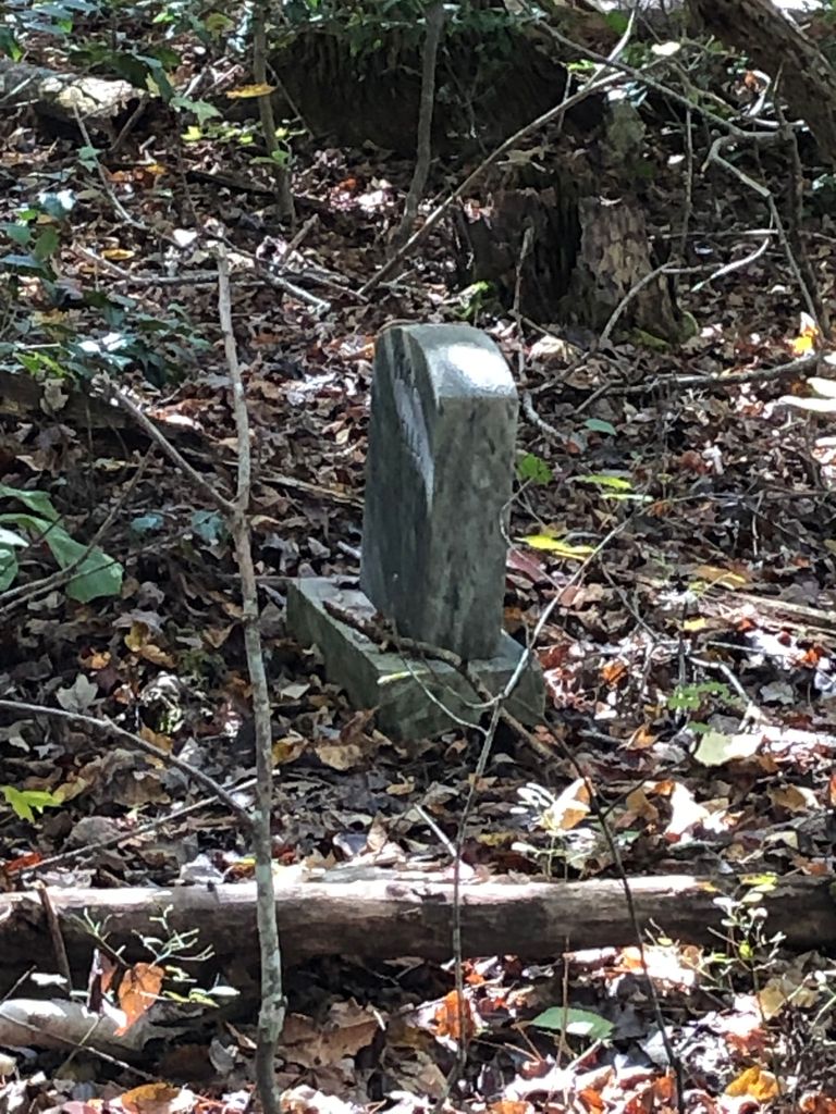
| Description | : | (20-30) Graves Marked With Field Stones CEMETERY LOCATION: ------------------ Locate the intersection of Highways 123 & 130. Drive 1.1 miles north on Highway 130. Turn right on Old Clemson Highway and drive 0.1 miles. Turn left on Newry Road (SR 37-203). Drive 1.8 miles to Sub Station Road. (This road is like a letter J) Park at intersection and walk several hundred feet on Sub Station Road. You should see a 4' wide path leading up a 515' high hill. Scattered graves are located at the top of this hill. Latitude N 34 43.309 x Longitude W 83 54.437 |
frequently asked questions (FAQ):
-
Where is God' Acre Memorial?
God' Acre Memorial is located at Newry, Oconee County ,South Carolina ,USA.
-
God' Acre Memorial cemetery's updated grave count on graveviews.com?
1 memorials
-
Where are the coordinates of the God' Acre Memorial?
Latitude: 34.7218167
Longitude: -83.9072833
Nearby Cemetories:
1. Corinth Baptist Church Cemetery
Turners Corner, Lumpkin County, USA
Coordinate: 34.6778300, -83.9053650
2. Mount Pisgah Baptist Church Cemetery
Dahlonega, Lumpkin County, USA
Coordinate: 34.6607520, -83.9101550
3. The Old Place Cemetery
Dahlonega, Lumpkin County, USA
Coordinate: 34.6489000, -83.9163500
4. Welcome Worship Center Church Cemetery
Dahlonega, Lumpkin County, USA
Coordinate: 34.6417490, -83.9142270
5. Damascus Baptist Church Cemetery
Dahlonega, Lumpkin County, USA
Coordinate: 34.6291410, -83.8987310
6. Woody Family Cemetery
Dahlonega, Lumpkin County, USA
Coordinate: 34.6511870, -83.9919680
7. Trahlyta Gravesite
Dahlonega, Lumpkin County, USA
Coordinate: 34.6274580, -83.9549860
8. Macedonia Baptist Church Cemetery
Dahlonega, Lumpkin County, USA
Coordinate: 34.6162400, -83.9251300
9. Frogtown Winery Cemetery
Dahlonega, Lumpkin County, USA
Coordinate: 34.6130560, -83.8708330
10. New Harmony Church Cemetery
East Ellijay, Gilmer County, USA
Coordinate: 34.8333060, -83.9395700
11. Rock Springs Methodist Church Cemetery
Lumpkin County, USA
Coordinate: 34.5981660, -83.9247310
12. Yahoola Baptist Church Cemetery
Dahlonega, Lumpkin County, USA
Coordinate: 34.6141500, -83.9832880
13. Community Chapel Church Cemetery
Dahlonega, Lumpkin County, USA
Coordinate: 34.5943720, -83.8939320
14. Cradle Mountain Baptist Church Cemetery
Dahlonega, Lumpkin County, USA
Coordinate: 34.5890510, -83.8783950
15. Cane Creek Baptist Church Cemetery
Dahlonega, Lumpkin County, USA
Coordinate: 34.6089950, -84.0219390
16. Concord Baptist Church Cemetery
Dahlonega, Lumpkin County, USA
Coordinate: 34.5724880, -83.9680430
17. Davis Cemetery
Cooper Creek, Fannin County, USA
Coordinate: 34.7600780, -84.0957300
18. Salem Baptist Church Cemetery
Dahlonega, Lumpkin County, USA
Coordinate: 34.5831080, -84.0057100
19. Cavenders Creek Baptist Church Cemetery
Dahlonega, Lumpkin County, USA
Coordinate: 34.5601400, -83.9286900
20. Philippi Baptist Church Cemetery
Dahlonega, Lumpkin County, USA
Coordinate: 34.5596123, -83.8898010
21. Healan Family Cemetery
Dahlonega, Lumpkin County, USA
Coordinate: 34.6291030, -84.0701530
22. Bethel Tabernacle Baptist Church Cemetery
Dahlonega, Lumpkin County, USA
Coordinate: 34.5662670, -83.9666000
23. Bethlehem Baptist Church Cemetery
Dahlonega, Lumpkin County, USA
Coordinate: 34.5715320, -84.0116390
24. Pleasant Hill Baptist Cemetery
Dahlonega, Lumpkin County, USA
Coordinate: 34.6069460, -84.0653750