
| Memorials | : | 1 |
| Location | : | Strong, Union County, USA |
| Coordinate | : | 33.0129000, -92.3448000 |
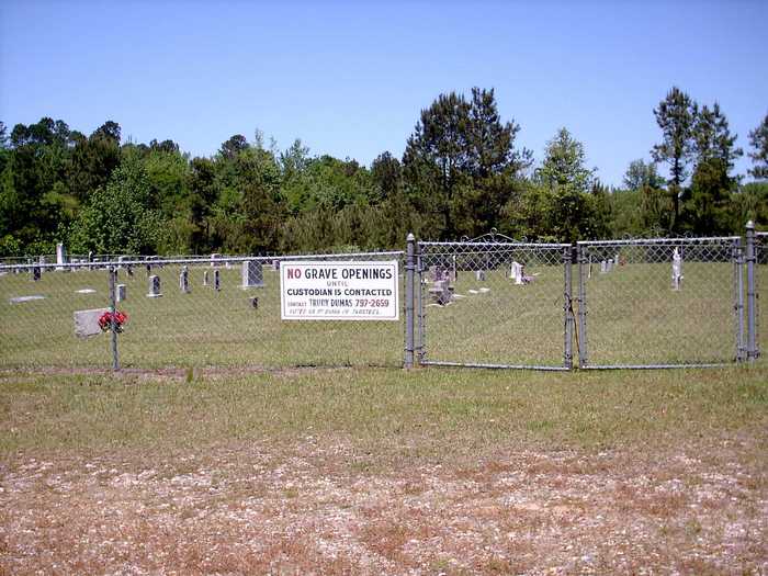
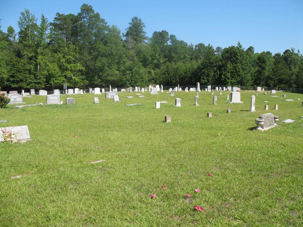
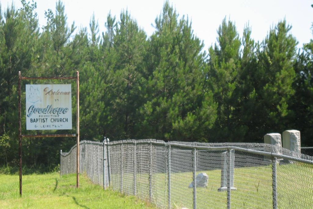
| Description | : | The cemetery has a fence and a sign for the old church. The first visit I made to this cemetery about 1990, the cemetery had fallen into despair. It has had a revision since that time. The old church still stands and it has not been used for many years. The earliest death date found in the listing is 1863. However, some of these folks were here before 1860. This site is located close to the Louisiana state line and many of the folks buried here had lived on both sides of the line. |
frequently asked questions (FAQ):
-
Where is Good Hope Primitive Baptist Church Cemetery?
Good Hope Primitive Baptist Church Cemetery is located at Oakland Road Strong, Union County ,Arkansas , 71765USA.
-
Good Hope Primitive Baptist Church Cemetery cemetery's updated grave count on graveviews.com?
1 memorials
-
Where are the coordinates of the Good Hope Primitive Baptist Church Cemetery?
Latitude: 33.0129000
Longitude: -92.3448000
Nearby Cemetories:
1. Spring Hill Cemetery
Union Parish, USA
Coordinate: 33.0050011, -92.3653030
2. Springhill African American Cemetery
Oakland, Union Parish, USA
Coordinate: 33.0052940, -92.3658390
3. Sweet Home Cemetery
Strong, Union County, USA
Coordinate: 33.0572400, -92.3387000
4. Free Hope Cemetery
Aurelle, Union County, USA
Coordinate: 33.0390500, -92.3907000
5. Green Canterberry Cemetery
Union Parish, USA
Coordinate: 32.9739950, -92.3880570
6. Forest Hill Cemetery
Aurelle, Union County, USA
Coordinate: 33.0619011, -92.3771973
7. Teel Cemetery
Strong, Union County, USA
Coordinate: 33.0760000, -92.3172000
8. Hughes Cemetery
Strong, Union County, USA
Coordinate: 33.0777500, -92.3722000
9. Cook Cemetery
Union Parish, USA
Coordinate: 32.9488983, -92.3768997
10. Perkins - Green Family Cemetery
Truxno, Union Parish, USA
Coordinate: 32.9488983, -92.3768997
11. Pratt-Dobbs Cemetery
Strong, Union County, USA
Coordinate: 33.0856800, -92.3494500
12. Union Cemetery
Sadie, Union Parish, USA
Coordinate: 33.0032997, -92.2583008
13. Union Cemetery
Marion, Union Parish, USA
Coordinate: 33.0031345, -92.2576905
14. Birds Chapel Cemetery
Union Parish, USA
Coordinate: 32.9514008, -92.3974991
15. Pine Grove Cemetery
Strong, Union County, USA
Coordinate: 33.0802000, -92.4035200
16. Strong Cemetery
Strong, Union County, USA
Coordinate: 33.0964012, -92.3589020
17. Shute Family Cemetery
Union Parish, USA
Coordinate: 32.9457420, -92.4080470
18. Old Tennessee Cemetery
Union Parish, USA
Coordinate: 32.9247017, -92.3499985
19. Antioch Cemetery
Truxno, Union Parish, USA
Coordinate: 32.9247860, -92.3529080
20. Batts Chapel Cemetery
Huttig, Union County, USA
Coordinate: 33.0722008, -92.2632980
21. County Line Cemetery
Spearsville, Union Parish, USA
Coordinate: 32.9828950, -92.4491680
22. Crestview Cemetery
Farmerville, Union Parish, USA
Coordinate: 32.9828950, -92.4491680
23. Pilgrims Rest Cemetery
Strong, Union County, USA
Coordinate: 33.1028000, -92.3740000
24. Mount Union Memorial Gardens
Marion, Union Parish, USA
Coordinate: 32.9315240, -92.2775130