
| Memorials | : | 0 |
| Location | : | Cokato, Wright County, USA |
| Coordinate | : | 45.0658800, -94.1749600 |
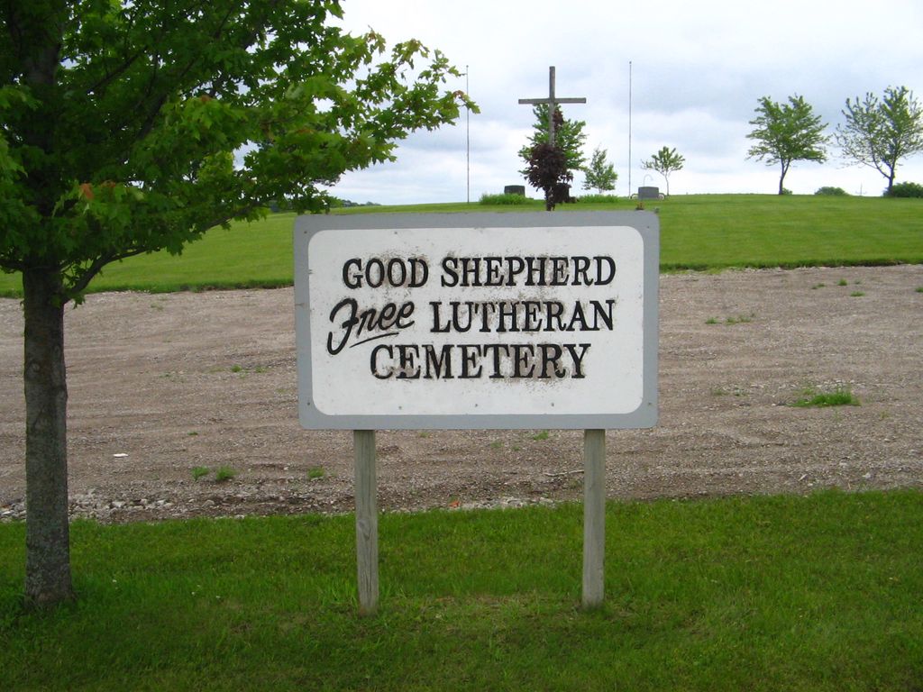
| Description | : | The Good Shepherd Free Lutheran Church Cemetery is a newer cemetery with only a few internments. The cemetery is located on the NE corner of Oliver Avenue SW and 60th Street SW, across the street from the church. |
frequently asked questions (FAQ):
-
Where is Good Shepherd Free Lutheran Church Cemetery?
Good Shepherd Free Lutheran Church Cemetery is located at Oliver Avenue SW Cokato, Wright County ,Minnesota ,USA.
-
Good Shepherd Free Lutheran Church Cemetery cemetery's updated grave count on graveviews.com?
0 memorials
-
Where are the coordinates of the Good Shepherd Free Lutheran Church Cemetery?
Latitude: 45.0658800
Longitude: -94.1749600
Nearby Cemetories:
1. Cokato Cemetery
Cokato, Wright County, USA
Coordinate: 45.0782190, -94.1755840
2. Lutheran Cemetery
Cokato, Wright County, USA
Coordinate: 45.0838270, -94.1946790
3. Watson Cemetery
Cokato, Wright County, USA
Coordinate: 45.0868988, -94.1583023
4. Smith Lake Cemetery
Cokato, Wright County, USA
Coordinate: 45.0825700, -94.1292300
5. First Baptist Cemetery
Cokato, Wright County, USA
Coordinate: 45.1027750, -94.1901760
6. Stockholm Township Cemetery
Stockholm, Wright County, USA
Coordinate: 45.0359993, -94.2149963
7. Stockholm Lutheran Church Cemetery
Stockholm, Wright County, USA
Coordinate: 45.0362670, -94.2201200
8. Bethel Cemetery
Wright County, USA
Coordinate: 45.1082993, -94.1335983
9. Cokato Finnish Apostolic Lutheran Cemetery
Cokato, Wright County, USA
Coordinate: 45.1249550, -94.2145600
10. Cokato Finnish Cemetery
Cokato, Wright County, USA
Coordinate: 45.1241670, -94.2183330
11. Howard Lake Cemetery
Howard Lake, Wright County, USA
Coordinate: 45.0520750, -94.0681730
12. Reinmuth Cemetery
Howard Lake, Wright County, USA
Coordinate: 45.0797600, -94.0669300
13. Saint James Lutheran Cemetery
Howard Lake, Wright County, USA
Coordinate: 45.0477982, -94.0556030
14. Steelesville Cemetery
Dassel, Meeker County, USA
Coordinate: 45.0518990, -94.3016968
15. Gethsemane Lutheran Cemetery
Dassel, Meeker County, USA
Coordinate: 45.0374100, -94.2968000
16. Sylvan Cemetery
Howard Lake, Wright County, USA
Coordinate: 45.1388530, -94.0952560
17. Pioneer County Cemetery
Dassel, Meeker County, USA
Coordinate: 45.0222190, -94.2917920
18. North Crow River Lutheran Cemetery
Knapp, Wright County, USA
Coordinate: 45.1524040, -94.2288820
19. Dassel Community Cemetery
Dassel, Meeker County, USA
Coordinate: 45.0895270, -94.3046100
20. Crow River Cemetery
French Lake, Wright County, USA
Coordinate: 45.1645670, -94.1945190
21. Albion Evangelical Free Church Cemetery
Wright County, USA
Coordinate: 45.1598015, -94.1240997
22. Lamson Cemetery
Lamson, Meeker County, USA
Coordinate: 44.9920530, -94.2792230
23. Little Swan Lake Cemetery
Dassel, Meeker County, USA
Coordinate: 45.1310997, -94.2960968
24. Riverside Cemetery
French Lake, Wright County, USA
Coordinate: 45.1781006, -94.1896973