
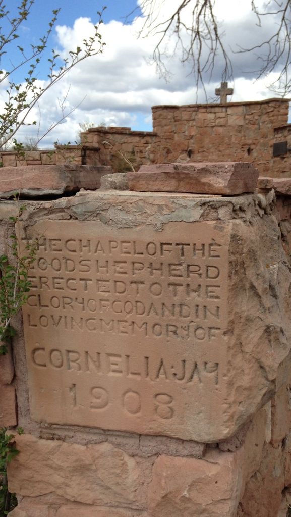
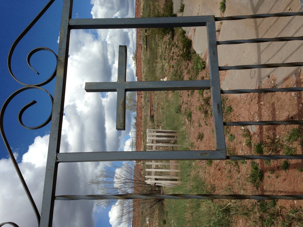
| Memorials | : | 0 |
| Location | : | Fort Defiance, Apache County, USA |
| Coordinate | : | 35.7429100, -109.0705680 |
frequently asked questions (FAQ):
-
Where is Good Shepherd Mission Cemetery?
Good Shepherd Mission Cemetery is located at Fort Defiance, Apache County ,Arizona ,USA.
-
Good Shepherd Mission Cemetery cemetery's updated grave count on graveviews.com?
0 memorials
-
Where are the coordinates of the Good Shepherd Mission Cemetery?
Latitude: 35.7429100
Longitude: -109.0705680
Nearby Cemetories:
1. Navajo Veterans Cemetery
Fort Defiance, Apache County, USA
Coordinate: 35.7226600, -109.0553390
2. Saint Michaels Cemetery
Saint Michaels, Apache County, USA
Coordinate: 35.6431900, -109.0986900
3. Sawmill Community Cemetery
Sawmill, Apache County, USA
Coordinate: 35.8991700, -109.1614400
4. Lone Pine Cemetery
Mexican Springs, McKinley County, USA
Coordinate: 35.8258018, -108.8771973
5. Tohatchi Cemetery
Tohatchi, McKinley County, USA
Coordinate: 35.8626080, -108.7582670
6. Sunset Memorial Park
Gallup, McKinley County, USA
Coordinate: 35.5028770, -108.8443640
7. Gallup City Cemetery
Gallup, McKinley County, USA
Coordinate: 35.5016320, -108.8400220
8. Kinlichee Cemetery
Kinlichee, Apache County, USA
Coordinate: 35.7427370, -109.4530700
9. Crystal Cemetery
San Juan County, USA
Coordinate: 36.0435500, -108.9690200
10. Hemstreet Family Cemetery
Crystal, San Juan County, USA
Coordinate: 36.0505700, -108.9890000
11. Bowman Memorial Park
Apache County, USA
Coordinate: 35.4192009, -109.1072006
12. Hillcrest Cemetery
Gallup, McKinley County, USA
Coordinate: 35.5214005, -108.7525024
13. Cathedral of the Sacred Heart Crypt
Gallup, McKinley County, USA
Coordinate: 35.5258450, -108.7357330
14. Gallup State Veterans Cemetery
Gallup, McKinley County, USA
Coordinate: 35.5358950, -108.7086870
15. Family Cemeteries
Apache County, USA
Coordinate: 35.3595472, -109.0677722
16. Ganado Community Cemetery
Ganado, Apache County, USA
Coordinate: 35.6991997, -109.5413971
17. Ganado Mission Cemetery
Ganado, Apache County, USA
Coordinate: 35.7095310, -109.5452160
18. Little Whiskey Creek Cemetery
Crystal, San Juan County, USA
Coordinate: 36.1269300, -109.0032600
19. Hubbell Hill Cemetery
Ganado, Apache County, USA
Coordinate: 35.7110170, -109.5613780
20. Rehoboth Mission Cemetery
Rehoboth, McKinley County, USA
Coordinate: 35.5286640, -108.6540990
21. Klagetoh Cemetery
Klagetoh, Apache County, USA
Coordinate: 35.5042100, -109.5193200
22. Naschitti Cemetery
Naschitti, San Juan County, USA
Coordinate: 36.0662500, -108.6823800
23. Wide Ruins Cemetery
Wide Ruins, Apache County, USA
Coordinate: 35.4184580, -109.4910190
24. New Houck Veteran and Community Cemetery
Houck, Apache County, USA
Coordinate: 35.2791732, -109.1883917