
| Memorials | : | 3007 |
| Location | : | Goulburn, Goulburn Mulwaree Council, Australia |
| Coordinate | : | -34.7442800, 149.7541200 |
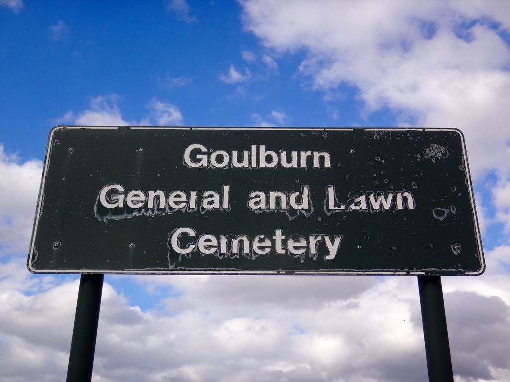
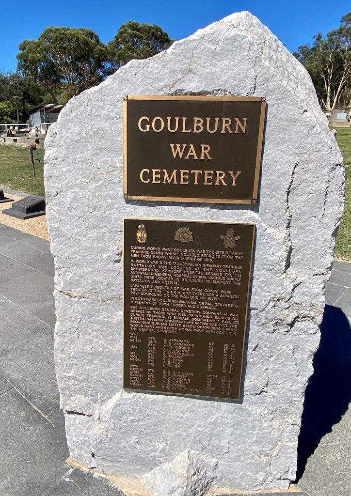
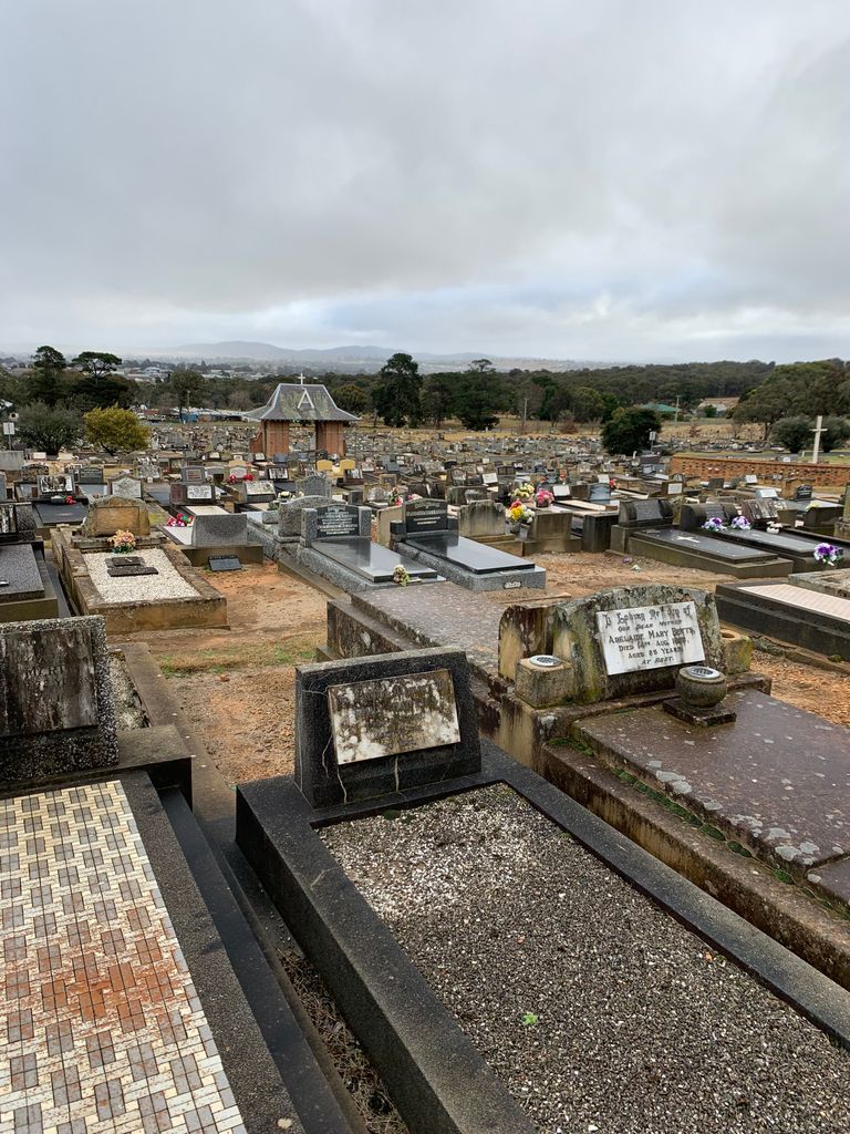
| Description | : | The Goulburn General Cemetery commenced operation circa 1903, and is administered by the Goulburn Mulwaree Council. It is divided into different portions: Church of England, Methodist, Presbyterian, Baptist Salvation Army, Seventh Day Adventist, Interdenominational, Undenominational, a War Grave section, and a Lawn Section, as well as niche walls: Helen Gulson Memorial Wall, the Banksia Wall, Waratah Wall and Wattle Wall. |
frequently asked questions (FAQ):
-
Where is Goulburn General Cemetery?
Goulburn General Cemetery is located at Gorman Rd., backed by Sydney Rd. Goulburn, Goulburn Mulwaree Council ,New South Wales , 2580Australia.
-
Goulburn General Cemetery cemetery's updated grave count on graveviews.com?
48 memorials
-
Where are the coordinates of the Goulburn General Cemetery?
Latitude: -34.7442800
Longitude: 149.7541200
Nearby Cemetories:
1. Saint Saviours Anglican Cemetery
Goulburn, Goulburn Mulwaree Council, Australia
Coordinate: -34.7406960, 149.7432970
2. Goulburn Old Cemetery
Goulburn, Goulburn Mulwaree Council, Australia
Coordinate: -34.7444690, 149.7378160
3. Goulburn Jewish Cemetery
Goulburn, Goulburn Mulwaree Council, Australia
Coordinate: -34.7551950, 149.7433550
4. Kenmore Mental Hospital Cemetery
Kenmore, Goulburn Mulwaree Council, Australia
Coordinate: -34.7187600, 149.7554470
5. Kenmore Roman Catholic Cemetery
Goulburn, Goulburn Mulwaree Council, Australia
Coordinate: -34.7244290, 149.7319710
6. Saint Saviours Cathedral Churchyard
Goulburn, Goulburn Mulwaree Council, Australia
Coordinate: -34.7531700, 149.7159700
7. Sts Peter & Paul Old Cathedral
Goulburn, Goulburn Mulwaree Council, Australia
Coordinate: -34.7556340, 149.7150370
8. St Patricks College (now Trinity Catholic College)
Goulburn, Goulburn Mulwaree Council, Australia
Coordinate: -34.7492240, 149.6969980
9. St Johns Anglican Churchyard
Towrang, Goulburn Mulwaree Council, Australia
Coordinate: -34.6956160, 149.8507090
10. St. Andrew's Cemetery
Tirrannaville, Goulburn Mulwaree Council, Australia
Coordinate: -34.8181980, 149.6833340
11. Thurlow Methodist Church
Baw Baw, Goulburn Mulwaree Council, Australia
Coordinate: -34.7086590, 149.6179610
12. St. Mary Cemetery
Yarra, Goulburn Mulwaree Council, Australia
Coordinate: -34.7973480, 149.6142910
13. Merrilla Cemetery
Goulburn, Goulburn Mulwaree Council, Australia
Coordinate: -34.7486220, 149.5993750
14. St James Anglican Cemetery
Pomeroy, Goulburn Mulwaree Council, Australia
Coordinate: -34.7488140, 149.5993110
15. Merrilla Methodist Cemetery
Merrilla, Goulburn Mulwaree Council, Australia
Coordinate: -34.7428100, 149.5785790
16. Komungla General Cemetery
Komungla, Goulburn Mulwaree Council, Australia
Coordinate: -34.8784540, 149.6404940
17. Mummell Catholic cemetery
Mummel, Goulburn Mulwaree Council, Australia
Coordinate: -34.6680260, 149.5499320
18. Murrel Cemetery
Mummel, Goulburn Mulwaree Council, Australia
Coordinate: -34.6680600, 149.5498400
19. Marulan Anglican Cemetery
Marulan, Goulburn Mulwaree Council, Australia
Coordinate: -34.7318400, 149.9817200
20. Parkesbourne Methodist Cemetery
Parkesbourne, Goulburn Mulwaree Council, Australia
Coordinate: -34.7588220, 149.5222900
21. Marulan Catholic Cemetery
Marulan, Goulburn Mulwaree Council, Australia
Coordinate: -34.7281400, 149.9862120
22. Christ Church Anglican Churchyard
Bungonia, Goulburn Mulwaree Council, Australia
Coordinate: -34.8590005, 149.9432472
23. Brayton Cemetery
Brayton, Goulburn Mulwaree Council, Australia
Coordinate: -34.6469020, 149.9595130
24. Bungonia Cemetery
Bungonia, Goulburn Mulwaree Council, Australia
Coordinate: -34.8632150, 149.9422700