
| Memorials | : | 0 |
| Location | : | Sciota, Monroe County, USA |
| Coordinate | : | 40.9109000, -75.3094000 |
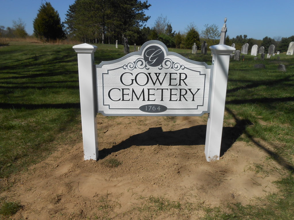
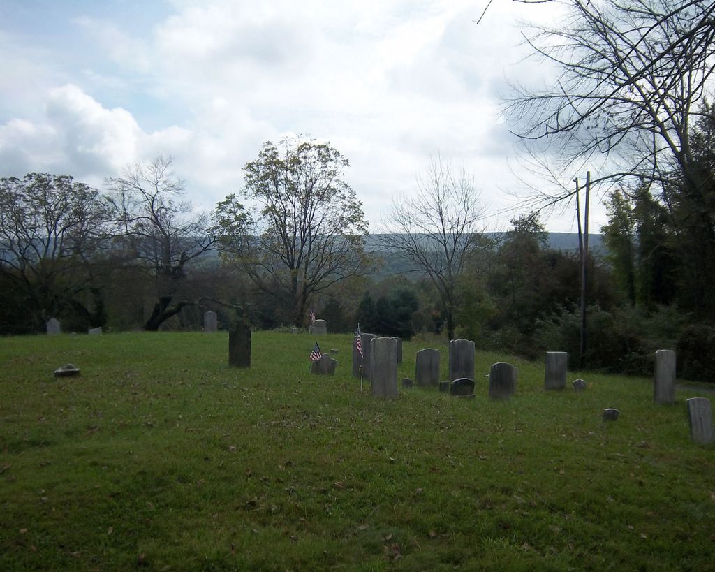
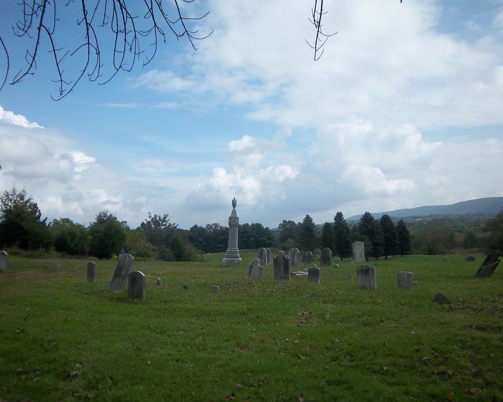
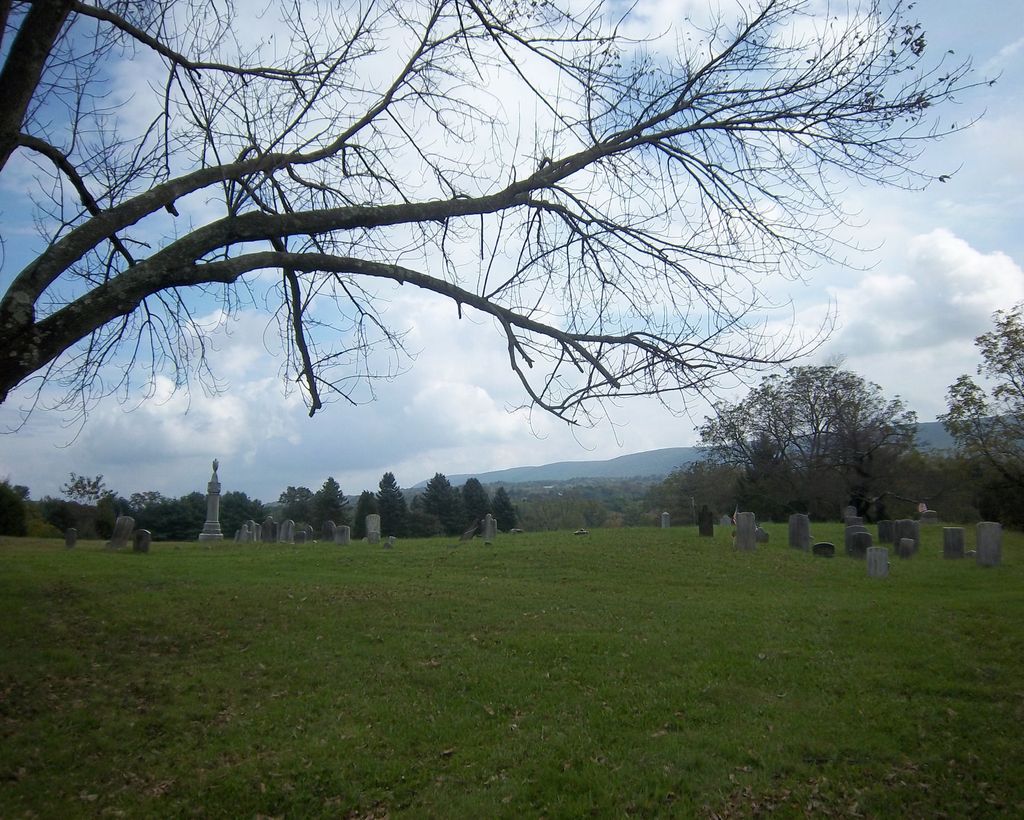
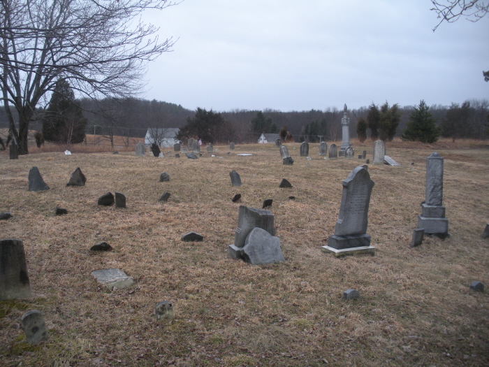
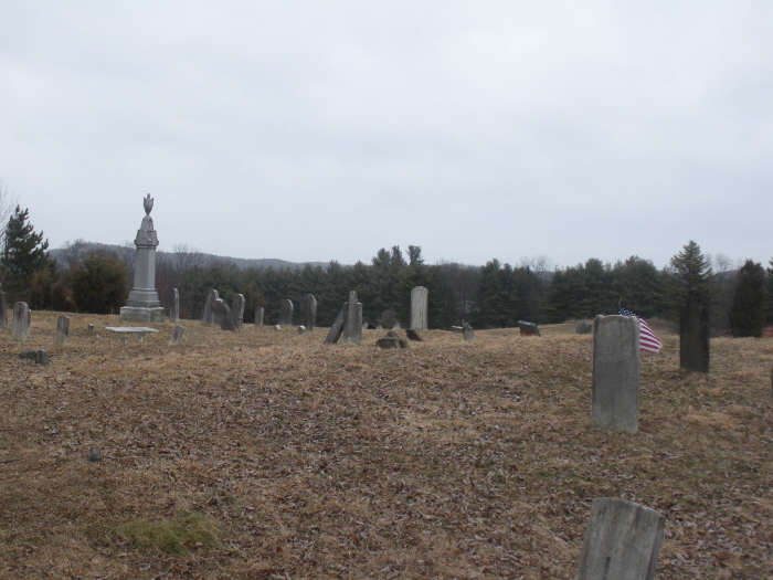
| Description | : | Aka. Altemose's Church, Butts/Butz Run. Located south of Sciota on the edge of the Blue Mountain Golf Course. From Sciota, drive south toward Saylorsburg. About 6/10 of a mile past the Township School, turn left in the Golf Course entrance road. The cemetery is on the left about 1/10 of a mile. The earliest tombstone here is that of Schalotta Altemus, who died in 1806, wife of Nicholas. The last burial took place in 1914. Families buried here are Altemus, Barrier, Fleyt, Gower, Lessig, Meixell, Remel, Sandt, Shafer, and Werkheiser. This burial ground is well maintained even though not in... Read More |
frequently asked questions (FAQ):
-
Where is Gower Cemetery?
Gower Cemetery is located at Sciota, Monroe County ,Pennsylvania ,USA.
-
Gower Cemetery cemetery's updated grave count on graveviews.com?
0 memorials
-
Where are the coordinates of the Gower Cemetery?
Latitude: 40.9109000
Longitude: -75.3094000
Nearby Cemetories:
1. Arnold Family Burial Grounds
Monroe County, USA
Coordinate: 40.9176800, -75.3074230
2. Brick Church Cemetery
Saylorsburg, Monroe County, USA
Coordinate: 40.8976000, -75.3265000
3. Lake View Cemetery
Saylorsburg, Monroe County, USA
Coordinate: 40.8972015, -75.3264008
4. Christ Hamilton Lutheran Cemetery
Hamilton Square, Monroe County, USA
Coordinate: 40.9259000, -75.2899000
5. Mount Zion Cemetery
Sciota, Monroe County, USA
Coordinate: 40.9322014, -75.2988968
6. Bossard-Heller Family Cemetery
Hamilton Square, Monroe County, USA
Coordinate: 40.9274770, -75.2832090
7. Kellersville Methodist Church Cemetery
Kellersville, Monroe County, USA
Coordinate: 40.9446000, -75.2997000
8. Mount Eaton Cemetery
Saylorsburg, Monroe County, USA
Coordinate: 40.8817164, -75.3351657
9. Neola Methodist Church Cemetery
Monroe County, USA
Coordinate: 40.9509720, -75.3333350
10. Saint John's Cemetery
Neola, Monroe County, USA
Coordinate: 40.9511000, -75.3334000
11. Miller Family Burial Ground
Stroudsburg, Monroe County, USA
Coordinate: 40.9499891, -75.2797181
12. Green Ridge Cemetery
Brodheadsville, Monroe County, USA
Coordinate: 40.9275017, -75.3692017
13. Cherry Valley United Methodist Church Cemetery
Monroe County, USA
Coordinate: 40.9375000, -75.2543000
14. Old Brodheadsville Cemetery
Brodheadsville, Monroe County, USA
Coordinate: 40.9254000, -75.3810000
15. Buena Vista Cemetery
Brodheadsville, Monroe County, USA
Coordinate: 40.9258000, -75.3818000
16. Saint Roch's Parish Church Cemetery
West Bangor, Northampton County, USA
Coordinate: 40.8785720, -75.2417030
17. Saint Josephs Cemetery
West Bangor, Northampton County, USA
Coordinate: 40.8785450, -75.2410080
18. Saint Marys Cemetery
Wind Gap, Northampton County, USA
Coordinate: 40.8525000, -75.2856500
19. Storm Family Burial Ground
Snydersville, Monroe County, USA
Coordinate: 40.9665985, -75.2689209
20. Saint Elizabeths Cemetery
Pen Argyl, Northampton County, USA
Coordinate: 40.8686000, -75.2433000
21. Bruch Cemetery
Wind Gap, Northampton County, USA
Coordinate: 40.8480901, -75.2810064
22. Evergreen Cemetery
Pen Argyl, Northampton County, USA
Coordinate: 40.8511000, -75.2592000
23. New Catholic Cemetery
Roseto, Northampton County, USA
Coordinate: 40.8831200, -75.2214300
24. Fairview Cemetery
Pen Argyl, Northampton County, USA
Coordinate: 40.8614006, -75.2397003