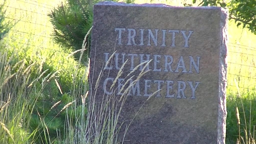
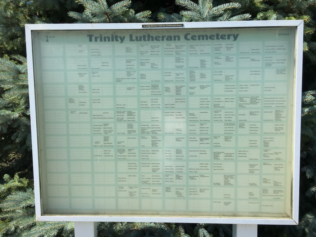
| Memorials | : | 188 |
| Location | : | Ida Grove, Ida County, USA |
| Coordinate | : | 42.2242012, -95.4569016 |
| Description | : | The cemetery is located about 400 feet south of 330th Street (County Road D54) about 0.1 miles east of its intersection with Keystone Avenue. The U.S. Geological Survey (USGS) Geographic Names Information System (GNIS) feature ID for the cemetery is 457057 (Grant Cemetery). |
frequently asked questions (FAQ):
-
Where is Grant Township Cemetery?
Grant Township Cemetery is located at 330th Street (County Road D54) Ida Grove, Ida County ,Iowa , 51461USA.
-
Grant Township Cemetery cemetery's updated grave count on graveviews.com?
125 memorials
-
Where are the coordinates of the Grant Township Cemetery?
Latitude: 42.2242012
Longitude: -95.4569016
Nearby Cemetories:
1. Otter Creek Cemetery
Otter Creek Township, Crawford County, USA
Coordinate: 42.1749180, -95.4310208
2. Hayes Chapel Cemetery
Ida Grove, Ida County, USA
Coordinate: 42.2723897, -95.4215386
3. Morgan Cemetery
Schleswig, Crawford County, USA
Coordinate: 42.1394005, -95.4403000
4. Lehfeldt Cemetery
Kiron, Crawford County, USA
Coordinate: 42.1458170, -95.3724972
5. Hayes Township Cemetery
Arthur, Ida County, USA
Coordinate: 42.2943993, -95.3427963
6. Bethel Cemetery
Kiron, Crawford County, USA
Coordinate: 42.2192001, -95.3043976
7. Kiron Cemetery
Kiron, Crawford County, USA
Coordinate: 42.1817017, -95.3133011
8. Saint Paul Lutheran Church Cemetery
Ricketts, Crawford County, USA
Coordinate: 42.1215000, -95.5265000
9. Ida Grove Catholic Cemetery
Ida Grove, Ida County, USA
Coordinate: 42.3502998, -95.4966965
10. Settlers Cemetery
Ida Grove, Ida County, USA
Coordinate: 42.3544980, -95.4838380
11. Ida Grove Cemetery
Ida Grove, Ida County, USA
Coordinate: 42.3560982, -95.4516983
12. Bockelmann Family Cemetery
Charter Oak, Crawford County, USA
Coordinate: 42.0954020, -95.5357330
13. Immanuel Lutheran Cemetery
Crawford County, USA
Coordinate: 42.1385000, -95.6133000
14. Mount Hope Cemetery
Battle Creek, Ida County, USA
Coordinate: 42.3210983, -95.6091995
15. Saint John Lutheran Church Cemetery
Crawford County, USA
Coordinate: 42.1780000, -95.2650000
16. Deloit Cemetery
Deloit, Crawford County, USA
Coordinate: 42.1075325, -95.3136520
17. Hartliben Cemetery
Mapleton, Monona County, USA
Coordinate: 42.1967010, -95.6707993
18. Saint Paul Cemetery
Charter Oak, Crawford County, USA
Coordinate: 42.0802994, -95.5757980
19. Saint Martins Catholic Cemetery
Odebolt, Sac County, USA
Coordinate: 42.2985573, -95.2481842
20. Odebolt Cemetery
Odebolt, Sac County, USA
Coordinate: 42.2985992, -95.2469025
21. Saint Johns Lutheran Cemetery
Charter Oak, Crawford County, USA
Coordinate: 42.0833015, -95.5942001
22. Saint Boniface Cemetery
Charter Oak, Crawford County, USA
Coordinate: 42.0825005, -95.5943985
23. Charter Oak Cemetery
Charter Oak, Crawford County, USA
Coordinate: 42.0814018, -95.5942001
24. Liston Township Cemetery
Danbury, Woodbury County, USA
Coordinate: 42.2468987, -95.7182999


