
| Memorials | : | 0 |
| Location | : | Coventry, Kent County, USA |
| Phone | : | (401) 821-8630 |
| Coordinate | : | 41.6942900, -71.5421100 |
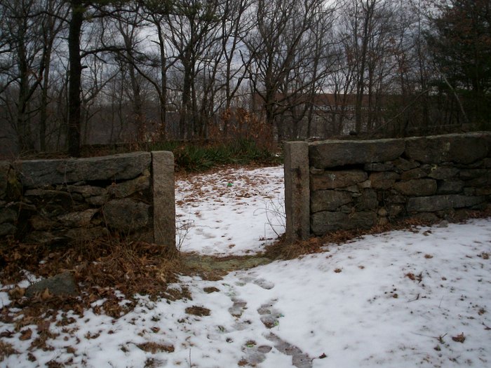
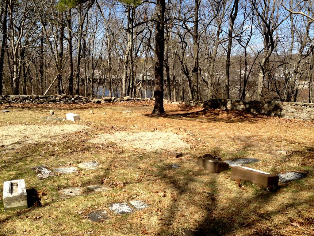
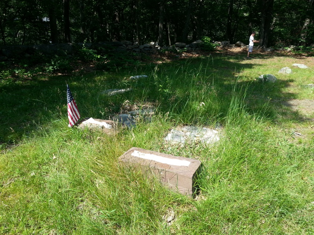
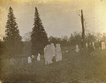
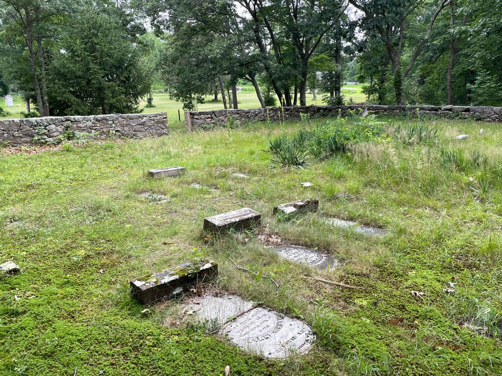
| Description | : | Notes: This cemetery is located at the Nathanael Greene Homestead Museum, and is about 1500 feet behind the house on a hill overlooking the Pawtuxet River. The property is only open from April 1-October 31, Wednesdays and Saturdays from 10-5, and Sundays 12-5, though it is advised to call ahead and make sure they will be open. |
frequently asked questions (FAQ):
-
Where is Greene Homestead Burial Ground?
Greene Homestead Burial Ground is located at 50 Taft Street Coventry, Kent County ,Rhode Island , 02816USA.
-
Greene Homestead Burial Ground cemetery's updated grave count on graveviews.com?
0 memorials
-
Where are the coordinates of the Greene Homestead Burial Ground?
Latitude: 41.6942900
Longitude: -71.5421100
Nearby Cemetories:
1. Thomas Matteson Lot
West Warwick, Kent County, USA
Coordinate: 41.6924910, -71.5387710
2. Friends Burial Ground
Coventry, Kent County, USA
Coordinate: 41.6991196, -71.5495071
3. Colonel Job Greene Lot
West Warwick, Kent County, USA
Coordinate: 41.6957660, -71.5324250
4. Sion Arnold Lot
West Warwick, Kent County, USA
Coordinate: 41.6988400, -71.5314550
5. Hargraves Stone
West Warwick, Kent County, USA
Coordinate: 41.6993670, -71.5309990
6. Arnold-Stone Lot
Coventry, Kent County, USA
Coordinate: 41.7045900, -71.5509600
7. Arnold - Hopkins Lot (Defunct)
West Warwick, Kent County, USA
Coordinate: 41.6943200, -71.5601000
8. Centerville Cemetery
West Warwick, Kent County, USA
Coordinate: 41.7012050, -71.5250100
9. Greene-Anthony Lot
West Warwick, Kent County, USA
Coordinate: 41.6938095, -71.5221863
10. Centerville Methodist Cemetery
West Warwick, Kent County, USA
Coordinate: 41.6936455, -71.5209732
11. Amherst Hopkins Cemetery
Coventry, Kent County, USA
Coordinate: 41.6778100, -71.5406300
12. Frederick Hamilton Lot
West Warwick, Kent County, USA
Coordinate: 41.6908120, -71.5201390
13. Saint Philips Episcopal Cemetery
West Warwick, Kent County, USA
Coordinate: 41.6889610, -71.5204239
14. Rice Lot
West Warwick, Kent County, USA
Coordinate: 41.6820770, -71.5261530
15. Emanuel Lutheran Cemetery
West Warwick, Kent County, USA
Coordinate: 41.6887054, -71.5203781
16. Saint Joseph's Cemetery
West Warwick, Kent County, USA
Coordinate: 41.7087708, -71.5296860
17. Major Peleg Arnold Lot
West Warwick, Kent County, USA
Coordinate: 41.6782837, -71.5325165
18. William Rice Lot
West Warwick, Kent County, USA
Coordinate: 41.6782200, -71.5308300
19. Irwin-Hines Lot
Coventry, Kent County, USA
Coordinate: 41.6876100, -71.5648600
20. John Tew Lot
West Warwick, Kent County, USA
Coordinate: 41.6818300, -71.5240900
21. Saint Mary Cemetery
West Warwick, Kent County, USA
Coordinate: 41.6861305, -71.5199585
22. Arnold Cemetery
Coventry, Kent County, USA
Coordinate: 41.7089100, -71.5573100
23. Old Baptist Cemetery
West Warwick, Kent County, USA
Coordinate: 41.6848946, -71.5203018
24. Nason-Sweet-Spink Lot
West Warwick, Kent County, USA
Coordinate: 41.6798058, -71.5251083