
| Memorials | : | 2 |
| Location | : | Licking County, USA |
| Coordinate | : | 40.0266960, -82.7341600 |
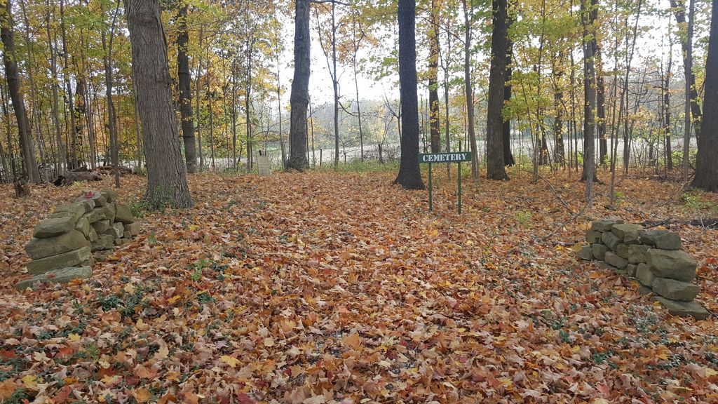
| Description | : | The cemetery is located on the south side of Cable Road (Township Road 156) about 1/8 mile west of its intersection with Mink Street Southwest (County Road 41). The cemetery is located in Lima Township, Licking County, Ohio, and is # 6720 (Greens Church Cemetery) in “Ohio Cemeteries 1803-2003”, compiled by the Ohio Genealogical Society. |
frequently asked questions (FAQ):
-
Where is Greens Church Cemetery?
Greens Church Cemetery is located at 13001 Cable Road Southwest Licking County ,Ohio , 43062USA.
-
Greens Church Cemetery cemetery's updated grave count on graveviews.com?
1 memorials
-
Where are the coordinates of the Greens Church Cemetery?
Latitude: 40.0266960
Longitude: -82.7341600

Nearby Cemetories:
1. Swisher Cemetery
Licking County, USA
Coordinate: 40.0141983, -82.7425003
2. Jersey Presbyterian Cemetery
Jersey, Licking County, USA
Coordinate: 40.0527200, -82.7191700
3. Wickliff Cemetery
Licking County, USA
Coordinate: 40.0168991, -82.6958008
4. Moreland Cemetery
Licking County, USA
Coordinate: 40.0242004, -82.6785965
5. Jersey Universalist Church Cemetery
Pataskala, Licking County, USA
Coordinate: 40.0786900, -82.7347500
6. Blauvelt and Baldwin Family Cemetery
Havens Corners, Franklin County, USA
Coordinate: 40.0197550, -82.8071030
7. Howard Farm Cemetery
Newark, Licking County, USA
Coordinate: 40.0363350, -82.6597060
8. Headley Cemetery
Blacklick, Franklin County, USA
Coordinate: 40.0432167, -82.8070374
9. Pataskala Cemetery
Pataskala, Licking County, USA
Coordinate: 39.9903100, -82.6727600
10. Havens Cemetery
Blacklick, Franklin County, USA
Coordinate: 40.0159378, -82.8132553
11. Jefferson Cemetery
Blacklick, Franklin County, USA
Coordinate: 40.0005700, -82.8095500
12. Ayers Cemetery
Franklin County, USA
Coordinate: 40.0317307, -82.8176727
13. Pet Heaven Cemetery
Wagram, Licking County, USA
Coordinate: 39.9562492, -82.7447052
14. Holy Cross Cemetery
Pataskala, Licking County, USA
Coordinate: 39.9553986, -82.7059021
15. Saint Joseph Church of the Ascension Cemetery
Johnstown, Licking County, USA
Coordinate: 40.0980800, -82.7042400
16. Etna Cemetery
Licking County, USA
Coordinate: 39.9570900, -82.6911400
17. Burnside Cemetery
Licking County, USA
Coordinate: 40.0966988, -82.6881027
18. Maplewood Cemetery
New Albany, Franklin County, USA
Coordinate: 40.0766983, -82.8133011
19. Old Burying Ground
New Albany, Franklin County, USA
Coordinate: 40.0811424, -82.8098831
20. Glen Rest Memorial Estate
Reynoldsburg, Franklin County, USA
Coordinate: 39.9552994, -82.7806015
21. Messiah Lutheran Church Columbarium
Reynoldsburg, Franklin County, USA
Coordinate: 39.9593280, -82.7928740
22. Methodist Hill Cemetery
Reynoldsburg, Franklin County, USA
Coordinate: 39.9571495, -82.7933121
23. Popeye Thompson Family Cemetery
Alexandria, Licking County, USA
Coordinate: 40.0748620, -82.6447590
24. Patterson Cemetery
Licking County, USA
Coordinate: 40.0965500, -82.6729700