
| Memorials | : | 11 |
| Location | : | Blue Lick, Lincoln County, USA |
| Coordinate | : | 37.4819000, -84.7108000 |
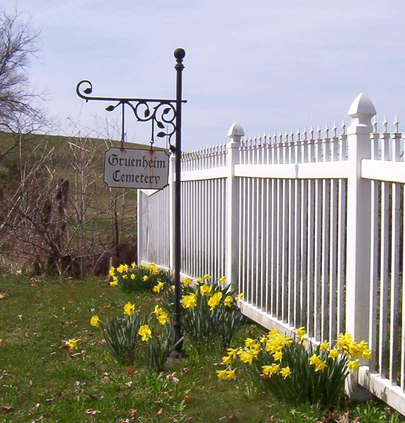
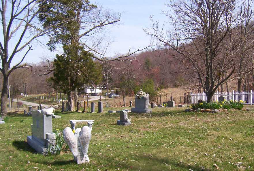
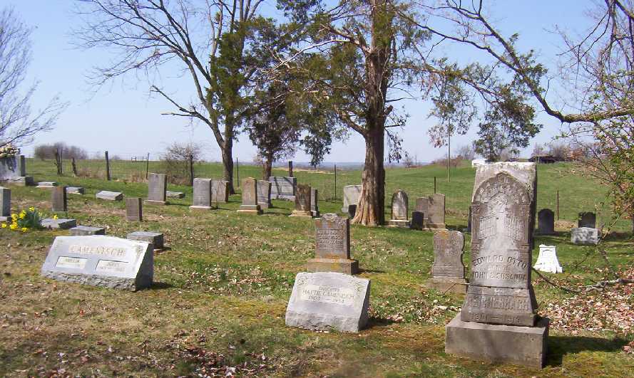
| Description | : | The Seewer and Gander families, in 1897, gave a portion of their land to the Lord, and the Gruenheim Reformed Church was built. Four years later they sold a lot to the church for a cemetery. The church is now gone, but the cemetery remains. It is on Newlands Lane (also called Boneyville Road and Blue Lick Road) just south of Blue Lick. The official name is Gruenheim Cemetery, but it can be found listed as Greenheim Cemetery, Old German Cemetery and Camenisch Cemetery. The families were from Switzerland and spoke the German language. The... Read More |
frequently asked questions (FAQ):
-
Where is Gruenheim Cemetery?
Gruenheim Cemetery is located at Blue Lick, Lincoln County ,Kentucky ,USA.
-
Gruenheim Cemetery cemetery's updated grave count on graveviews.com?
11 memorials
-
Where are the coordinates of the Gruenheim Cemetery?
Latitude: 37.4819000
Longitude: -84.7108000
Nearby Cemetories:
1. Blue Lick Cemetery
Stanford, Lincoln County, USA
Coordinate: 37.4854300, -84.7094000
2. Campbell Cemetery
Lincoln County, USA
Coordinate: 37.4752998, -84.7264023
3. Milton Simpson Cemetery
Stanford, Lincoln County, USA
Coordinate: 37.5044800, -84.6990700
4. Robbins Cemetery
Lincoln County, USA
Coordinate: 37.4821700, -84.6796900
5. Hays Family Cemetery
Stanford, Lincoln County, USA
Coordinate: 37.5071500, -84.7095100
6. Givens Cemetery
Lincoln County, USA
Coordinate: 37.4967910, -84.7400130
7. Carson Cemetery
Boneyville, Lincoln County, USA
Coordinate: 37.5063700, -84.6944300
8. Eli Simpson Cemetery
Stanford, Lincoln County, USA
Coordinate: 37.5065940, -84.6942310
9. Graves-Givens Cemetery
McKinney, Lincoln County, USA
Coordinate: 37.4610800, -84.7366500
10. Good Cemetery
Stanford, Lincoln County, USA
Coordinate: 37.5012300, -84.7433500
11. Jacobs Chapel Cemetery
Turnersville, Lincoln County, USA
Coordinate: 37.4886300, -84.7512800
12. Elliott Cemetery
Stanford, Lincoln County, USA
Coordinate: 37.4682700, -84.6625500
13. Miracle Cemetery
Stanford, Lincoln County, USA
Coordinate: 37.4599700, -84.6671940
14. Berry Hollow Cemetery
Lincoln County, USA
Coordinate: 37.4820400, -84.6578600
15. Peck Cemetery
Stanford, Lincoln County, USA
Coordinate: 37.4401800, -84.6898900
16. Hocker Family Cemetery
Stanford, Lincoln County, USA
Coordinate: 37.5291800, -84.7094200
17. Sugar Loaf Graveyard
Stanford, Lincoln County, USA
Coordinate: 37.4849300, -84.6511800
18. Eason Cemetery
McKinney, Lincoln County, USA
Coordinate: 37.4421900, -84.7492500
19. Carter Cemetery
Stanford, Lincoln County, USA
Coordinate: 37.5074400, -84.7661400
20. McCormack Church Cemetery
Lincoln County, USA
Coordinate: 37.5271300, -84.7434900
21. Buffalo Springs Cemetery
Stanford, Lincoln County, USA
Coordinate: 37.5289001, -84.6774979
22. Greenwood Cemetery
Stanford, Lincoln County, USA
Coordinate: 37.5289910, -84.6770600
23. Yocum Cemetery
McKinney, Lincoln County, USA
Coordinate: 37.4282400, -84.7346400
24. Senter Family Cemetery
Lincoln County, USA
Coordinate: 37.5002700, -84.7793200