
| Memorials | : | 1 |
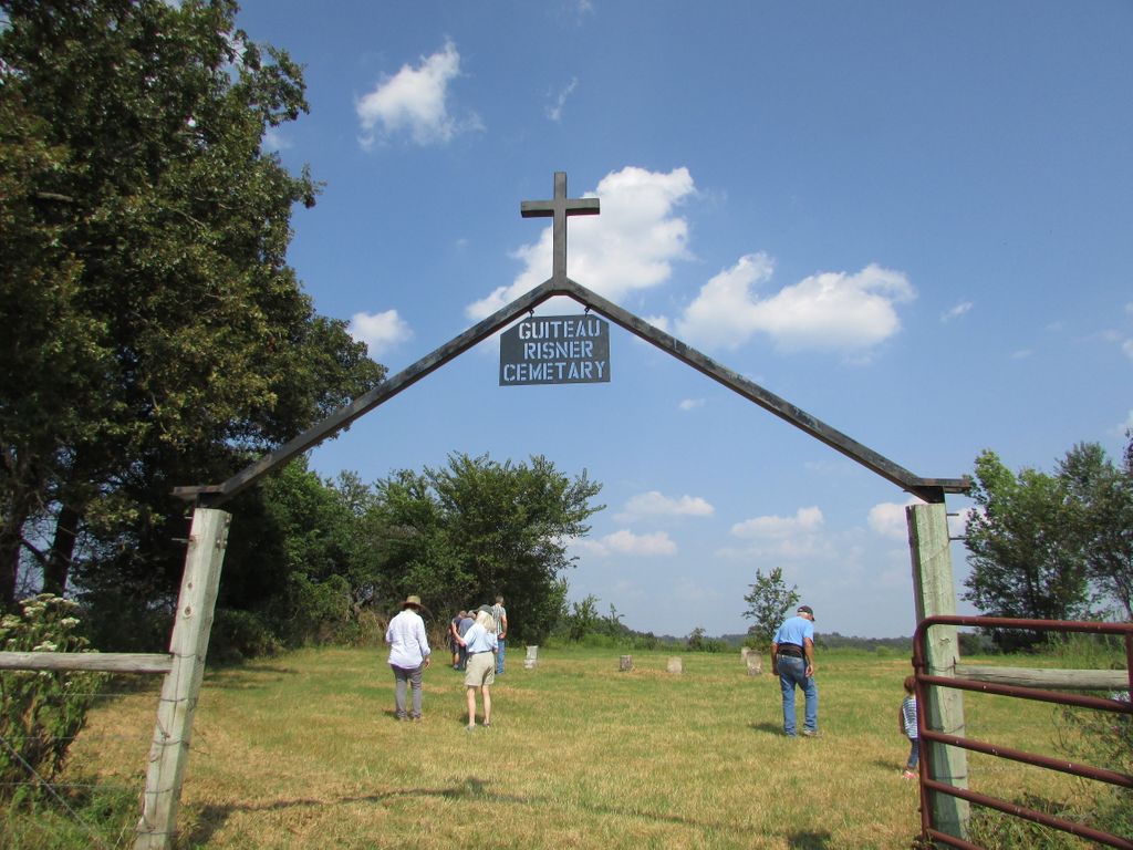
| Location | : | Guiteau, Oregon County, USA |
| Coordinate | : | 36.5588074, -91.3156128 |
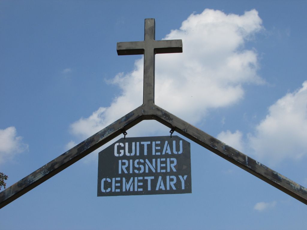
| Description | : | South from Alton on Hwy 19 to Hwy E, continue south about 12 miles to CR 250, turn right. Cemetery is located on Alvin and Jerri Johnson farm. Land was donated by John Person. There are numerous (approximately 79) unmarked graves. |
frequently asked questions (FAQ):
-
Where is Guiteau-Risner Cemetery?
Guiteau-Risner Cemetery is located at Guiteau, Oregon County ,Missouri ,USA.
-
Guiteau-Risner Cemetery cemetery's updated grave count on graveviews.com?
1 memorials
-
Where are the coordinates of the Guiteau-Risner Cemetery?
Latitude: 36.5588074
Longitude: -91.3156128
Nearby Cemetories:
1. Crass Homestead
Myrtle, Oregon County, USA
Coordinate: 36.5359695, -91.3084671
2. Garfield Cemetery
Garfield, Oregon County, USA
Coordinate: 36.5844400, -91.3253400
3. John Brown Cemetery
Jobe, Oregon County, USA
Coordinate: 36.5812111, -91.2953568
4. Byrd Cemetery
Myrtle, Oregon County, USA
Coordinate: 36.5186005, -91.3143997
5. Cotton Creek Cemetery
Jobe, Oregon County, USA
Coordinate: 36.5844002, -91.2652969
6. Arytown Cemetery
Arytown, Oregon County, USA
Coordinate: 36.5539513, -91.3795776
7. Olon Tucker Farm Cemetery #2
Couch, Oregon County, USA
Coordinate: 36.5867000, -91.3705400
8. Myrtle Cemetery
Myrtle, Oregon County, USA
Coordinate: 36.5133900, -91.2664300
9. O'Neal
Billmore, Oregon County, USA
Coordinate: 36.5712170, -91.2415410
10. Old Jobe Cemetery
Jobe, Oregon County, USA
Coordinate: 36.5917015, -91.2517014
11. New Salem Cemetery
Couch, Oregon County, USA
Coordinate: 36.6042252, -91.3712463
12. Russell Cemetery
Couch, Oregon County, USA
Coordinate: 36.5506477, -91.3991928
13. Church of God Cemetery
Oregon County, USA
Coordinate: 36.5023500, -91.2580200
14. Lance Cemetery
Many Springs, Oregon County, USA
Coordinate: 36.6310997, -91.2699966
15. Roberts Family Farm Cemetery
Couch, Oregon County, USA
Coordinate: 36.6165300, -91.2401700
16. Baker Cemetery
Couch, Oregon County, USA
Coordinate: 36.6248283, -91.3932877
17. James Cemetery
Randolph County, USA
Coordinate: 36.4660988, -91.3435974
18. Spring Valley Cemetery
Billmore, Oregon County, USA
Coordinate: 36.5324670, -91.2003420
19. Rose Hill Cemetery
Thayer, Oregon County, USA
Coordinate: 36.5186386, -91.4263763
20. Cave Springs Cemetery #2
Alton, Oregon County, USA
Coordinate: 36.6488900, -91.3652900
21. Cave Springs Cemetery
Alton, Oregon County, USA
Coordinate: 36.6492004, -91.3655014
22. Many Springs Cemetery
Many Springs, Oregon County, USA
Coordinate: 36.6521200, -91.2695100
23. Old Elmore Thomas field
Billmore, Oregon County, USA
Coordinate: 36.5237770, -91.1980250
24. Crabb Cemetery
Couch, Oregon County, USA
Coordinate: 36.5988541, -91.4339752