
| Memorials | : | 0 |
| Location | : | McKittrick, Montgomery County, USA |
| Coordinate | : | 38.7384190, -91.4544910 |
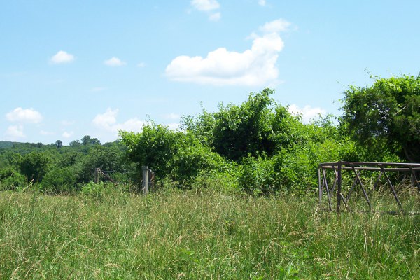
| Description | : | From Junction of Highways 19 and 94 near McKittrick, Mo. Go about 1/2 mile west on Highway 94, to Hebner Road/County Rd 310. Turn right. (north) Take the private driveway that is about .4 mile up Hebner Rd. (to right) The driveway ends at a farm house. Ask permission to visit the graves that are behind the house in a pasture. The area has been fenced and several headstones have been restored, but there is a lot of overgrowth present. NW 1/4 of Section 23, Township 46N, Range 5 West of the 5th Principal Meridian in... Read More |
frequently asked questions (FAQ):
-
Where is Haile Talbot Cemetery?
Haile Talbot Cemetery is located at McKittrick, Montgomery County ,Missouri ,USA.
-
Haile Talbot Cemetery cemetery's updated grave count on graveviews.com?
0 memorials
-
Where are the coordinates of the Haile Talbot Cemetery?
Latitude: 38.7384190
Longitude: -91.4544910

Nearby Cemetories:
1. Loutre Island Cemetery
McKittrick, Montgomery County, USA
Coordinate: 38.7546997, -91.4685974
2. Patton Cemetery
Montgomery County, USA
Coordinate: 38.7700005, -91.4642029
3. Saint George Cemetery
Hermann, Gasconade County, USA
Coordinate: 38.7052994, -91.4458008
4. Bedford Cemetery
Montgomery County, USA
Coordinate: 38.7742004, -91.4633026
5. Lingenfelder Cemetery
Hermann, Gasconade County, USA
Coordinate: 38.7041702, -91.4372177
6. Ellis Cemetery
Big Spring, Montgomery County, USA
Coordinate: 38.7748000, -91.4658000
7. Saint Marcus Cemetery
Rhineland, Montgomery County, USA
Coordinate: 38.7224998, -91.5028000
8. Hermann Cemetery
Hermann, Gasconade County, USA
Coordinate: 38.6992420, -91.4350900
9. Poeschel Cemetery
Hermann, Gasconade County, USA
Coordinate: 38.6932983, -91.4705963
10. Old Van Booven Cemetery
Montgomery County, USA
Coordinate: 38.7483000, -91.5143000
11. Old Saint George Cemetery
Hermann, Gasconade County, USA
Coordinate: 38.6917000, -91.4317017
12. Kendrick Cemetery
Montgomery County, USA
Coordinate: 38.7592010, -91.5233002
13. Saint Josephs Cemetery
Rhineland, Montgomery County, USA
Coordinate: 38.7185180, -91.5249260
14. Grass Cemetery
Hermann, Gasconade County, USA
Coordinate: 38.6786003, -91.4692001
15. Carrell Cemetery
Big Spring, Montgomery County, USA
Coordinate: 38.7942800, -91.4871100
16. Saint James Evangelical Cemetery
Big Spring, Montgomery County, USA
Coordinate: 38.8002700, -91.4720100
17. Oelschlaeger Cemetery
Hermann, Gasconade County, USA
Coordinate: 38.6927450, -91.3964870
18. Uthlaut Cemetery
Montgomery County, USA
Coordinate: 38.8017006, -91.4392014
19. Reifsteck Farm Cemetery
Hermann, Gasconade County, USA
Coordinate: 38.6792500, -91.4912200
20. Niedergerke Cemetery
Big Spring, Montgomery County, USA
Coordinate: 38.8021584, -91.4764175
21. Eberlin Cemetery
Hermann, Gasconade County, USA
Coordinate: 38.6753006, -91.4297028
22. Edler Cemetery
Big Spring, Montgomery County, USA
Coordinate: 38.7959800, -91.4963200
23. Ellis Family Farm Burial Ground
Big Spring, Montgomery County, USA
Coordinate: 38.7905100, -91.5109200
24. Big Spring United Methodist Church Cemetery
Big Spring, Montgomery County, USA
Coordinate: 38.8033791, -91.4827271