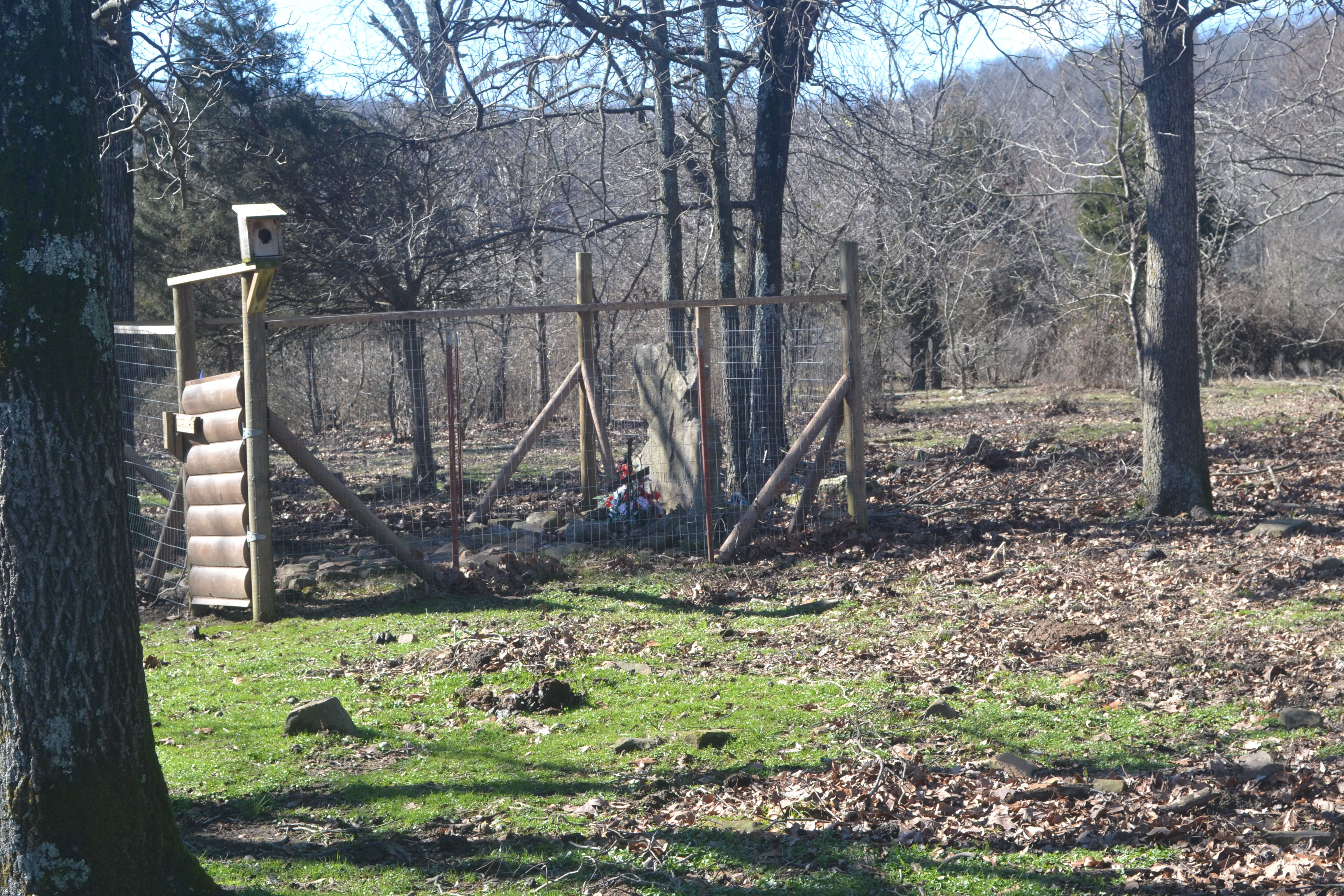
| Memorials | : | 15 |
| Location | : | Timbo, Stone County, USA |
| Coordinate | : | 35.8577530, -92.2667880 |
| Description | : | Located off Happy Hollow Road on the New Nata Cutoff Road on the Bagby Farm property Sec 9 Tnshp 14N Rge 12W. The GPS Coordinates will need to be adjusted. But this is the right road. |
frequently asked questions (FAQ):
-
Where is Happy Hollow Cemetery?
Happy Hollow Cemetery is located at Timbo, Stone County ,Arkansas ,USA.
-
Happy Hollow Cemetery cemetery's updated grave count on graveviews.com?
15 memorials
-
Where are the coordinates of the Happy Hollow Cemetery?
Latitude: 35.8577530
Longitude: -92.2667880
Nearby Cemetories:
1. Blue Mountain Cemetery
Timbo, Stone County, USA
Coordinate: 35.8657074, -92.2817993
2. Cooper Hill Cemetery
Newnata, Stone County, USA
Coordinate: 35.8912400, -92.2578400
3. Brown Family Cemetery
Onia, Stone County, USA
Coordinate: 35.8782710, -92.3024940
4. Ramsley Cemetery
Stone County, USA
Coordinate: 35.8581009, -92.3182983
5. Ramsey Cemetery
Stone County, USA
Coordinate: 35.8583794, -92.3183746
6. Big Springs Cemetery
Newnata, Stone County, USA
Coordinate: 35.9001200, -92.2683800
7. Timbo Cemetery
Timbo, Stone County, USA
Coordinate: 35.8717200, -92.3189200
8. Elizabeth Cemetery
Mountain View, Stone County, USA
Coordinate: 35.8394630, -92.2110710
9. Green Cemetery
Turkey Creek, Stone County, USA
Coordinate: 35.8163520, -92.2315120
10. Oak Grove Cemetery
Newnata, Stone County, USA
Coordinate: 35.9065000, -92.2443000
11. Red Doors Cemetery
Mountain View, Stone County, USA
Coordinate: 35.8833008, -92.2097015
12. Smithee Cemetery
Stone County, USA
Coordinate: 35.9199982, -92.3028030
13. Sunnyland Cemetery
Mountain View, Stone County, USA
Coordinate: 35.8027340, -92.2003800
14. Saint Mary's Catholic Church Columbarium
Mountain View, Stone County, USA
Coordinate: 35.8700380, -92.1657530
15. Fox Cemetery
Fox, Stone County, USA
Coordinate: 35.7776000, -92.2934000
16. Pordue Cemetery
Onia, Stone County, USA
Coordinate: 35.9254570, -92.3305130
17. Mitchell Cemetery
Mountain View, Stone County, USA
Coordinate: 35.9339800, -92.1961500
18. McCarn-Ramsey Cemetery
Fiftysix, Stone County, USA
Coordinate: 35.9340439, -92.1960449
19. Alco Cemetery
Alco, Stone County, USA
Coordinate: 35.8913994, -92.3783035
20. Fredonia Cemetery
Mountain View, Stone County, USA
Coordinate: 35.8250008, -92.1502991
21. Farris Cemetery
Onia, Stone County, USA
Coordinate: 35.9303017, -92.3555984
22. Folks Cemetery
Turkey Creek, Stone County, USA
Coordinate: 35.7643090, -92.2087240
23. Stevens Cemetery
Onia, Stone County, USA
Coordinate: 35.9594002, -92.3043976
24. Fifty-Six Cemetery
Fiftysix, Stone County, USA
Coordinate: 35.9559000, -92.2127000

