| Memorials | : | 40 |
| Location | : | Edgemoor, Chester County, USA |
| Coordinate | : | 34.8046250, -80.9690760 |
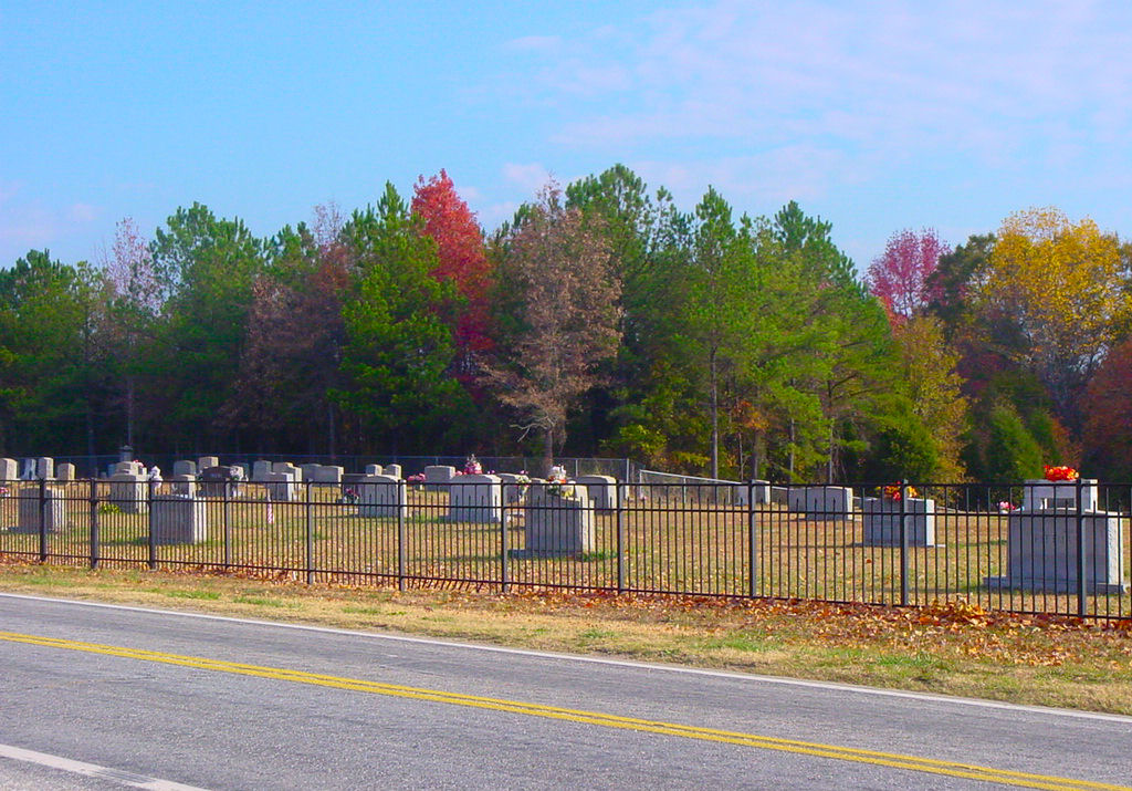
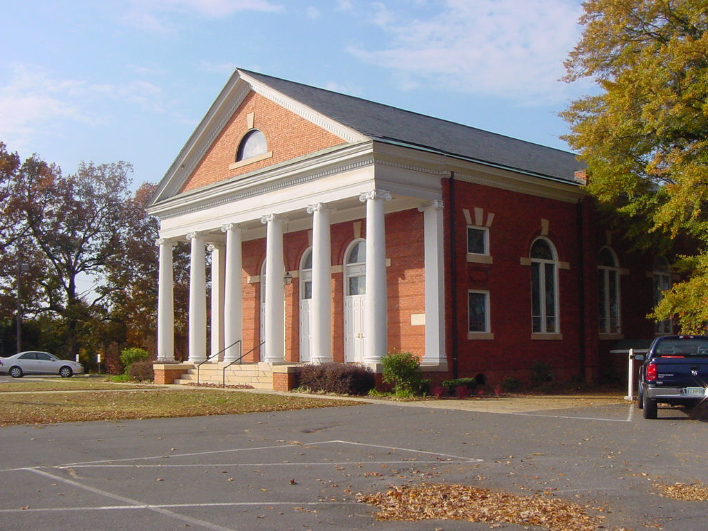
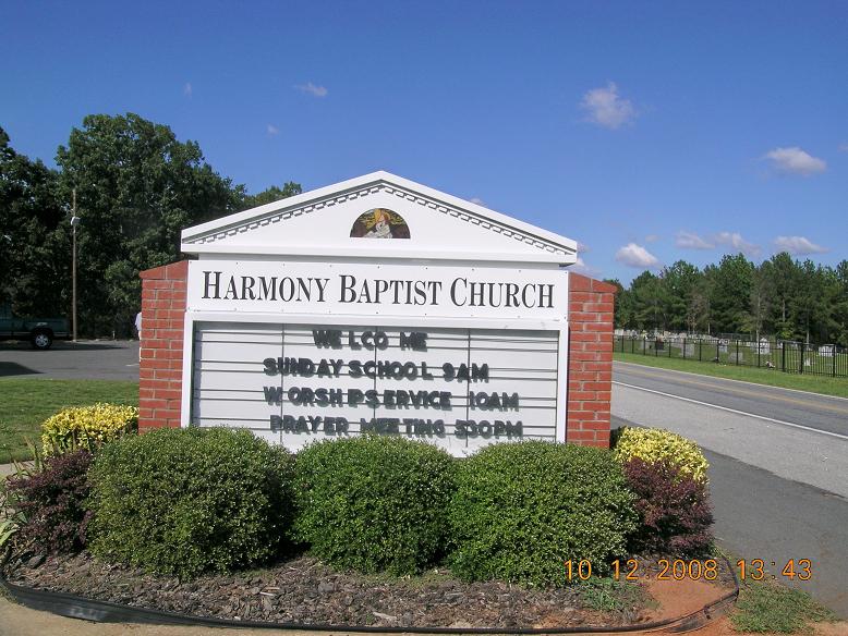
| Description | : | Cemetery use to be called Harmony Grove but has gone by Harmony Baptist Church for years. |
frequently asked questions (FAQ):
-
Where is Harmony Baptist Church Cemetery?
Harmony Baptist Church Cemetery is located at Harmony Church Road Edgemoor, Chester County ,South Carolina , 29712USA.
-
Harmony Baptist Church Cemetery cemetery's updated grave count on graveviews.com?
39 memorials
-
Where are the coordinates of the Harmony Baptist Church Cemetery?
Latitude: 34.8046250
Longitude: -80.9690760
Nearby Cemetories:
1. Rives Family Burying Grounds
Edgemoor, Chester County, USA
Coordinate: 34.7990600, -80.9970000
2. Bethel United Methodist Church Cemetery
Edgemoor, Chester County, USA
Coordinate: 34.7921600, -80.9321100
3. Big Calvary Baptist Church Cemetery
Edgemoor, Chester County, USA
Coordinate: 34.7882180, -81.0050820
4. Edgemoor ARP Church Cemetery
Edgemoor, Chester County, USA
Coordinate: 34.8055800, -81.0104000
5. Liberty Hill Baptist Church Cemetery
Catawba, York County, USA
Coordinate: 34.8286660, -80.9384350
6. Red Oak AME Zion Church Cemetery
Edgemoor, Chester County, USA
Coordinate: 34.8019210, -81.0123740
7. Mount Calvary AME Zion Church Cemetery
Rock Hill, York County, USA
Coordinate: 34.8445778, -80.9860687
8. New Covenant Church
Chester County, USA
Coordinate: 34.7818130, -80.9198320
9. Lando Cemetery
Lando, Chester County, USA
Coordinate: 34.7717300, -81.0102260
10. Nichols Family Cemetery
Edgemoor, Chester County, USA
Coordinate: 34.7734860, -80.9251110
11. Mount Zion AME Zion Church Cemetery
Landsford, Chester County, USA
Coordinate: 34.7743200, -80.9175800
12. Old Stone Cemetery
Fort Lawn, Chester County, USA
Coordinate: 34.7905870, -80.9053250
13. New Vision Freewill Baptist Church Cemetery
Rock Hill, York County, USA
Coordinate: 34.8520660, -81.0023010
14. Burnt Meeting House Church Cemetery
Chester County, USA
Coordinate: 34.7440000, -80.9765300
15. Catawba Chapel A.M.E. Zion Church Cemetery
Catawba, York County, USA
Coordinate: 34.8555500, -80.9262500
16. Neely's Creek ARP Church Cemetery
Rock Hill, York County, USA
Coordinate: 34.8673260, -80.9651080
17. Mount Vernon AME Zion Church Cemetery
Chester County, USA
Coordinate: 34.7422210, -80.9603680
18. Catawba Methodist Church Cemetery
Catawba, York County, USA
Coordinate: 34.8506851, -80.9131012
19. El Bethel United Methodist Church Cemetery
Chester County, USA
Coordinate: 34.7513590, -80.9194850
20. Mount Holly United Methodist Church Cemetery
Rock Hill, York County, USA
Coordinate: 34.8674278, -81.0165024
21. Pleasant Ridge Baptist Church Cemetery
Rock Hill, York County, USA
Coordinate: 34.8530235, -81.0420914
22. Tabernacle AME Zion Church Cemetery
Rock Hill, York County, USA
Coordinate: 34.8749847, -80.9308090
23. Hopewell Presbyterian Church Cemetery
Lesslie, York County, USA
Coordinate: 34.8835320, -80.9648800
24. Fishing Creek Presbyterian Cemetery
Chester, Chester County, USA
Coordinate: 34.8008700, -81.0668700


