| Memorials | : | 2 |
| Location | : | Kansas, Edgar County, USA |
| Coordinate | : | 39.6057200, -87.9413100 |
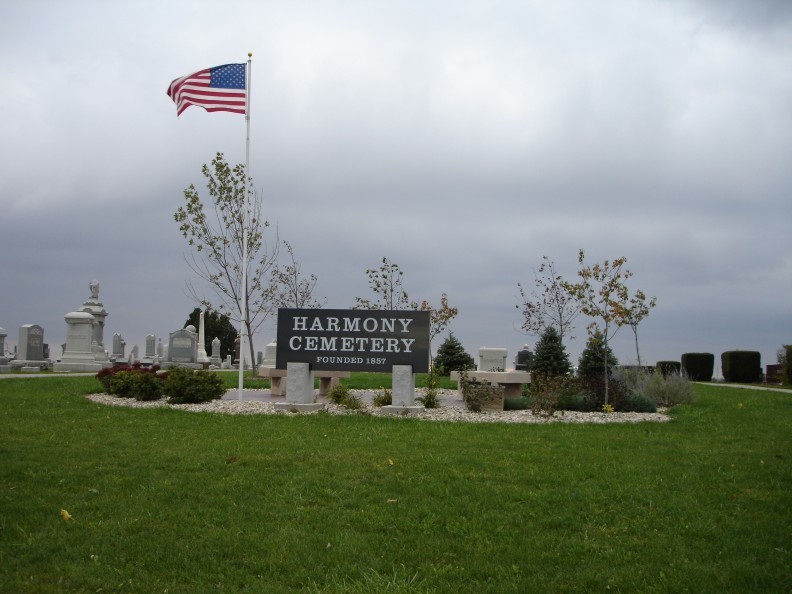
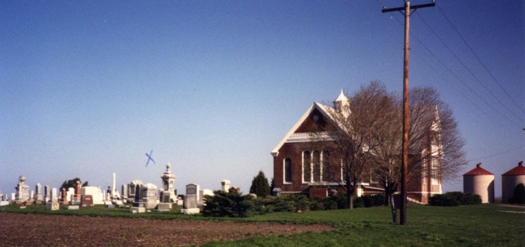
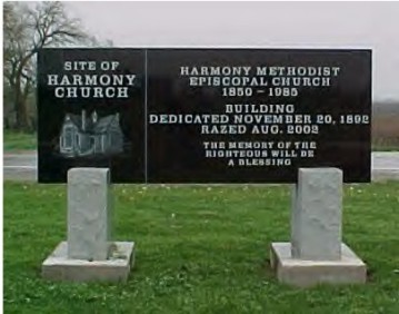
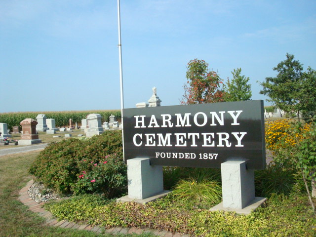
| Description | : | Founded 1857. Harmony Cemetery is located 3 miles north of Kansas, IL on IL State Rte 49 at the intersection of County Road 950 North and 125 East, which is Rte 49. There are many beautiful markers, several very large markers and the cemetery is very well maintained. |
frequently asked questions (FAQ):
-
Where is Harmony Cemetery?
Harmony Cemetery is located at Kansas, Edgar County ,Illinois ,USA.
-
Harmony Cemetery cemetery's updated grave count on graveviews.com?
2 memorials
-
Where are the coordinates of the Harmony Cemetery?
Latitude: 39.6057200
Longitude: -87.9413100
Nearby Cemetories:
1. Shields Cemetery
East Oakland Township, Coles County, USA
Coordinate: 39.6131400, -87.9648500
2. Bell Cemetery
East Oakland Township, Coles County, USA
Coordinate: 39.6307983, -87.9732971
3. Housel Cemetery
Borton, Edgar County, USA
Coordinate: 39.6440900, -87.9447900
4. Fairview Cemetery
Kansas, Edgar County, USA
Coordinate: 39.5602989, -87.9131012
5. Fairview Cemetery
East Oakland Township, Coles County, USA
Coordinate: 39.6044006, -88.0111008
6. Scott Cemetery
Redmon, Edgar County, USA
Coordinate: 39.6456500, -87.8852000
7. Embarrass Cemetery
Redmon, Edgar County, USA
Coordinate: 39.6605568, -87.8926392
8. Zimmerman Cemetery
Brocton, Edgar County, USA
Coordinate: 39.6722570, -87.9303110
9. Catfish Cemetery
Brocton, Edgar County, USA
Coordinate: 39.6729400, -87.9286100
10. Catfish Point Cemetery
Redmon, Edgar County, USA
Coordinate: 39.6588000, -87.8848500
11. Saint Omer Cemetery
Ashmore Township, Coles County, USA
Coordinate: 39.5682983, -88.0307999
12. Oak Grove Cemetery
East Oakland Township, Coles County, USA
Coordinate: 39.6074409, -88.0448990
13. Oakland Cemetery
Oakland, Coles County, USA
Coordinate: 39.6603840, -88.0261630
14. Rosedale Cemetery
Oakland, Coles County, USA
Coordinate: 39.6608009, -88.0261002
15. Berry Cemetery
East Oakland Township, Coles County, USA
Coordinate: 39.6711110, -88.0147220
16. Wilhoit Cemetery
Kansas, Edgar County, USA
Coordinate: 39.5177994, -87.9238968
17. Cornwell Cemetery
Kansas, Edgar County, USA
Coordinate: 39.5158005, -87.9383011
18. Waite Cemetery
Kansas, Edgar County, USA
Coordinate: 39.5139008, -87.9511032
19. Tate Cemetery
Grandview, Edgar County, USA
Coordinate: 39.5388985, -87.8582993
20. Cholera Cemetery
Grandview, Edgar County, USA
Coordinate: 39.5465200, -87.8462400
21. Mitchell Cemetery
Ashmore Township, Coles County, USA
Coordinate: 39.5582500, -88.0487600
22. Grandview Cemetery
Grandview, Edgar County, USA
Coordinate: 39.5396800, -87.8465100
23. Ashmore Cemetery
Ashmore, Coles County, USA
Coordinate: 39.5269318, -88.0189972
24. Poulter Cemetery
Kansas, Edgar County, USA
Coordinate: 39.5033500, -87.9447000


