
| Memorials | : | 0 |
| Location | : | Fairview, Christian County, USA |
| Coordinate | : | 36.8555360, -87.3023850 |
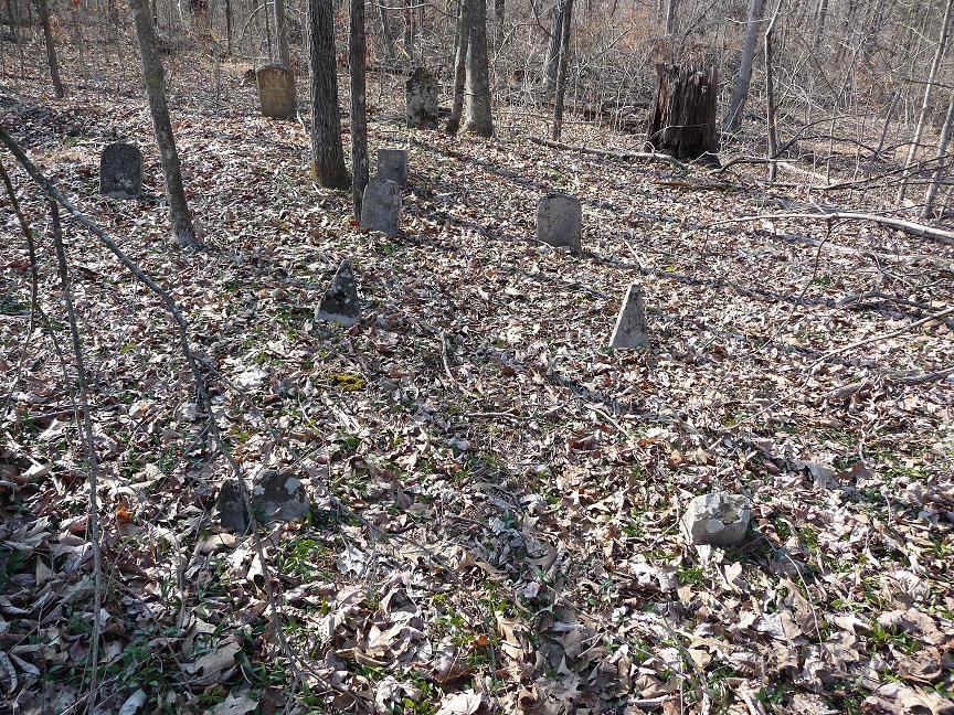
| Description | : | From The Jefferson Davis Monument State Historic Site in Fairview, Christian County, Kentucky north about 1 1/2 mile on Britmart Road and after crossing into Todd County, then turn left into drive in a sharp curve entering private property take the right hand drive way continuing 1 1/2 mile into Christian County to Harned Cemetery. |
frequently asked questions (FAQ):
-
Where is Harned Cemetery?
Harned Cemetery is located at Fairview, Christian County ,Kentucky ,USA.
-
Harned Cemetery cemetery's updated grave count on graveviews.com?
0 memorials
-
Where are the coordinates of the Harned Cemetery?
Latitude: 36.8555360
Longitude: -87.3023850
Nearby Cemetories:
1. Brown Cemetery
Christian County, USA
Coordinate: 36.8466988, -87.3283005
2. Hayes Cemetery
Christian County, USA
Coordinate: 36.8806000, -87.3217010
3. Lakeview Baptist Church Cemetery
Christian County, USA
Coordinate: 36.8730080, -87.3327430
4. Fritz Cemetery
Honey Grove, Christian County, USA
Coordinate: 36.8871700, -87.3408900
5. Gray Cemetery #1
Hopkinsville, Christian County, USA
Coordinate: 36.8511009, -87.3602982
6. Fruit Cemetery
Hopkinsville, Christian County, USA
Coordinate: 36.9059408, -87.3738090
7. Campbell Family Cemetery
Hopkinsville, Christian County, USA
Coordinate: 36.8686830, -87.4068590
8. Antioch Cemetery
Christian County, USA
Coordinate: 36.9226820, -87.3996840
9. Haddock Cemetery
Christian County, USA
Coordinate: 36.9043999, -87.4291992
10. Henderson Cemetery
Christian County, USA
Coordinate: 36.9566994, -87.3644028
11. Green Hill Baptist Church Cemetery
Casky, Christian County, USA
Coordinate: 36.8201930, -87.4381730
12. Hord Cemetery #1
Hopkinsville, Christian County, USA
Coordinate: 36.9029400, -87.4368360
13. Gentry Family Cemetery
Hopkinsville, Christian County, USA
Coordinate: 36.8751400, -87.4539200
14. New Zion Cemetery
Fruit Hill, Christian County, USA
Coordinate: 36.9388800, -87.4208700
15. Dogwood Cemetery
Dogwood, Christian County, USA
Coordinate: 36.9495500, -87.4124500
16. Martin Cemetery
Christian County, USA
Coordinate: 36.9817009, -87.3392029
17. Cave Springs Cemetery
Hopkinsville, Christian County, USA
Coordinate: 36.8734512, -87.4635696
18. Gainsville Cemetery
Hopkinsville, Christian County, USA
Coordinate: 36.8717270, -87.4692560
19. COL. Robinson Cemetery
Hopkinsville, Christian County, USA
Coordinate: 36.9900900, -87.3367400
20. Bronaugh Cemetery
Christian County, USA
Coordinate: 36.8981590, -87.4759510
21. Hord Cemetery #2
Christian County, USA
Coordinate: 36.9822640, -87.3921240
22. Meacham Cemetery #5
Bluff Spring, Christian County, USA
Coordinate: 37.0017130, -87.3032000
23. Grace Episcopal Memorial Garden
Hopkinsville, Christian County, USA
Coordinate: 36.8665570, -87.4858160
24. Goshen Cemetery
Honey Grove, Christian County, USA
Coordinate: 36.8943500, -87.4826700