
| Memorials | : | 3 |
| Location | : | Canebrake, McDowell County, USA |
| Coordinate | : | 37.2365890, -81.6382190 |
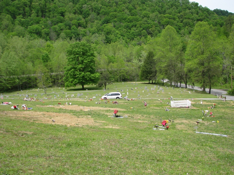
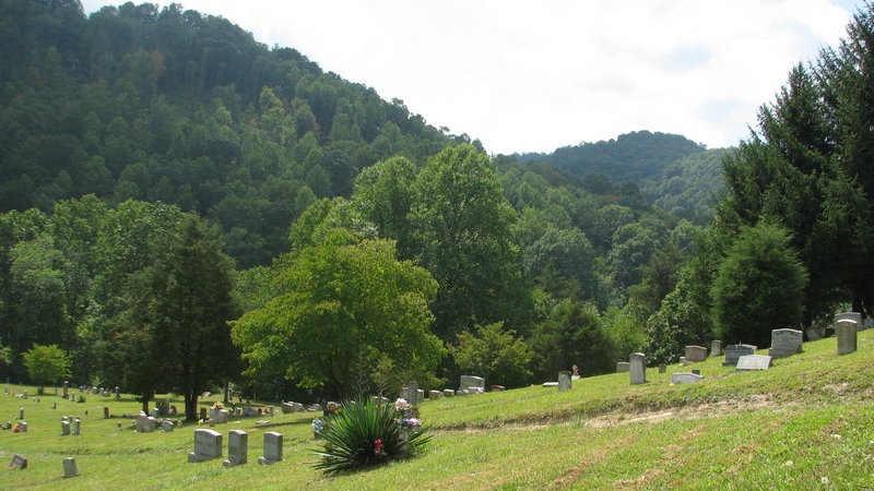
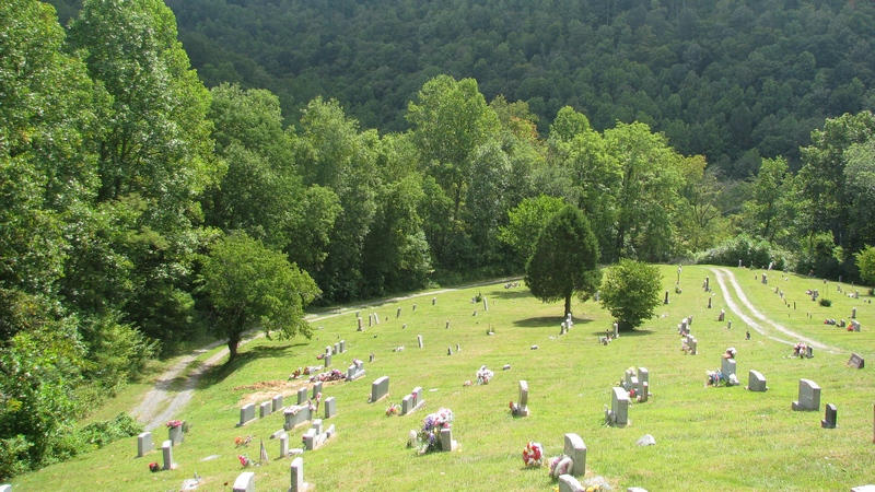
| Description | : | Established by the Berwind Coal Company From War, WV, take Rt. 16 South to the Berwind Fork. Make a right onto Rt. 9 to Berwind. Pass through Berwind and Canebrake. After passing under a railroad tressle, the Hartwell Cemetery is on the right. There is a lower and upper section. The upper section is not visible from Rt. 9. The Hartwell Cemetery was initally established by the Berwind Coal Company Burial Fund and has a caretaker, Clarence Patterson of Vallscreek. Names of individuals without dates comes from records maintained by Mr. Patterson and indicates that there is no tomb... Read More |
frequently asked questions (FAQ):
-
Where is Hartwell Cemetery?
Hartwell Cemetery is located at Canebrake, McDowell County ,West Virginia ,USA.
-
Hartwell Cemetery cemetery's updated grave count on graveviews.com?
2 memorials
-
Where are the coordinates of the Hartwell Cemetery?
Latitude: 37.2365890
Longitude: -81.6382190
Nearby Cemetories:
1. Big Creek Cemetery III
McDowell County, USA
Coordinate: 37.2989006, -81.6461029
2. Big Creek Cemetery II
McDowell County, USA
Coordinate: 37.3003110, -81.6493720
3. Big Creek Cemetery
Brewsterdale, McDowell County, USA
Coordinate: 37.2503270, -81.5525580
4. Elswick Family Cemetery
Bearwallow, Buchanan County, USA
Coordinate: 37.2413902, -81.7444382
5. Altizer Cemetery
Buchanan County, USA
Coordinate: 37.2655983, -81.7521973
6. Big Creek-Dillon Cemetery
Filbert, McDowell County, USA
Coordinate: 37.2762660, -81.5043110
7. Knob Cemetery
McDowell County, USA
Coordinate: 37.2811012, -81.7928009
8. Day Cemetery
Buchanan County, USA
Coordinate: 37.2633018, -81.7994003
9. Brown Mountain Family Cemetery
Buchanan County, USA
Coordinate: 37.2018850, -81.8110640
10. Scott Cemetery
Gary, McDowell County, USA
Coordinate: 37.3674290, -81.5487670
11. Adams Cemetery
McDowell County, USA
Coordinate: 37.2799988, -81.8227997
12. Deskins Cemetery
Atwell, McDowell County, USA
Coordinate: 37.3711014, -81.7506027
13. Blankenship Cemetery
Buchanan County, USA
Coordinate: 37.2858009, -81.8388977
14. Buckeye Cemetery
Jolo, McDowell County, USA
Coordinate: 37.3100014, -81.8292007
15. W. G. Hatifield Cemetery
Jolo, McDowell County, USA
Coordinate: 37.3104920, -81.8291280
16. Click-Garlic Cemetery on Coal Camp Hill
Bradshaw, McDowell County, USA
Coordinate: 37.3541800, -81.7925300
17. Short Ridge Cemetery
Garland, McDowell County, USA
Coordinate: 37.3724200, -81.7769440
18. Horne Cemetery
McDowell County, USA
Coordinate: 37.2855988, -81.8503036
19. Mitchell Cemetery
Jolo, McDowell County, USA
Coordinate: 37.3193606, -81.8347545
20. Stacy Cemetery
Grundy, Buchanan County, USA
Coordinate: 37.2811012, -81.8593979
21. Compton Cemetery
Buchanan County, USA
Coordinate: 37.2743988, -81.8641968
22. Woods Cemetery
Bradshaw, McDowell County, USA
Coordinate: 37.3502998, -81.8217010
23. Blevins Cemetery
Avondale, McDowell County, USA
Coordinate: 37.3972015, -81.7593994
24. Keen Cemetery
McDowell County, USA
Coordinate: 37.3130989, -81.8617020