| Memorials | : | 0 |
| Location | : | Knizeci Plane, Okres Prachatice, Czech Republic |
| Coordinate | : | 48.9525900, 13.6159000 |
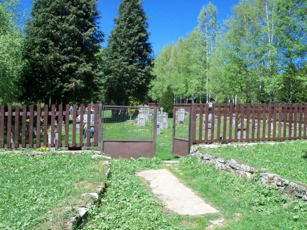
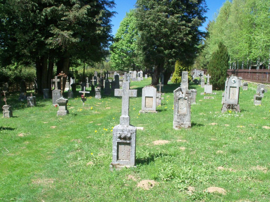
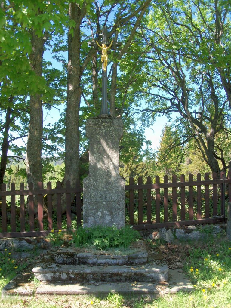
| Description | : | The village of Knížecí Pláne (previously: Fürstenhut) was founded in 1792 by Prince Schwarzenberg, and settled by woodcutters. In 1864 the neo-Gothic church named after John the Baptist (Czech: Jan Krtitel) was opened. At that time there were 60 houses with a total of 725 inhabitants. The inhabitants of Finsterau on the Bavarian side attended church services in Fürstenhut until the construction of their own church in 1888. After the Second World War, the ethnic German population was expelled, and in 1956 the village, including church and cemetery, was demolished, and incorporated into the restricted border area. After the end of... Read More |
frequently asked questions (FAQ):
-
Where is Hřbitov Knížecí Pláně?
Hřbitov Knížecí Pláně is located at Knizeci Plane, Okres Prachatice ,Jihočeský (South Bohemia) ,Czech Republic.
-
Hřbitov Knížecí Pláně cemetery's updated grave count on graveviews.com?
0 memorials
-
Where are the coordinates of the Hřbitov Knížecí Pláně?
Latitude: 48.9525900
Longitude: 13.6159000
Nearby Cemetories:
1. Mater dolorosa Friedhof
Finsterau, Landkreis Freyung-Grafenau, Germany
Coordinate: 48.9293889, 13.5784444
2. Mitterfirmiansreut Friedhof
Mitterfirmiansreut, Landkreis Freyung-Grafenau, Germany
Coordinate: 48.8920830, 13.6501940
3. Hřbitov Nový Svět
Nový Svět, Okres Prachatice, Czech Republic
Coordinate: 49.0083110, 13.6705200
4. Friedhof Unterzassau-Kuschwarda
Strážný, Okres Prachatice, Czech Republic
Coordinate: 48.9091620, 13.7207810
5. Hřbitov Horní Vltavice
Horni Vltavice, Okres Prachatice, Czech Republic
Coordinate: 48.9557150, 13.7582710
6. Philippsreut Friedhof
Philippsreut, Landkreis Freyung-Grafenau, Germany
Coordinate: 48.8694720, 13.6818050
7. Sankt Heinrich und Sankt Gunther Friedhof
Schönbrunn am Lusen, Landkreis Freyung-Grafenau, Germany
Coordinate: 48.8627500, 13.5340278
8. Sankt Anna Friedhof
Neuschonau, Landkreis Freyung-Grafenau, Germany
Coordinate: 48.8845556, 13.4749167
9. Sankt Valentin Friedhof
Bischofsreut, Landkreis Freyung-Grafenau, Germany
Coordinate: 48.8356111, 13.6404444
10. Friedhof St. Oswald
Herzogsreut, Landkreis Freyung-Grafenau, Germany
Coordinate: 48.8353611, 13.6404444
11. Sankt Anna Friedhof
Kreuzberg, Landkreis Freyung-Grafenau, Germany
Coordinate: 48.8385600, 13.5529440
12. Hřbitov České Žleby
České Žleby, Okres Prachatice, Czech Republic
Coordinate: 48.8790000, 13.7752500
13. Friedhof Christus dem Auferstandenen
Hinterschmiding, Landkreis Freyung-Grafenau, Germany
Coordinate: 48.8240830, 13.6004440
14. Sankt Peter und Paul Friedhof
Hohenau, Landkreis Freyung-Grafenau, Germany
Coordinate: 48.8502500, 13.4875833
15. Veřejné pohřebiště Vimperk
Vimperk, Okres Prachatice, Czech Republic
Coordinate: 49.0556400, 13.7766320
16. Freyung Alter Friedhof
Freyung, Landkreis Freyung-Grafenau, Germany
Coordinate: 48.8105560, 13.5482780
17. Naturfriedhof Grainet
Unterseilberg, Landkreis Freyung-Grafenau, Germany
Coordinate: 48.8035179, 13.6260349
18. Friedhof Freyung Neuer
Schönbrunn, Landkreis Freyung-Grafenau, Germany
Coordinate: 48.8063610, 13.5603610
19. Freyung, Neuer Friedhof
Freyung, Landkreis Freyung-Grafenau, Germany
Coordinate: 48.8060003, 13.5608079
20. Hřbitov Stachy
Stachy, Okres Prachatice, Czech Republic
Coordinate: 49.0998280, 13.6690260
21. Friedhof Heilige Dreifaltigkeit
Grainet, Landkreis Freyung-Grafenau, Germany
Coordinate: 48.7997500, 13.6504170
22. Friedhof St. Maximilian
Haidmühle, Landkreis Freyung-Grafenau, Germany
Coordinate: 48.8268889, 13.7763611
23. Maria Patrona Bavariae Friedhof
Ringelai, Landkreis Freyung-Grafenau, Germany
Coordinate: 48.8134444, 13.4723056
24. Friedhof Sankt Josef
Karlsbach, Landkreis Freyung-Grafenau, Germany
Coordinate: 48.7661100, 13.5859400


