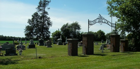
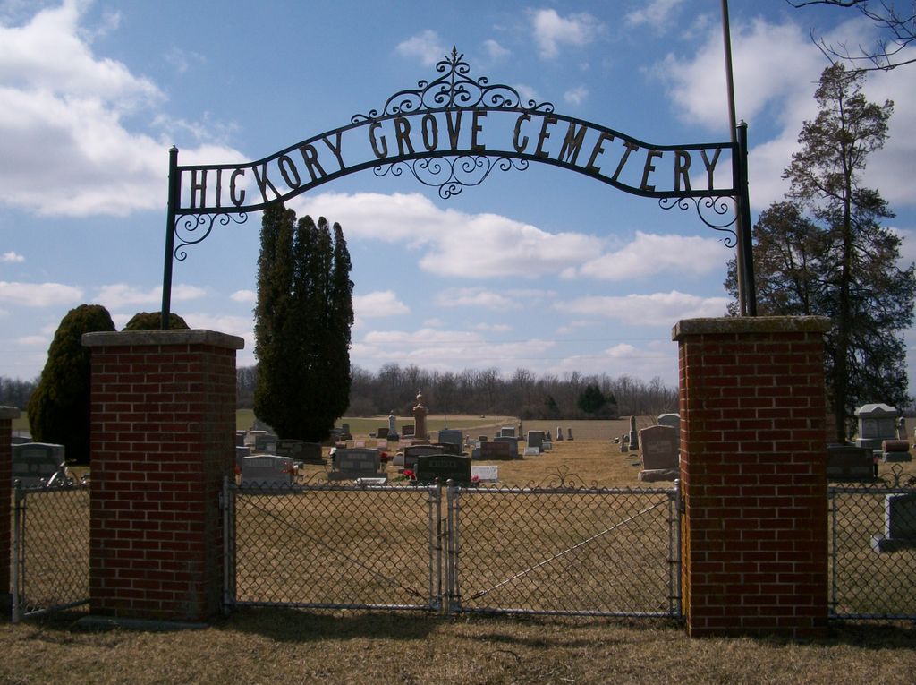
| Memorials | : | 537 |
| Location | : | Vanlue, Hancock County, USA |
| Coordinate | : | 41.0028000, -83.4533005 |
| Description | : | The cemetery is located on the north side of Township Road 264 about 0.7 miles north of its intersection with County Road 3. The cemetery is 1.2 acres in size. The cemetery is located in Biglick Township, Hancock County, Ohio, and is # 4789 (Heichery Grove Cemetery / Saint Johns Cemetery / Hickory Grove Cemetery) in “Ohio Cemeteries 1803-2003”, compiled by the Ohio Genealogical Society. The cemetery is registered with the Ohio Division of Real Estate and Professional Licensing (ODRE) as Hickory Grove Cemetery with registration license number CGR.0000983064. The U.S. Geological Survey (USGS) Geographic Names Information System... Read More |
frequently asked questions (FAQ):
-
Where is Hickory Grove Cemetery?
Hickory Grove Cemetery is located at County Road 264 Vanlue, Hancock County ,Ohio , 44802USA.
-
Hickory Grove Cemetery cemetery's updated grave count on graveviews.com?
537 memorials
-
Where are the coordinates of the Hickory Grove Cemetery?
Latitude: 41.0028000
Longitude: -83.4533005
Nearby Cemetories:
1. Lutheran Ridge Cemetery
Wyandot County, USA
Coordinate: 40.9810982, -83.4289017
2. Pleasant Ridge Cemetery
Wyandot County, USA
Coordinate: 40.9766998, -83.4375000
3. Old Lutheran Ridge Cemetery
Carey, Wyandot County, USA
Coordinate: 40.9762050, -83.4263990
4. Biglick Cemetery
Hancock County, USA
Coordinate: 41.0355988, -83.4411011
5. Graham Cemetery
Hancock County, USA
Coordinate: 41.0403150, -83.4468340
6. Big Spring Cemetery
Seneca County, USA
Coordinate: 41.0032997, -83.3874969
7. Zion Bloom Cemetery
Vanlue, Hancock County, USA
Coordinate: 40.9474983, -83.4869003
8. Spring Grove Cemetery
Carey, Wyandot County, USA
Coordinate: 40.9696999, -83.3824997
9. Kampf Cemetery
Biglick Township, Hancock County, USA
Coordinate: 41.0574320, -83.4963660
10. Van Horn Cemetery
Vanlue, Hancock County, USA
Coordinate: 40.9771996, -83.5350037
11. Saint Marys Cemetery
Carey, Wyandot County, USA
Coordinate: 40.9641991, -83.3780975
12. Lee Cemetery
Hancock County, USA
Coordinate: 40.9500008, -83.5136032
13. Enon Valley Presbyterian Cemetery
West Independence, Hancock County, USA
Coordinate: 41.0682983, -83.4907990
14. Union Cemetery
West Independence, Hancock County, USA
Coordinate: 41.0746994, -83.4543991
15. Bright Cemetery
Findlay, Hancock County, USA
Coordinate: 41.0317001, -83.5417023
16. Tussing Cemetery
Findlay, Hancock County, USA
Coordinate: 41.0321380, -83.5477530
17. Carey Association Cemetery
Carey, Wyandot County, USA
Coordinate: 40.9488857, -83.3802392
18. Alspach Cemetery
Findlay, Hancock County, USA
Coordinate: 41.0069490, -83.5583100
19. Saint Peter Catholic Cemetery
Alvada, Seneca County, USA
Coordinate: 41.0656013, -83.3843994
20. High Bank Cemetery
Hancock County, USA
Coordinate: 41.0346985, -83.5543976
21. Saint Nicholas Catholic Cemetery
Frenchtown, Seneca County, USA
Coordinate: 41.0280610, -83.3429880
22. England Cemetery
Carey, Wyandot County, USA
Coordinate: 40.9211006, -83.4002991
23. Five Points Cemetery
Mount Blanchard, Hancock County, USA
Coordinate: 40.9202995, -83.5136032
24. Baker Cemetery
Carey, Wyandot County, USA
Coordinate: 40.9730988, -83.3324966


