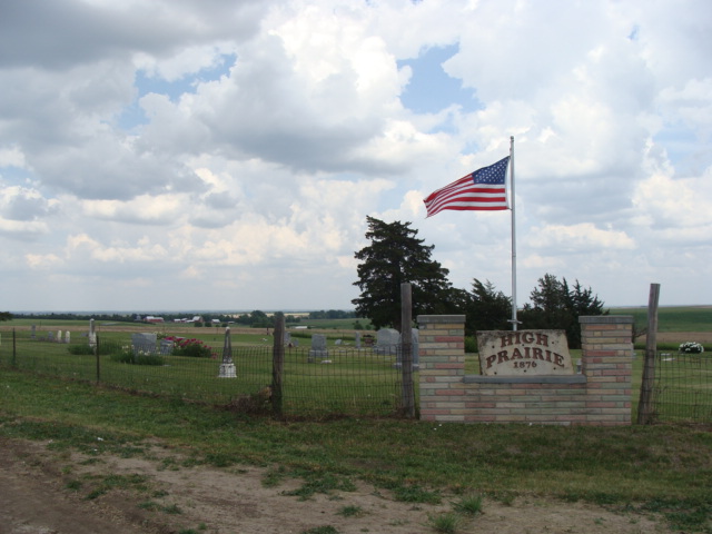
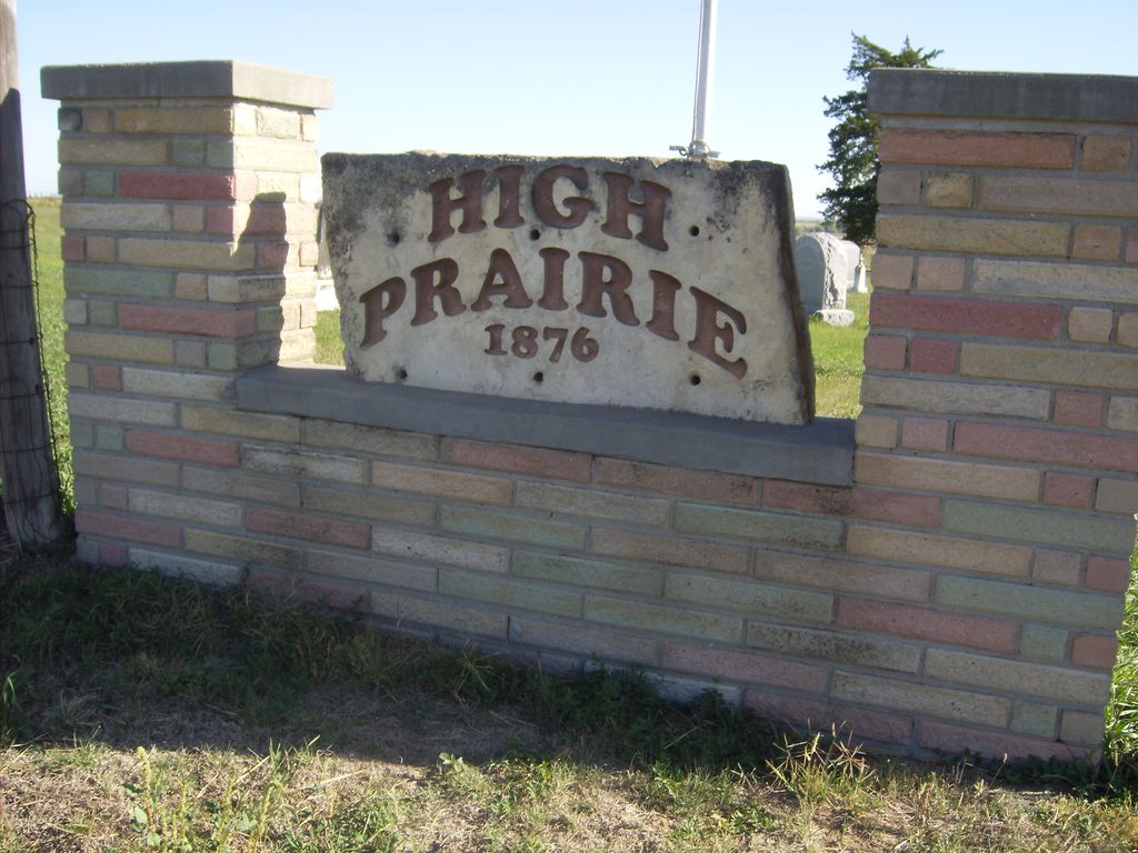
| Memorials | : | 14 |
| Location | : | Glen Elder, Mitchell County, USA |
| Coordinate | : | 39.3933300, -98.3113890 |
| Description | : | 7 miles south of Glen Elder, Kansas on Glen Elder Dam Road, at the intersection of M Road. |
frequently asked questions (FAQ):
-
Where is High Prairie Cemetery?
High Prairie Cemetery is located at 1951 M Road Glen Elder, Mitchell County ,Kansas ,USA.
-
High Prairie Cemetery cemetery's updated grave count on graveviews.com?
14 memorials
-
Where are the coordinates of the High Prairie Cemetery?
Latitude: 39.3933300
Longitude: -98.3113890
Nearby Cemetories:
1. Excelsior Cemetery
Walnut Creek Township, Mitchell County, USA
Coordinate: 39.3967018, -98.3578033
2. Naomi Cemetery
Walnut Creek Township, Mitchell County, USA
Coordinate: 39.4156036, -98.3588257
3. Honey Creek Cemetery
Solomon Rapids, Mitchell County, USA
Coordinate: 39.4328003, -98.2517014
4. Elmira Cemetery
Beloit, Mitchell County, USA
Coordinate: 39.3498640, -98.2422790
5. Rose Valley Cemetery
Hunter, Mitchell County, USA
Coordinate: 39.3333015, -98.3578033
6. Walnut Creek Cemetery
Walnut Creek Township, Mitchell County, USA
Coordinate: 39.4522018, -98.3625031
7. Fairview Cemetery South
Glen Elder, Mitchell County, USA
Coordinate: 39.4667015, -98.3063965
8. Hopewell Cemetery
Beloit, Mitchell County, USA
Coordinate: 39.3800011, -98.2097015
9. Moody Cemetery
Pittsburg Township, Mitchell County, USA
Coordinate: 39.3792100, -98.4285700
10. Grellett Cemetery
Glen Elder, Mitchell County, USA
Coordinate: 39.4813995, -98.3506012
11. Glen Elder Pioneer Cemetery
Glen Elder, Mitchell County, USA
Coordinate: 39.5020550, -98.3105670
12. Union Cemetery
Osborne County, USA
Coordinate: 39.2928009, -98.3692017
13. Glenwood Cemetery
Glen Elder, Mitchell County, USA
Coordinate: 39.5052986, -98.2818985
14. Pleasant Valley Cemetery
Beloit, Mitchell County, USA
Coordinate: 39.4555900, -98.1722200
15. Granite Creek Cemetery (Defunct)
Cawker City, Mitchell County, USA
Coordinate: 39.5097008, -98.3760986
16. Saint Boniface Cemetery
Tipton, Mitchell County, USA
Coordinate: 39.3356018, -98.4666977
17. Pleasant View Cemetery
Beloit, Mitchell County, USA
Coordinate: 39.3360939, -98.1519852
18. Oldham Cemetery
Carr Creek Township, Mitchell County, USA
Coordinate: 39.4005150, -98.4897160
19. Lutheran Cemetery
Osborne County, USA
Coordinate: 39.3736000, -98.4907990
20. Round Springs Cemetery
Round Springs Township, Mitchell County, USA
Coordinate: 39.2485352, -98.2560043
21. Browns Creek Cemetery
Solomon Rapids, Mitchell County, USA
Coordinate: 39.5393982, -98.2463989
22. Prairie Grove Cemetery
Cawker City, Mitchell County, USA
Coordinate: 39.5243988, -98.4257965
23. Saints Peter and Paul Cemetery
Cawker City, Mitchell County, USA
Coordinate: 39.5248130, -98.4282290
24. Greenwood Union Cemetery
Hunter, Mitchell County, USA
Coordinate: 39.2416992, -98.3972015


