
| Memorials | : | 341 |
| Location | : | Platteville, Grant County, USA |
| Website | : | www.platteville.org/publicworks/page/hillside-cemetery |
| Coordinate | : | 42.7257996, -90.4730988 |
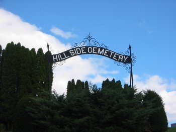
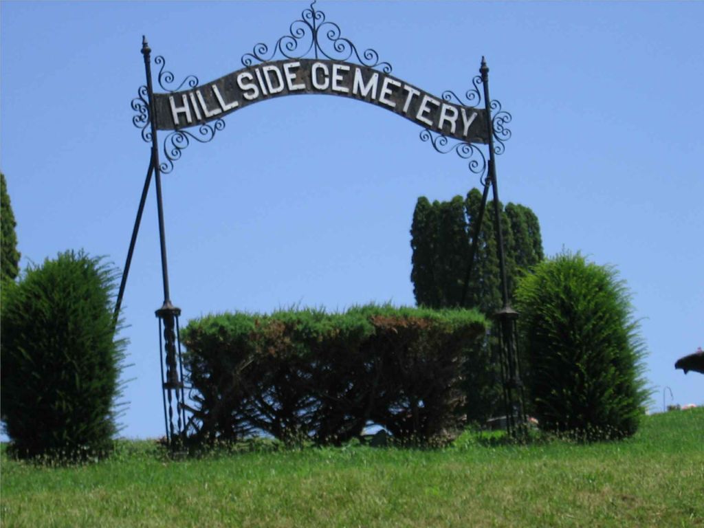
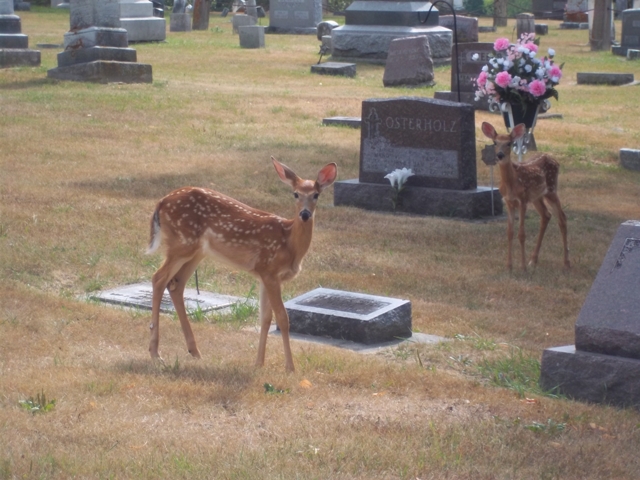
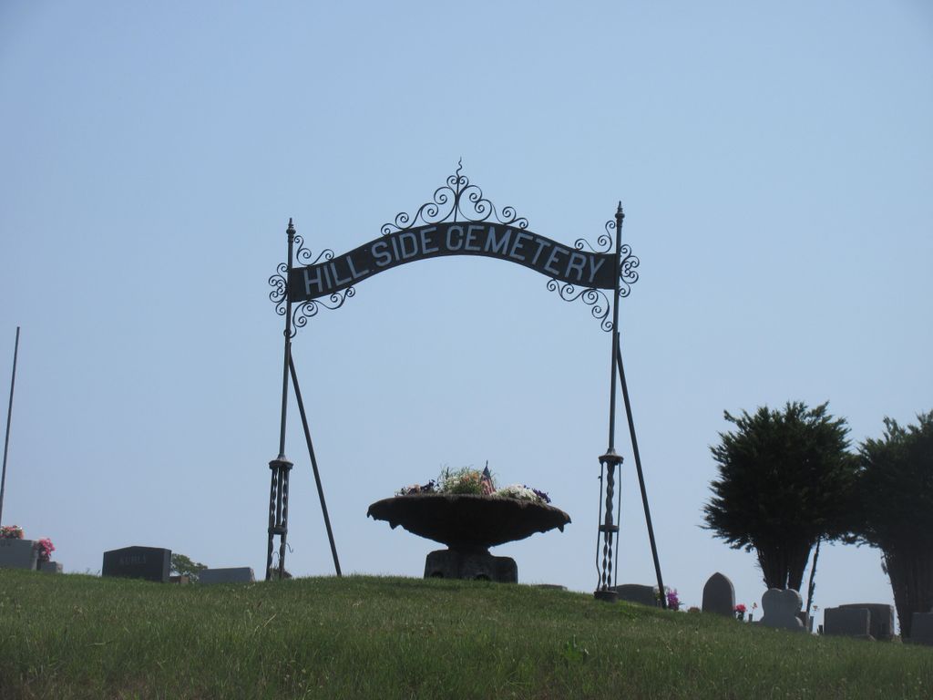
| Description | : | Hillside Cemetery is one of the Protestant cemeteries of Platteville, Wisconsin. It contains the burials of Major John Rountree, a founder of Platteville, and his family. The cemetery shares a hillside with Calvary Cemetery (Catholic) just outside of Platteville on State Road 80/81, but they are two distinct cemeteries. Hillside's grounds are the western portion of the hill. The City of Platteville website includes a map of Hillside Cemetery that defines the boundaries between Calvary and Hillside |
frequently asked questions (FAQ):
-
Where is Hillside Cemetery?
Hillside Cemetery is located at State Road 80/81 Platteville, Grant County ,Wisconsin , 53818USA.
-
Hillside Cemetery cemetery's updated grave count on graveviews.com?
337 memorials
-
Where are the coordinates of the Hillside Cemetery?
Latitude: 42.7257996
Longitude: -90.4730988
Nearby Cemetories:
1. Calvary Cemetery
Platteville, Grant County, USA
Coordinate: 42.7256012, -90.4710999
2. Indian Park
Platteville, Grant County, USA
Coordinate: 42.7391700, -90.4768100
3. Greenwood Cemetery
Platteville, Grant County, USA
Coordinate: 42.7313995, -90.4925003
4. Block House Cemetery
Platteville, Grant County, USA
Coordinate: 42.7038900, -90.4456100
5. Big Patch Cemetery
Platteville, Grant County, USA
Coordinate: 42.6676000, -90.4767000
6. Kaump Cemetery
Platteville, Grant County, USA
Coordinate: 42.7257996, -90.5622025
7. Coates Durley Cemetery
Cornelia, Grant County, USA
Coordinate: 42.6883710, -90.5497660
8. Churchill Family Cemetery
Platteville, Grant County, USA
Coordinate: 42.7911677, -90.5005626
9. Whig Cemetery
Platteville, Grant County, USA
Coordinate: 42.7611008, -90.5539017
10. Bashford Cemetery
Belmont, Lafayette County, USA
Coordinate: 42.7177000, -90.3639000
11. Harrison Cemetery
Platteville, Grant County, USA
Coordinate: 42.7257996, -90.5830994
12. Elk Grove Cemetery
Elk Grove, Lafayette County, USA
Coordinate: 42.6707950, -90.3919350
13. McNett East Cemetery
Elk Grove, Lafayette County, USA
Coordinate: 42.6601200, -90.4061500
14. McNett West Cemetery
Elk Grove, Lafayette County, USA
Coordinate: 42.6596985, -90.4060974
15. Mount Zion Cemetery
Cornelia, Grant County, USA
Coordinate: 42.6897200, -90.5829100
16. Willow Branch Mennonite Cemetery
Lancaster, Grant County, USA
Coordinate: 42.7986250, -90.5414980
17. Barber Rhea Cemetery
Belmont, Lafayette County, USA
Coordinate: 42.8064700, -90.4187100
18. Blakely Cemetery
British Hollow, Grant County, USA
Coordinate: 42.7224300, -90.5976100
19. Piddington Cemetery
Dickeyville, Grant County, USA
Coordinate: 42.6596985, -90.5616989
20. Smelser Cemetery
Georgetown, Grant County, USA
Coordinate: 42.6324997, -90.4749985
21. Strawberry Diggings Cemetery #2
Belmont, Lafayette County, USA
Coordinate: 42.6975770, -90.3482150
22. Strawberry Diggings Cemetery #1
Belmont, Lafayette County, USA
Coordinate: 42.6904020, -90.3470440
23. Belmont Cemetery
Belmont, Lafayette County, USA
Coordinate: 42.7328682, -90.3382187
24. McReynolds Cemetery
Arthur, Grant County, USA
Coordinate: 42.8246994, -90.4368973