| Memorials | : | 0 |
| Location | : | Holton, Ripley County, USA |
| Coordinate | : | 39.0696050, -85.4004070 |
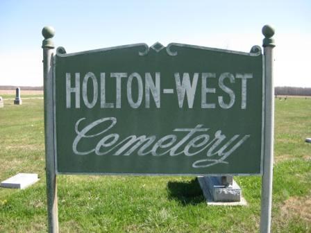
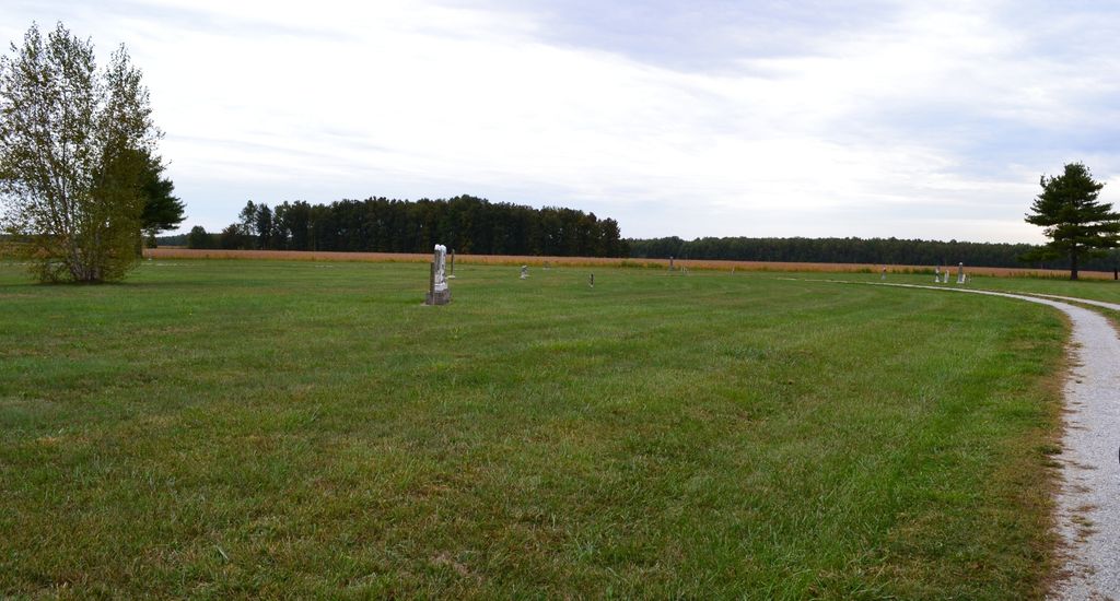
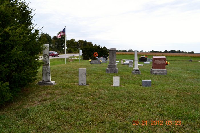
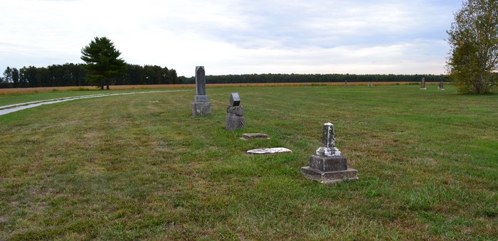
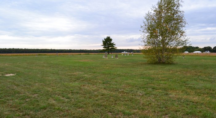
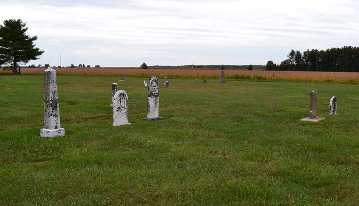
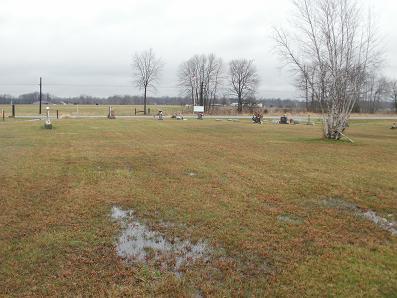
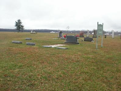
| Description | : | The cemetery is located in Otter Creek Township on the south side of US 50 about 0.3 miles east of its intersection with S County Road 800 W. Indiana Cemetery Locations, Volume 2, published by the Indiana Genealogical Society (01 April 2006), gives the primary cemetery name of Holton West Cemetery with an alternate name of Little Arlington Cemetery. The cemetery is listed in the Cemetery and Burial Grounds Registry of the Indiana Department of Natural Resources (DNR) and in the State Historical Architectural and Archaeological Research Database (SHAARD) with Cemetery Record Number CR-69-127 (Little Arlington / Holton... Read More |
frequently asked questions (FAQ):
-
Where is Holton West Cemetery?
Holton West Cemetery is located at US 50 Holton, Ripley County ,Indiana , 47023USA.
-
Holton West Cemetery cemetery's updated grave count on graveviews.com?
0 memorials
-
Where are the coordinates of the Holton West Cemetery?
Latitude: 39.0696050
Longitude: -85.4004070
Nearby Cemetories:
1. Holton Cemetery
Holton, Ripley County, USA
Coordinate: 39.0758018, -85.3908005
2. Old Hopewell Cemetery
Ripley County, USA
Coordinate: 39.0964012, -85.3863983
3. OBrien Family Cemetery
Ripley County, USA
Coordinate: 39.0749190, -85.3515980
4. Hopewell Cemetery
Holton, Ripley County, USA
Coordinate: 39.1083679, -85.4134521
5. Saint Bridget Cemetery
Jennings County, USA
Coordinate: 39.0590870, -85.4532590
6. Dabney Cemetery
Dabney, Ripley County, USA
Coordinate: 39.0900383, -85.3483124
7. Otter Creek Cemetery
Butlerville, Jennings County, USA
Coordinate: 39.0722008, -85.4728012
8. Sheppard Cemetery
Ripley County, USA
Coordinate: 39.0127983, -85.3707962
9. Otter Village Cemetery
Ripley County, USA
Coordinate: 39.1217290, -85.3486740
10. New Marion Baptist Cemetery
New Marion, Ripley County, USA
Coordinate: 39.0117989, -85.3589020
11. Corbin Cemetery
Zenas, Jennings County, USA
Coordinate: 39.1277000, -85.4449000
12. Zenas Cemetery
Zenas, Jennings County, USA
Coordinate: 39.1147780, -85.4779990
13. Brush Creek Cemetery
Jennings County, USA
Coordinate: 39.0661125, -85.5041428
14. West Zenas Cemetery
Zenas, Jennings County, USA
Coordinate: 39.1206017, -85.4856033
15. Corbin-Green Cemetery
Jennings County, USA
Coordinate: 39.1027780, -85.4993870
16. Tanglewood Cemetery
Versailles, Ripley County, USA
Coordinate: 39.0491982, -85.2921982
17. Grove Burial Grounds
Butlerville, Jennings County, USA
Coordinate: 39.0124020, -85.4920890
18. Greendale Cemetery
Osgood, Ripley County, USA
Coordinate: 39.1253000, -85.3069710
19. Loyd Cemetery
Holton, Ripley County, USA
Coordinate: 39.1634760, -85.4230460
20. County Farm Cemetery
Ripley County, USA
Coordinate: 38.9933014, -85.3171997
21. Union Flat Rock Cemetery
Osgood, Ripley County, USA
Coordinate: 39.1662483, -85.4364777
22. Butlerville Cemetery
Butlerville, Jennings County, USA
Coordinate: 39.0408990, -85.5256620
23. Muscatatuck Cemetery
Jennings County, USA
Coordinate: 39.0402985, -85.5255966
24. Wycoff Cemetery
Versailles, Ripley County, USA
Coordinate: 39.0305110, -85.2786040

