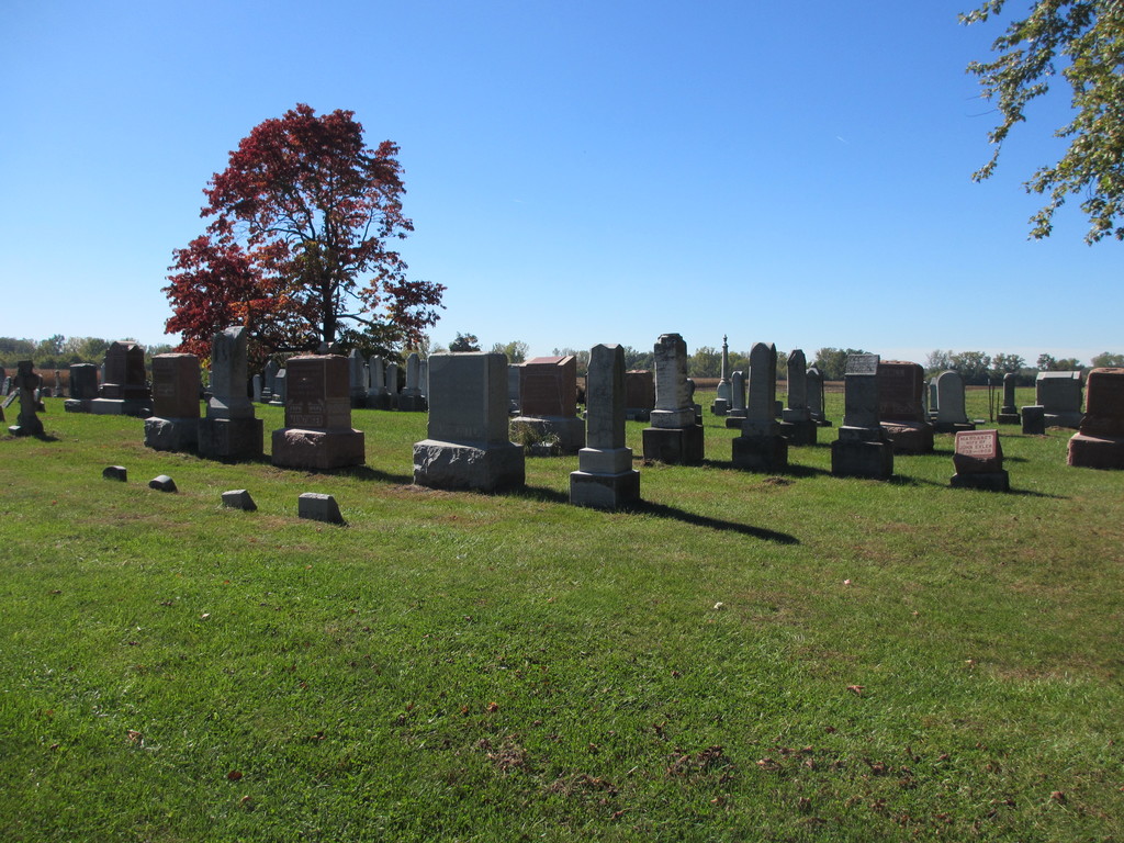
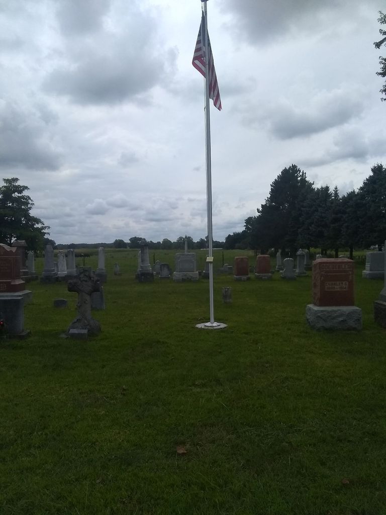
| Memorials | : | 11 |
| Location | : | Raisinville Township, Monroe County, USA |
| Coordinate | : | 41.9916077, -83.4294968 |
frequently asked questions (FAQ):
-
Where is Holy Ghost Evangelical Lutheran Cemetery?
Holy Ghost Evangelical Lutheran Cemetery is located at Heiss Road Raisinville Township, Monroe County ,Michigan , 48162USA.
-
Holy Ghost Evangelical Lutheran Cemetery cemetery's updated grave count on graveviews.com?
11 memorials
-
Where are the coordinates of the Holy Ghost Evangelical Lutheran Cemetery?
Latitude: 41.9916077
Longitude: -83.4294968
Nearby Cemetories:
1. Gethsemane Cemetery
Monroe, Monroe County, USA
Coordinate: 41.9925650, -83.4274120
2. McIntyre Cemetery
Monroe, Monroe County, USA
Coordinate: 41.9900017, -83.4569016
3. Calkins Cemetery
Frenchtown Township, Monroe County, USA
Coordinate: 41.9972700, -83.3907800
4. Saint Patricks Cemetery
Carleton, Monroe County, USA
Coordinate: 42.0224991, -83.4188995
5. Saint Patricks Cemetery #2
Carleton, Monroe County, USA
Coordinate: 42.0226620, -83.4190390
6. Saint Patricks Cemetery #1
Carleton, Monroe County, USA
Coordinate: 42.0252360, -83.4197690
7. Grafton Cemetery
Grafton, Monroe County, USA
Coordinate: 42.0341988, -83.3869019
8. Saint Joseph Cemetery
Maybee, Monroe County, USA
Coordinate: 42.0088997, -83.5121994
9. Northside Cemetery
Maybee, Monroe County, USA
Coordinate: 42.0093994, -83.5132980
10. Saint Antoine Cemetery
Monroe, Monroe County, USA
Coordinate: 41.9263800, -83.4304550
11. Saint Joseph Cemetery
Monroe, Monroe County, USA
Coordinate: 41.9289017, -83.3921967
12. Old Burial Ground
Monroe, Monroe County, USA
Coordinate: 41.9259370, -83.3927540
13. Immaculate Heart of Mary Cemetery
Monroe, Monroe County, USA
Coordinate: 41.9206090, -83.4036330
14. Carleton Cemetery
Carleton, Monroe County, USA
Coordinate: 42.0615005, -83.3823013
15. King Cemetery
Monroe, Monroe County, USA
Coordinate: 41.9411011, -83.5100021
16. Saint Pauls Cemetery
Maybee, Monroe County, USA
Coordinate: 42.0066986, -83.5338974
17. Potters Field Cemetery
Monroe, Monroe County, USA
Coordinate: 41.9180500, -83.4711100
18. Doty Cemetery
Monroe, Monroe County, USA
Coordinate: 41.9538994, -83.5252991
19. Memorial Place Cemetery
Monroe, Monroe County, USA
Coordinate: 41.9108370, -83.4025760
20. Sandy Hill Cemetery
Scofield, Monroe County, USA
Coordinate: 42.0525017, -83.5089035
21. Battlefield of Frenchtown Monument
Monroe, Monroe County, USA
Coordinate: 41.9136110, -83.3783330
22. Lutheran Home Cemetery
Monroe, Monroe County, USA
Coordinate: 41.9063650, -83.4064380
23. Woodland Cemetery
Monroe, Monroe County, USA
Coordinate: 41.9075012, -83.3925018
24. Trinity Lutheran Cemetery
Monroe, Monroe County, USA
Coordinate: 41.9069444, -83.3919444


