| Memorials | : | 0 |
| Location | : | Penn Street, Chiltern District, England |
| Coordinate | : | 51.6571500, -0.6661430 |
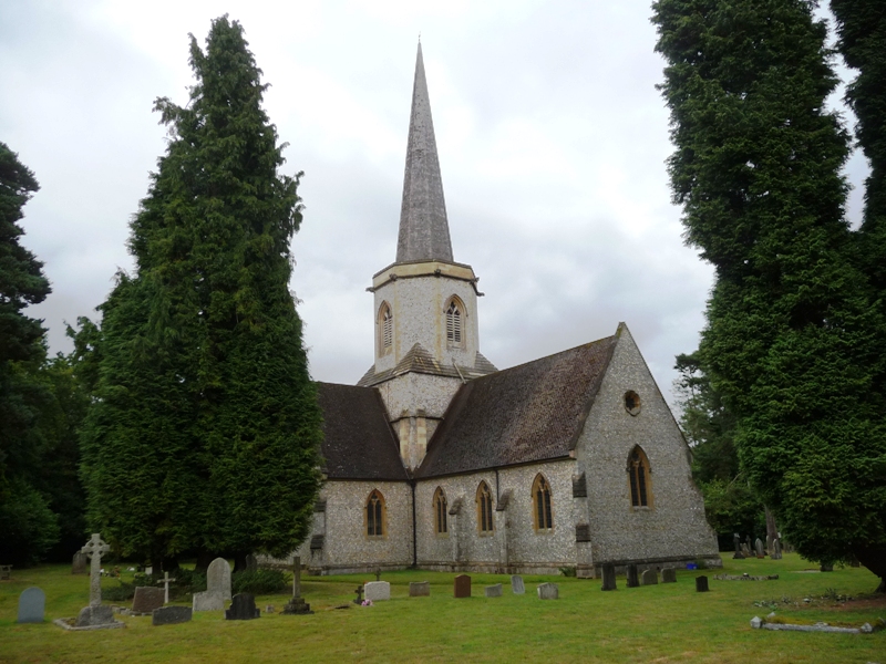
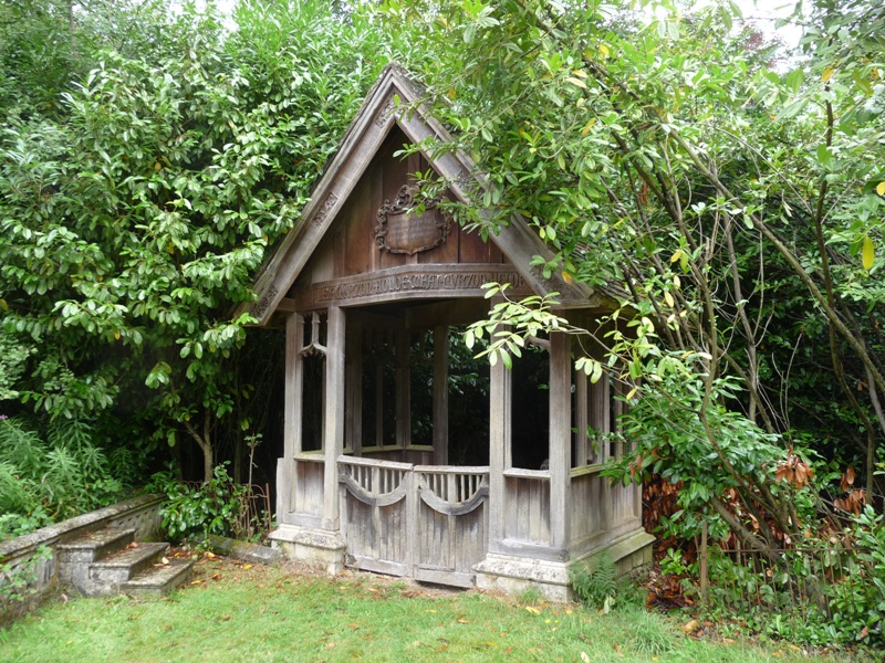
| Description | : | The village of Penn Street is the location of Penn House, the home of Earl Howe. The family's influence on the village is evident around Penn Street church. The Lych Gate and Countess Howe Memorial were moved from Congerstone in 1919 when the family sold the Gopsall Estate in Leicestershire. |
frequently asked questions (FAQ):
-
Where is Holy Trinity Churchyard?
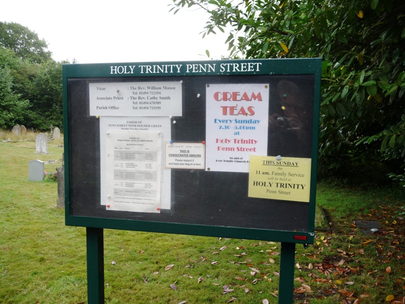
Holy Trinity Churchyard is located at Penn Street, Chiltern District ,Buckinghamshire , HP7 0PXEngland.
-
Holy Trinity Churchyard cemetery's updated grave count on graveviews.com?
0 memorials
-
Where are the coordinates of the Holy Trinity Churchyard?
Latitude: 51.6571500
Longitude: -0.6661430
Nearby Cemetories:
1. Christ Church Churchyard
Holmer Green, Chiltern District, England
Coordinate: 51.6680370, -0.6914780
2. All Saints Churchyard
Coleshill, Chiltern District, England
Coordinate: 51.6469400, -0.6318000
3. Chilterns Crematorium
Amersham, Chiltern District, England
Coordinate: 51.6594970, -0.6273680
4. St. John the Baptist Churchyard
Little Missenden, Chiltern District, England
Coordinate: 51.6819700, -0.6694300
5. Holy Trinity Churchyard
Penn, Chiltern District, England
Coordinate: 51.6310240, -0.6774510
6. St Margaret Churchyard
Tylers Green, Wycombe District, England
Coordinate: 51.6353110, -0.6960490
7. The Platt Cemetery
Amersham, Chiltern District, England
Coordinate: 51.6654600, -0.6195700
8. King's Churchyard
Amersham, Chiltern District, England
Coordinate: 51.6655250, -0.6195040
9. Holy Trinity Churchyard
Hazlemere, Wycombe District, England
Coordinate: 51.6492680, -0.7168260
10. St. Mary the Virgin Churchyard
Amersham, Chiltern District, England
Coordinate: 51.6670010, -0.6161300
11. Cock Lane Cemetery
High Wycombe, Wycombe District, England
Coordinate: 51.6322236, -0.7045250
12. Little Kingshill Baptist Churchyard
High Wycombe, Wycombe District, England
Coordinate: 51.6821322, -0.7087242
13. Cryers Hill Methodist Cemetery
Cryers Hill, Wycombe District, England
Coordinate: 51.6646790, -0.7349370
14. Stanley Hill Cemetery
Amersham, Chiltern District, England
Coordinate: 51.6657100, -0.5962700
15. Four Ashes Garden of Rest
Hughenden, Wycombe District, England
Coordinate: 51.6614724, -0.7389121
16. St Peter and St Paul Churchyard
Great Missenden, Chiltern District, England
Coordinate: 51.7008020, -0.6989420
17. Great Missenden Abbey
Great Missenden, Chiltern District, England
Coordinate: 51.7007590, -0.7028530
18. Atlona Road Cemetery
Loudwater, Wycombe District, England
Coordinate: 51.6101490, -0.6932680
19. Altona Road Cemetery
Chepping Wycombe, Wycombe District, England
Coordinate: 51.6102200, -0.6938200
20. Great Missenden Baptist Cemetery
Great Missenden, Chiltern District, England
Coordinate: 51.7010147, -0.7086578
21. High Wycombe Cemetery
High Wycombe, Wycombe District, England
Coordinate: 51.6383160, -0.7432510
22. Chesham Bois Burial Ground
Chesham Bois, Chiltern District, England
Coordinate: 51.6914600, -0.6037770
23. St. Leonard Churchyard
Chesham Bois, Chiltern District, England
Coordinate: 51.6887760, -0.5992920
24. St. Michael and All Angels Churchyard
Hughenden, Wycombe District, England
Coordinate: 51.6518960, -0.7522470


